
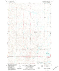
1983 Map of Alkaline Lake NW
USGS Topo · Published 1983About this map
Glueckstal Ch stands as a spiritual landmark in this northern plains landscape, situated within a region defined by the distinct townships of Bunker, Peace, Valley, and Glendale. The 1983 edition illustrates the transition between Kidder and Logan counties, where the prairie is dotted with countless small depressions and seasonal water bodies typical of the glaciated Missouri Coteau.
Find a feature on this map
9 named features on this map. Tap any name to fly to it.
Don’t see what you’re looking for? This feature index may not catch every label — zoom into the map to look around manually.
Map Details
Editions of this 1983 Alkaline Lake NW Map
This is the sole edition of this map. No revisions or reprints were ever made.
Other maps of this area

1952 · Tappen South
USGS Topo · 1:24,000

1952 · Tappen SE
USGS Topo · 1:24,000

1952 · Dawson
USGS Topo · 1:24,000

1953 · Jamestown
USGS Topo · 1:250,000

1956 · Jamestown
USGS Topo · 1:250,000

1979 · Kintyre NE
USGS Topo · 1:24,000

1980 · McKenna Lake North
USGS Topo · 1:24,000

1983 · Alkaline Lake SW
USGS Topo · 1:24,000

1983 · Alkaline Lake
USGS Topo · 1:24,000
1983 · Streeter Flats
USGS Topo · 1:24,000