Old Maps of Glendale Township, North Dakota for Hiking & Exploration
Hike through history with 27 historic maps of Glendale Township. Explore old trails, ghost towns, and forgotten backroads — perfect for outdoor adventurers and local explorers.
- Rediscover forgotten places: Map out old mining camps, roads, and footpaths that no longer exist on modern maps.
- Layer with modern tools: Combine with LiDAR or satellite views to plan hikes through historical terrain.
- Made for exploration: Popular among hikers, overlanders, and local history lovers.
Use these maps to find adventure and explore the hidden past of Glendale Township.
Glendale Township, ND maps
(27)- 1953 Map of Jamestown
 1953 Jamestown1953 Print · USGSSoutheastern North Dakota was a thriving rail and agricultural corridor in the early fifties, anchored by the James River. Researchers can trace the footprints of institutional landmarks like the North Dakota State Hospital and historic sites such as Whitestone Hill Battlefield Park.3 unique versions available
 - 1956 Map of Jamestown
 1956 Jamestown1956 Print · USGSThe James River valley and the vast alkali lake country of south-central North Dakota are captured here in the mid-fifties. Genealogists can trace family farms across several counties, locating small rail stops like Medberry and monuments like Whitestone Hill Battlefield Park.
 - 1979 Map of Kintyre NE, 1980 Print
 1979 Kintyre NE1980 Print · USGSKidder and Logan counties meet in this late 1970s survey of the prairie townships. Local researchers can trace family landmarks like Liberty Cem, the central Townhall, and the expansive Dawson State Game Management Area.
 - 1980 Map of McKenna Lake North
 1980 McKenna Lake North1980 Print · USGSThe Logan County prairie around the turn of the 1980s reveals a landscape defined by the Soo Line railroad and local townships. Researchers can locate St Philips Cem, the settlement of Napoleon, and rural landmarks like Mc Kenna Lake.
 - 1983 Map of Alkaline Lake SW
 1983 Alkaline Lake SW1983 Print · USGSNorth Dakota's prairie pothole region is documented here in the early eighties, showing the agrarian townships of Glendale and Bryant. Researchers can trace the section-line roads and local landmarks like Salem Cem and the Glendale Townhall.
 - 1983 Map of Alkaline Lake NW
 1983 Alkaline Lake NW1983 Print · USGSKidder and Logan counties are captured here in the early 1980s, showcasing a rural landscape of townships and scattered prairie potholes. Genealogists and local historians can locate Glueckstal Ch and trace early land use around Fresh Lake.
 - 1985 Map of Steele, 1994 Print
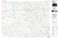 1985 Steele1994 Print · USGSCentral North Dakota’s prairie pothole region is showcased here in the mid-1980s, revealing a landscape of vital wetlands and rail-dependent towns. Researchers can trace family ties and land use near Steele, Napoleon, and the many waterfowl production areas like Slade National Wildlife Refuge.
 - 2011 Map of Alkaline Lake SW, 2011 Print
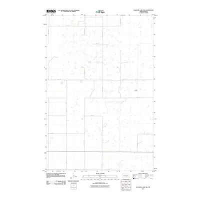 2011 Alkaline Lake SW2011 Print · USGSLogan County’s prairie landscape is captured here in the early twenty-first century, showing the grid of section roads and numerous small wetlands. Family historians can locate Salem Cemetery or trace routes like 35th Ave SE and Lake Ave E.
 - 2011 Map of Kintyre NE, 2011 Print
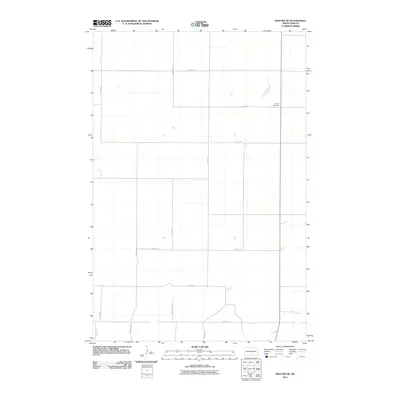 2011 Kintyre NE2011 Print · USGSThe Logan County prairie in the early twenty-first century is captured here as a landscape of grid-aligned farm roads and vast open spaces. Genealogists and local historians can locate Liberty Cemetery or trace the routes of 47th St SE and 54th St SE.
 - 2011 Map of McKenna Lake North, 2011 Print
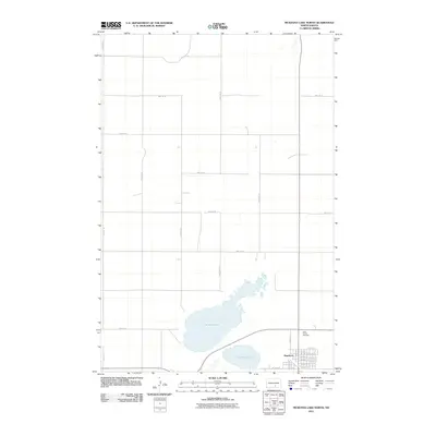 2011 McKenna Lake North2011 Print · USGSNapoleon is captured during a period of steady growth in the early twenty-first century, showing the town's grid and rural surroundings. Researchers can locate Saint Philips Cemetery and trace the extensive shoreline of Mc Kenna Lake just north of W Lake Ave.
 - 2011 Map of Alkaline Lake NW, 2011 Print
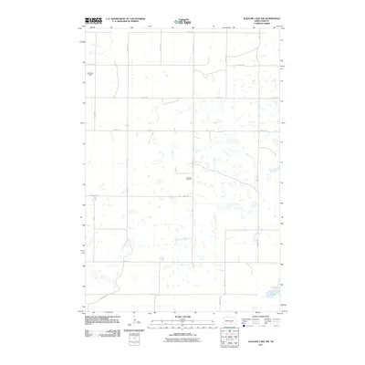 2011 Alkaline Lake NW2011 Print · USGSGlendale Township's section lines and prairie potholes are captured here during the early twenty-first century. Genealogists and local historians can locate Glueckstal Cemetery and trace rural routes like 35th Ave SE near Fresh Lake.
 - 2014 Map of McKenna Lake North, 2014 Print
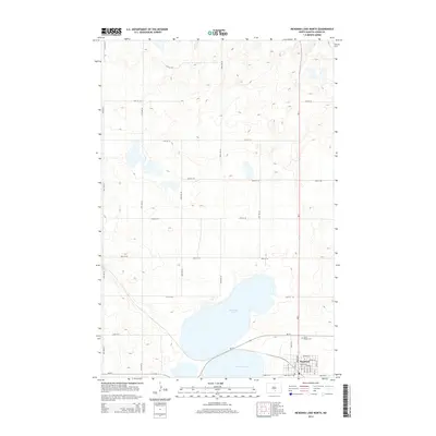 2014 McKenna Lake North2014 Print · USGSNapoleon and the prairie lands of Logan County are captured here just after the turn of the millennium. Genealogists and local historians can trace the town’s modern grid and locate landmarks like Saint Philips Cem and the shores of McKenna Lake.
 - 2014 Map of Kintyre NE, 2014 Print
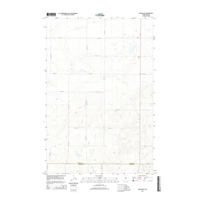 2014 Kintyre NE2014 Print · USGSThe rural divide between Kidder and Logan counties is captured here in the early twenty-first century. Genealogists and local historians can locate Liberty Cem and trace the geometric road network including ND-3 and 54th St SE.
 - 2014 Map of Alkaline Lake NW, 2014 Print
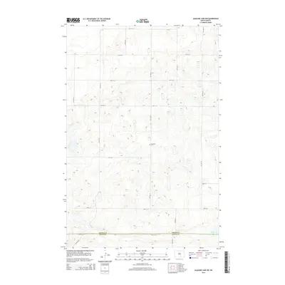 2014 Alkaline Lake NW2014 Print · USGSThe North Dakota prairie at the border of Kidder and Logan counties is captured here in the early twenty-first century. Genealogists and local historians can locate Glueckstal Cem and trace the drainage patterns surrounding Fresh Lake.
 - 2014 Map of Alkaline Lake SW, 2014 Print
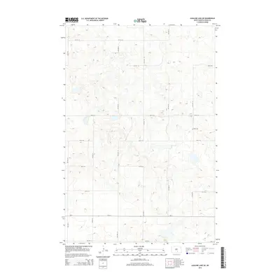 2014 Alkaline Lake SW2014 Print · USGSGlendale Township's glaciated prairie landscape is captured here in the early twenty-first century, showing a high density of wetlands and potholes. Genealogists and local historians can locate Salem Cem and trace the section-line roads like 37th Ave SE near ND-34.
 - 2017 Map of Alkaline Lake SW, 2017 Print
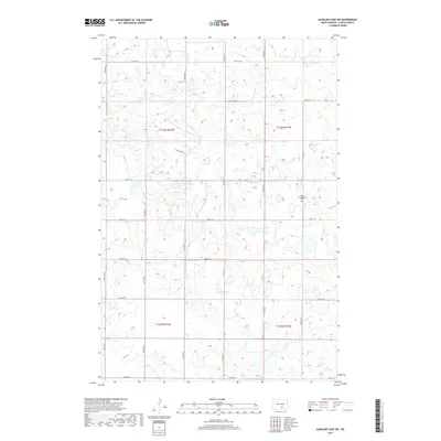 2017 Alkaline Lake SW2017 Print · USGSNorth Dakota's prairie landscape in Logan County is documented here during the 2010s. Genealogists and historians can locate Salem Congregation Cem and trace the section-line roads like 32nd Ave SE and 60th St SE.
 - 2017 Map of McKenna Lake North, 2017 Print
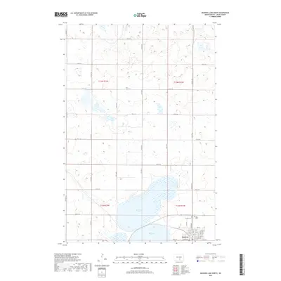 2017 McKenna Lake North2017 Print · USGSNapoleon and the surrounding Logan County prairie are shown here in the late twenty-teens, during a period of modern agricultural stability. Genealogists can locate the Napoleon Cem and Saint Philips Cem near the banks of McKenna Lake.
 - 2017 Map of Kintyre NE, 2017 Print
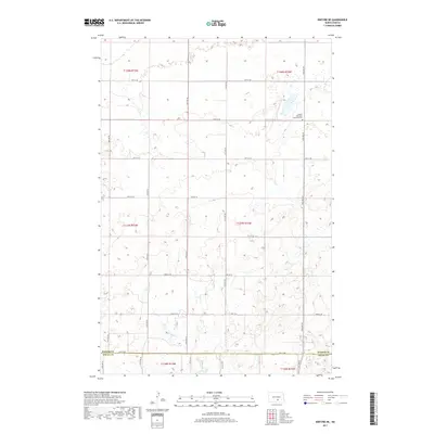 2017 Kintyre NE2017 Print · USGSGlendale Township and the surrounding prairie are captured here during the late twenty-first century. Researchers can trace the section-line roads of Kidder County and Logan County or locate the Liberty Methodist Episcopal Cem.
 - 2018 Map of Alkaline Lake NW, 2018 Print
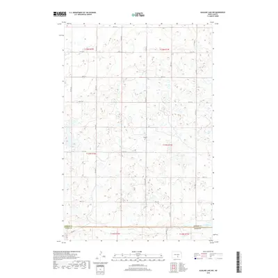 2018 Alkaline Lake NW2018 Print · USGSThe North Dakota prairie at the Kidder and Logan county line is captured here in the late twenty-tens. Genealogists and local historians can locate the Glueckstal Cem and trace the drainage patterns surrounding Fresh Lake.
 - 2020 Map of McKenna Lake North, 2020 Print
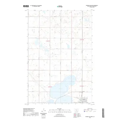 2020 McKenna Lake North2020 Print · USGSNapoleon and the expansive McKenna Lake dominate this prairie landscape in the early twenty-first century. Genealogists and local historians can trace the town’s residential grid and locate the Napoleon Cem and Saint Philip Catholic Cem.
 - 2020 Map of Alkaline Lake NW, 2020 Print
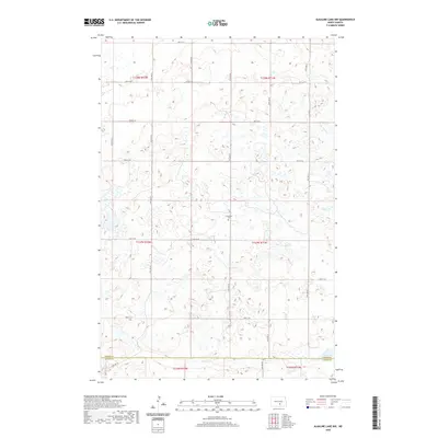 2020 Alkaline Lake NW2020 Print · USGSThe borderlands of Kidder and Logan counties in the 2010s remain a landscape of prairie potholes and agricultural section lines. Genealogists and local historians can locate the Glueckstal Cem and trace the shores of Fresh Lake amidst a grid of roads like 51st St SE.
 - 2020 Map of Alkaline Lake SW, 2020 Print
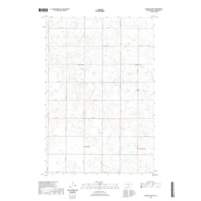 2020 Alkaline Lake SW2020 Print · USGSNorth Dakota's rural Logan County landscape is mapped here in the contemporary era, showing the organized grid of section roads and prairie wetlands. Genealogists can locate the Salem Congregation Cem and trace early range lines like T135N R72W.
 - 2020 Map of Kintyre NE, 2020 Print
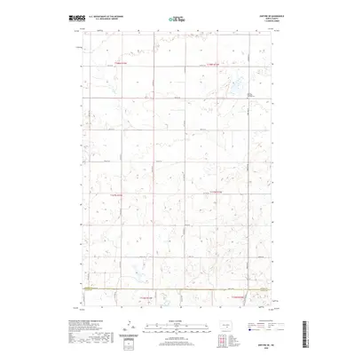 2020 Kintyre NE2020 Print · USGSGlendale Township and the surrounding prairie lands are captured here during the late twenty-teens, showing the structured grid of a North Dakota farming community. Genealogists can locate Liberty Methodist Episcopal Cem and trace the section lines along 54th St SE at the Kidder and Logan County border.
 - 2024 Map of Alkaline Lake SW, 2024 Print
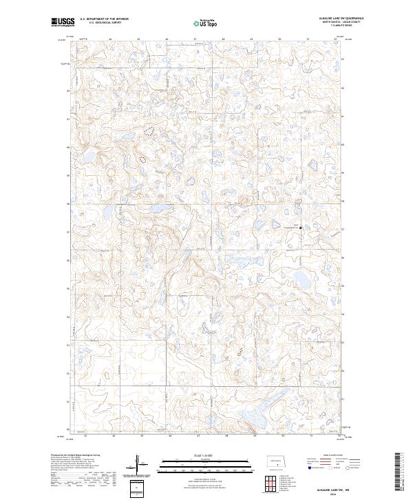 2024 Alkaline Lake SW2024 Print · USGSLogan County’s rural prairie landscape is documented here in the early twenty-first century, showcasing the region's characteristic wetland pockets and section-line roads. Genealogists can locate the Salem Congregation Cem while researchers trace routes like Lake Ave E and 35th Ave SE.
 - 2024 Map of McKenna Lake North, 2024 Print
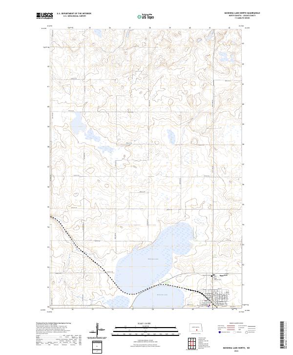 2024 McKenna Lake North2024 Print · USGSNapoleon and the surrounding Logan County prairie are captured in this recent survey of the North Dakota landscape. Genealogists and researchers can locate family sites near McKenna Lake or trace town history at the Logan County Courthouse and Napoleon Cem.
Showing maps 1-25 of 27
Top cities near Glendale Township
Frequently asked questions
- What are the different types of historical maps available for Glendale Township?
- What is the oldest map of Glendale Township?
- Where can I purchase historical maps of Glendale Township for my home or office?
- Where can I download high-res historical maps of Glendale Township?
- Are there historical topographic maps available for Glendale Township?
- Is there historical aerial imagery available for Glendale Township?
- Where are historical maps of Glendale Township sourced from?