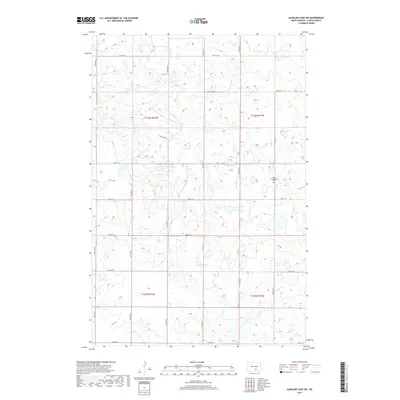
2017 Map of Alkaline Lake SW
USGS Topo · Published 2017About this map
Salem Congregation Cem sits as a solitary local landmark in this prairie landscape of Logan County, positioned along the border of t136n r71w. The terrain is characterized by a dense network of glacial potholes and small wetlands, creating a complex hydrology that dictates the placement of the section-line road grid. The intersection of routes like 55th St SE and 32nd Ave SE defines the rural infrastructure, supporting the agricultural life of the area. This survey illustrates the persistent township and range system in North Dakota, where the vast majority of the land is dedicated to farming, punctuated only by these occasional community sites and the winding paths of roads such as Lake Ave E.
Find a feature on this map
20 named features on this map. Tap any name to fly to it.
Don’t see what you’re looking for? This feature index may not catch every label — zoom into the map to look around manually.
Map Details
Editions of this 2017 Alkaline Lake SW Map
This is the sole edition of this map. No revisions or reprints were ever made.
Other maps of this area

1953 · Jamestown
USGS Topo · 1:250,000

1956 · Jamestown
USGS Topo · 1:250,000

1979 · Kintyre NE
USGS Topo · 1:24,000

1979 · McKenna Lake South
USGS Topo · 1:24,000

1980 · McKenna Lake North
USGS Topo · 1:24,000

1982 · Wishek NE
USGS Topo · 1:24,000

1982 · Burnstad
USGS Topo · 1:24,000

1983 · Alkaline Lake SW
USGS Topo · 1:24,000

1983 · Alkaline Lake
USGS Topo · 1:24,000

1983 · Alkaline Lake NW
USGS Topo · 1:24,000