Old Maps of Center, North Dakota for Genealogy
Trace your family roots with 8 historic maps of Center. These high-res maps reveal old neighborhoods, homesites, landmarks, and streets — helping you uncover where your ancestors lived and how the area evolved over time.
- Explore historic neighborhoods: Identify where your relatives may have lived in the 1800s or 1900s.
- Compare maps over time: Trace the changes in streets, buildings, and landmarks for multi-generational research.
- Perfect for genealogy & ancestry research: Used by family historians and researchers to map out lineage and migration.
These maps are an incredible resource for exploring your personal connection to Center's past.
Center, ND maps
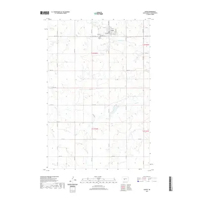
(8)- 1954 Map of McClusky, 1968 Print
 1954 McClusky1968 Print · USGSCentral North Dakota was undergoing a profound transformation in the fifties as the newly formed Lake Sakakawea reshaped the Missouri River valley. Genealogists and historians can trace rail-town development along the Soo Line and locate historic markers like Garrison Dam or the Lewis and Clark Trail.3 unique versions available
 - 1958 Map of McClusky
 1958 McClusky1958 Print · USGSCentral North Dakota was undergoing a profound change in the late fifties as the Garrison Reservoir filled behind its massive new dam. Trace the early layout of Riverdale, the Lewis and Clark Trail, and the vanishing rail stops of the Northern Pacific.
 - 1972 Map of Center, 1974 Print
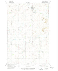 1972 Center1974 Print · USGSThe Oliver County seat in the early 1970s shows a community at the edge of active coal and scoria extraction. Genealogists and researchers can trace local landmarks like St Pauls Cem, the course of Hagel Creek, and the extensive network of Strip Mines.2 unique versions available
 - 2011 Map of Center, 2011 Print
 2011 Center2011 Print · USGSCovers Center, including Oliver County, United States, and other nearby areas
 - 2014 Map of Center, 2014 Print
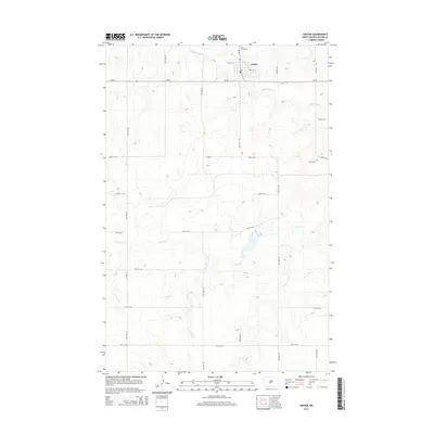 2014 Center2014 Print · USGSCovers Center, including Oliver County, United States, and other nearby areas
 - 2017 Map of Center, 2017 Print
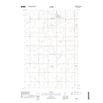 2017 Center2017 Print · USGSCovers Center, including Oliver County, United States, and other nearby areas
 - 2020 Map of Center, 2020 Print
 2020 Center2020 Print · USGSCovers Center, including Oliver County, United States, and other nearby areas
 - 2024 Map of Center, 2024 Print
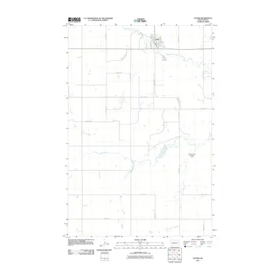
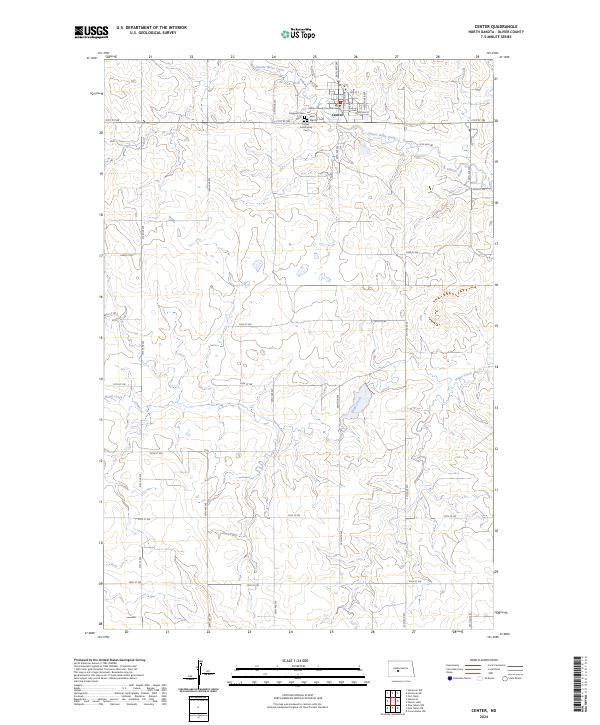 2024 Center2024 Print · USGSOliver County comes into focus in this contemporary survey of its county seat and the surrounding high plains. Genealogists and local historians can trace the town grid of Center and locate several burial grounds like Hagerott Cem and Saint Martins Cem.
End of results
Showing maps 1-8 of 8
Top cities near Center
Frequently asked questions
- What are the different types of historical maps available for Center?
- What is the oldest map of Center?
- Where can I purchase historical maps of Center for my home or office?
- Where can I download high-res historical maps of Center?
- Are there historical topographic maps available for Center?
- Is there historical aerial imagery available for Center?
- Where are historical maps of Center sourced from?