Old Maps of St. Thomas, North Dakota for Hiking & Exploration
Hike through history with 19 historic maps of St. Thomas. Explore old trails, ghost towns, and forgotten backroads — perfect for outdoor adventurers and local explorers.
- Rediscover forgotten places: Map out old mining camps, roads, and footpaths that no longer exist on modern maps.
- Layer with modern tools: Combine with LiDAR or satellite views to plan hikes through historical terrain.
- Made for exploration: Popular among hikers, overlanders, and local history lovers.
Use these maps to find adventure and explore the hidden past of St. Thomas.
St. Thomas, ND maps
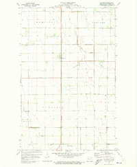
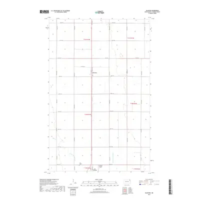
(19)- 1939 Map of Glasston, 1958 Print
 1939 Glasston1958 Print · USGSNorth Dakota's fertile Red River Valley is captured here in the late 1930s, showing a landscape defined by rail and agriculture. Trace the Great Northern line to find Sugar Siding or locate early rural schools like Union Sch and School No 52.
 - 1941 Map of Glasston
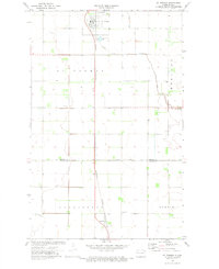
 1941 Glasston1941 Print · USGSThe Red River Valley's agricultural heartland is documented here just before the mid-century, showing a landscape defined by rail-side elevators and rural townships. Researchers can trace family roots through numerous country schools like Quam Sch and landmarks such as the Norwegian Cem near Sugar Siding.
 - 1952 Map of Thief River Falls, 1967 Print
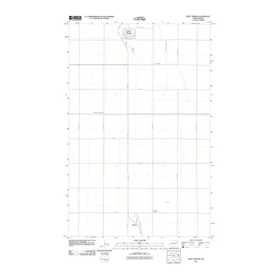
 1952 Thief River Falls1967 Print · USGSThe Red River Valley's agricultural and conservation landscape is captured in the mid-1950s, detailing a web of rail lines and international border crossings. Researchers can trace family roots in towns like Thief River Falls, locate the State School for Blind, and survey landmarks like the Agassiz National Wildlife Refuge.2 unique versions available
 - 1956 Map of Thief River Falls
 1956 Thief River Falls1956 Print · USGSThe Red River Valley in the mid-1950s is captured here as a sprawling network of rail corridors and wildlife refuges along the Canadian border. Trace the vanished transport routes of the Dismantled railroad and Abandoned railroad or locate local landmarks like the Herrick Elevator and State School for Blind.
 - 1957 Map of Thief River Falls
 1957 Thief River Falls1957 Print · USGSThe Red River Valley in the mid-fifties is captured here as a thriving network of rail towns and conservation lands. Genealogists and historians can trace family roots through settlements like Grafton, Pembina, and Hallock, or locate landmarks such as the State School for Blind and the Great Northern RR corridor.
 - 1967 Map of Thief River Falls
 1967 Thief River Falls1967 Print · USGSThe Red River Valley and the international border come alive in the 1960s, showing a landscape shaped by major rail lines and river commerce. Genealogists and historians can trace the paths of the Great Northern and Soo Line through towns like Thief River Falls, Grafton, and Hallock.
 - 1971 Map of Glasston, 1973 Print
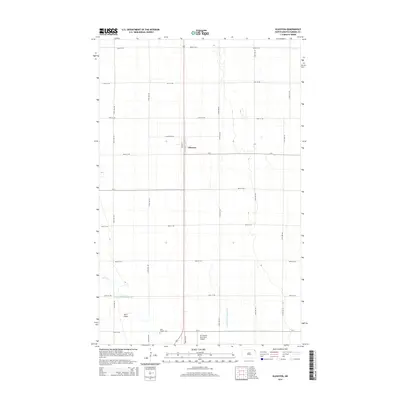
 1971 Glasston1973 Print · USGSPembina County agriculture and infrastructure are captured here in the early 1970s. Researchers can trace the Burlington Northern rail line through Glasston or locate the St Thomas Cem and the St Thomas Municipal Airfield.
 - 1972 Map of Saint Thomas, 1974 Print
 1972 Saint Thomas1974 Print · USGSThe agricultural heart of Pembina and Walsh counties is captured here in the early 1970s. Researchers can trace the railroad-oriented growth of St Thomas and Auburn alongside local landmarks like St Johns Cem and the St Thomas Municipal Airfield.2 unique versions available
 - 1985 Map of Cavalier
 1985 Cavalier1985 Print · USGSThe Red River Valley and the international border meet in this mid-1980s look at the drainage and rail networks of Northeast North Dakota. Trace the paths of the Burlington Northern and Soo Line through border towns like Neche, Pembina, and Noyes.2 unique versions available
 - 2011 Map of Saint Thomas, 2011 Print
 2011 Saint Thomas2011 Print · USGSCovers St. Thomas, including Saint Thomas, Auburn, and other nearby areas
 - 2011 Map of Glasston, 2011 Print
 2011 Glasston2011 Print · USGSCovers St. Thomas, including Glasston, Pembina County, and other nearby areas
 - 2014 Map of Saint Thomas, 2014 Print
 2014 Saint Thomas2014 Print · USGSCovers St. Thomas, including Saint Thomas, Auburn, and other nearby areas
 - 2014 Map of Glasston, 2014 Print
 2014 Glasston2014 Print · USGSCovers St. Thomas, including Glasston, Pembina County, and other nearby areas
 - 2017 Map of Glasston, 2017 Print
 2017 Glasston2017 Print · USGSCovers St. Thomas, including Glasston, Pembina County, and other nearby areas
 - 2017 Map of Saint Thomas, 2017 Print
 2017 Saint Thomas2017 Print · USGSCovers St. Thomas, including Saint Thomas, Auburn, and other nearby areas
 - 2020 Map of Glasston, 2020 Print
 2020 Glasston2020 Print · USGSCovers St. Thomas, including Glasston, Pembina County, and other nearby areas
 - 2020 Map of Saint Thomas, 2020 Print
 2020 Saint Thomas2020 Print · USGSCovers St. Thomas, including Saint Thomas, Auburn, and other nearby areas
 - 2024 Map of Saint Thomas, 2024 Print
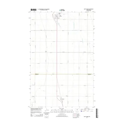
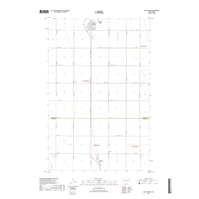
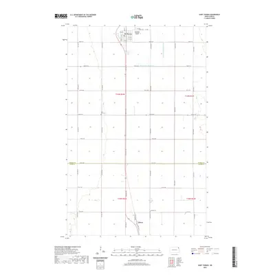
 2024 Saint Thomas2024 Print · USGSPembina and Walsh counties are depicted in this 2024 survey, capturing the agricultural heart of the Red River Valley. Genealogists can trace local heritage through the Saint Thomas City Cem, Saint Johns Cem, and the rural community of Auburn.
 - 2024 Map of Glasston, 2024 Print
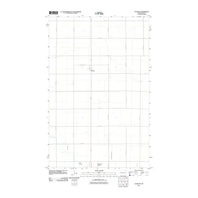
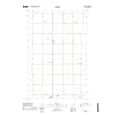
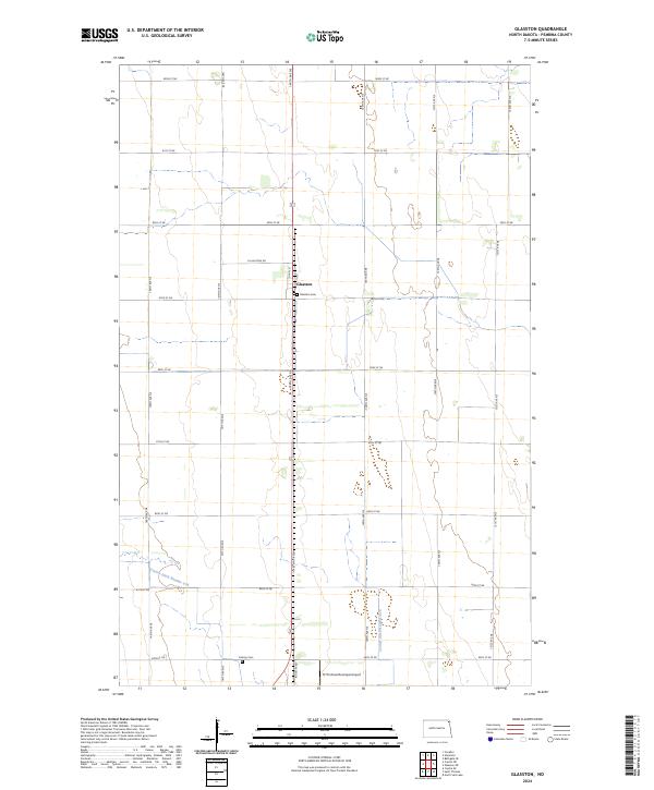 2024 Glasston2024 Print · USGSPembina County agricultural lands are captured here in the early twenty-first century, centered on the crossroads of Glasston. Researchers can trace local heritage at Glasston Cem and Calvary Cem or follow the path of County Ditch Number 67A across the prairie.
End of results
Showing maps 1-19 of 19
Top cities near St. Thomas
- Grafton historical maps
- Cavalier historical maps
- Hoople historical maps
- Oakwood historical maps
- Crystal historical maps
- Joliette historical maps
See more
Top neighborhoods of St. Thomas
Frequently asked questions
- What are the different types of historical maps available for St. Thomas?
- What is the oldest map of St. Thomas?
- Where can I purchase historical maps of St. Thomas for my home or office?
- Where can I download high-res historical maps of St. Thomas?
- Are there historical topographic maps available for St. Thomas?
- Is there historical aerial imagery available for St. Thomas?
- Where are historical maps of St. Thomas sourced from?