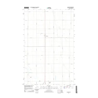
2014 Map of Glasston
USGS Topo · Published 2014About this map
The settlement of Glasston anchors this Pembina County landscape, characterized by the precise grid of the Red River Valley. This agricultural expanse is defined by extensive water management systems, notably County Ditch Number 67A and County Ditch Number 67D, which channel the low-relief terrain alongside Willow Cr. Evidence of the region’s reliance on local aviation for agricultural and civil transport is clear with both St Thomas Municipal Airport and Don's Airport situated nearby. Genealogy researchers will find the location of Saint Thomas Cem at the southern edge of the survey area, providing a primary point of reference for historical burial sites in this part of North Dakota. The transport network is dominated by a strict sectional road system, including N Glasston Rd and Industry Rd, reflecting the highly organized land use typical of the Northern Plains.
Find a feature on this map
28 named features on this map. Tap any name to fly to it.
Don’t see what you’re looking for? This feature index may not catch every label — zoom into the map to look around manually.
Map Details
Editions of this 2014 Glasston Map
This is the sole edition of this map. No revisions or reprints were ever made.
Other maps of this area
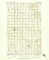
1939 · Glasston
USGS Topo · 1:62,500
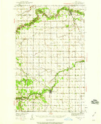
1939 · Cavalier
USGS Topo · 1:62,500
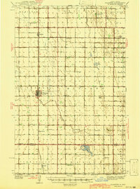
1941 · Glasston
USGS Topo · 1:62,500
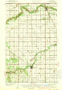
1941 · Cavalier
USGS Topo · 1:62,500
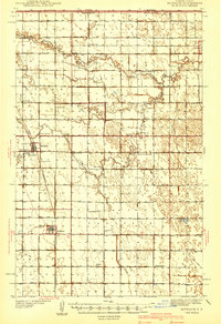
1941 · Bathgate
USGS Topo · 1:62,500
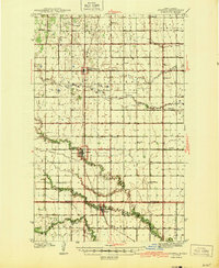
1944 · Crystal
USGS Topo · 1:62,500
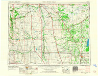
1952 · Thief River Falls
USGS Topo · 1:250,000
1956 · Thief River Falls
USGS Topo · 1:250,000
1957 · Thief River Falls
USGS Topo · 1:250,000
1963 · Crystal SE
USGS Topo · 1:24,000