2000s (21st Century) Maps of Westfield Township, North Dakota
Explore 20 historic maps of Westfield Township from the 2000s (21st Century). These maps offer a rare glimpse into what life looked like during the 2000s — showing old roads, neighborhoods, homes, and landmarks that have changed or disappeared over time.
Whether you're researching your family's past, planning a metal detecting trip, or studying how Westfield Township's landscape evolved across the 2000s, these high-resolution maps are a powerful tool for exploring the history of this region.
- Focus on a specific era: All maps on this page are from the 2000s, giving you a focused view of this time period.
- See what’s changed: Compare century-old streets, trails, and buildings to today's modern landscape using overlays and satellite layers.
- Research with precision: Use these maps for genealogy, historical research, land use analysis, or educational projects.
- View, download, or print: Maps are fully viewable online in high resolution, and can be downloaded or printed for your own records.
Start exploring Westfield Township's history through authentic maps from the 2000s. This is your window into the past.
Westfield Township, ND maps
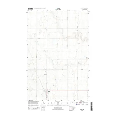
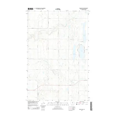
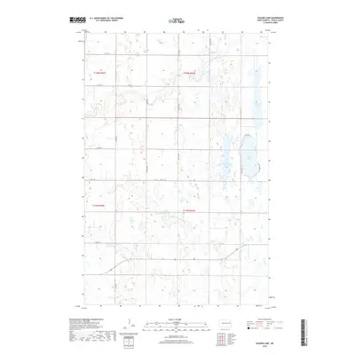
(20)- 2011 Map of Golden Lake, 2011 Print
 2011 Golden Lake2011 Print · USGSCovers Westfield Township, including Golden Lake Township, Beaver Creek Township, and other nearby areas
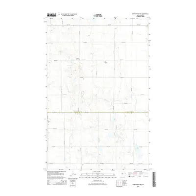
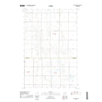
 - 2011 Map of Northwood NW, 2011 Print
 2011 Northwood NW2011 Print · USGSCovers Westfield Township, including Beaver Creek Township, Grand Forks County, and other nearby areas
 - 2011 Map of Finley, 2011 Print
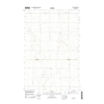
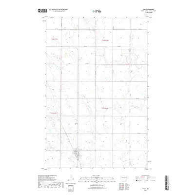
 2011 Finley2011 Print · USGSCovers Westfield Township, including Finley, Sharon Township, and other nearby areas
 - 2011 Map of Finley NE, 2011 Print
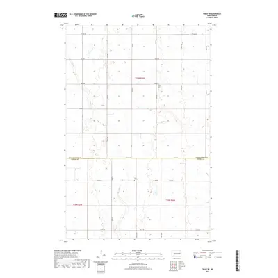
 2011 Finley NE2011 Print · USGSCovers Westfield Township, including Sharon Township, Grand Forks County, and other nearby areas
 - 2014 Map of Finley, 2014 Print
 2014 Finley2014 Print · USGSCovers Westfield Township, including Finley, Sharon Township, and other nearby areas
 - 2014 Map of Northwood NW, 2014 Print
 2014 Northwood NW2014 Print · USGSCovers Westfield Township, including Beaver Creek Township, Grand Forks County, and other nearby areas
 - 2014 Map of Golden Lake, 2014 Print
 2014 Golden Lake2014 Print · USGSCovers Westfield Township, including Golden Lake Township, Beaver Creek Township, and other nearby areas
 - 2014 Map of Finley NE, 2014 Print
 2014 Finley NE2014 Print · USGSCovers Westfield Township, including Sharon Township, Grand Forks County, and other nearby areas
 - 2017 Map of Finley, 2017 Print
 2017 Finley2017 Print · USGSCovers Westfield Township, including Finley, Sharon Township, and other nearby areas
 - 2017 Map of Finley NE, 2017 Print
 2017 Finley NE2017 Print · USGSCovers Westfield Township, including Sharon Township, Grand Forks County, and other nearby areas
 - 2018 Map of Northwood NW, 2018 Print
 2018 Northwood NW2018 Print · USGSCovers Westfield Township, including Beaver Creek Township, Grand Forks County, and other nearby areas
 - 2018 Map of Golden Lake, 2018 Print
 2018 Golden Lake2018 Print · USGSCovers Westfield Township, including Golden Lake Township, Beaver Creek Township, and other nearby areas
 - 2020 Map of Finley, 2020 Print
 2020 Finley2020 Print · USGSCovers Westfield Township, including Finley, Sharon Township, and other nearby areas
 - 2020 Map of Finley NE, 2020 Print
 2020 Finley NE2020 Print · USGSCovers Westfield Township, including Sharon Township, Grand Forks County, and other nearby areas
 - 2020 Map of Golden Lake, 2020 Print
 2020 Golden Lake2020 Print · USGSCovers Westfield Township, including Golden Lake Township, Beaver Creek Township, and other nearby areas
 - 2020 Map of Northwood NW, 2020 Print
 2020 Northwood NW2020 Print · USGSCovers Westfield Township, including Beaver Creek Township, Grand Forks County, and other nearby areas
 - 2024 Map of Finley NE, 2024 Print
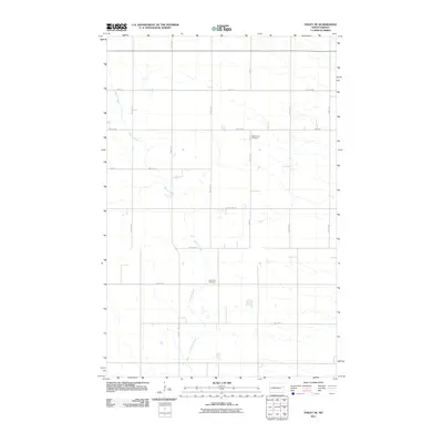
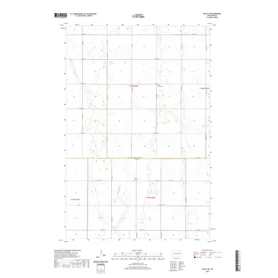
 2024 Finley NE2024 Print · USGSThe rural border of Grand Forks and Steele Counties is captured here in the early twenty-first century, showing a landscape defined by industrial agriculture and section-line roads. Genealogists can locate family burial sites at West Union Cem, Silent Hill Cem, and Hoff Cem along the winding path of Beaver Creek.
 - 2024 Map of Finley, 2024 Print
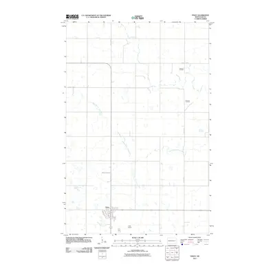
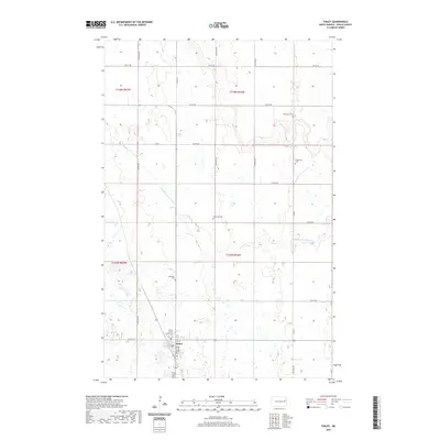
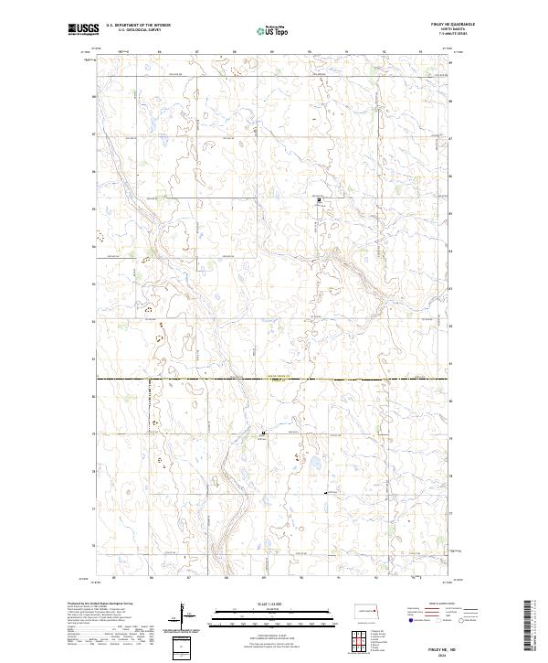
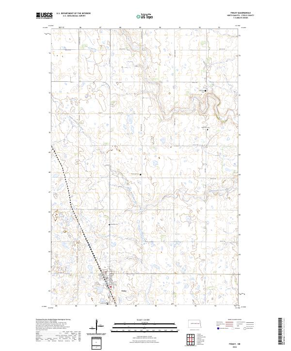 2024 Finley2024 Print · USGSFinley and the surrounding Steele County prairie are shown here in modern detail, centered on the county seat and its river valleys. Genealogists can locate several rural burial sites like Ebenezer Cem and Gilbertson Cem near the Middle Branch Goose River.
 - 2024 Map of Northwood NW, 2024 Print
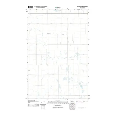
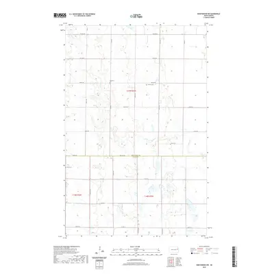
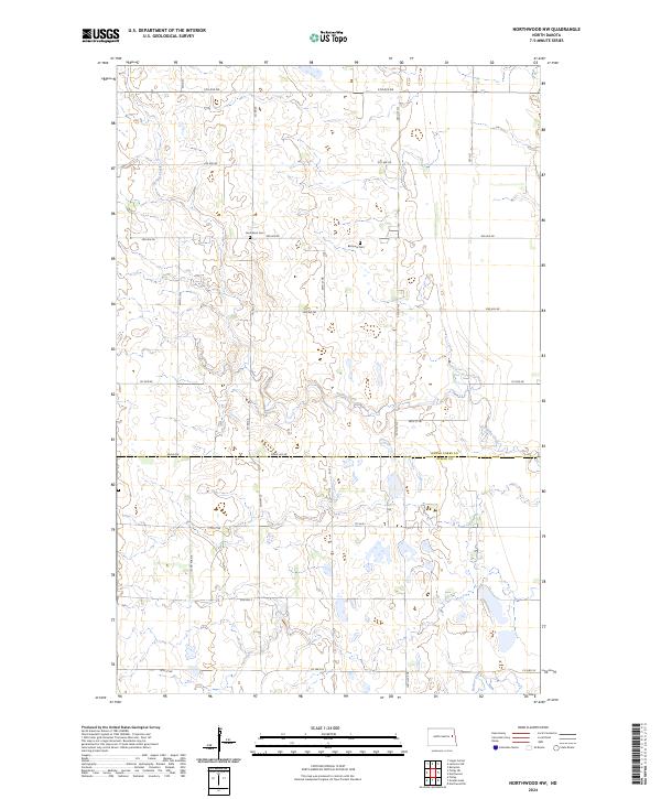 2024 Northwood NW2024 Print · USGSThe rural border of Grand Forks and Steele counties is mapped here in the early twenty-first century, showing a landscape defined by industrial agriculture. Genealogists can locate family landmarks like Herlickson Cem and Bethania Cem near the banks of Spring Creek.
 - 2024 Map of Golden Lake, 2024 Print
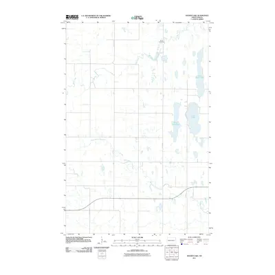
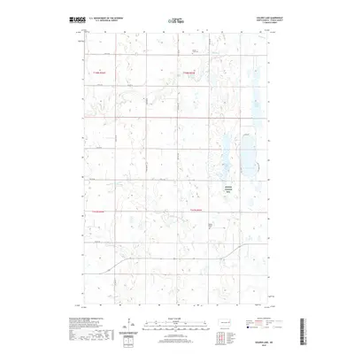
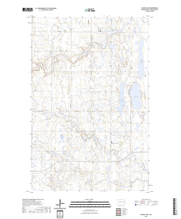 2024 Golden Lake2024 Print · USGSSteele County's prairie wetlands and rural townships are captured in this modern survey of the North Dakota plains. Genealogists and local historians can locate the Beaver Creek Cem and Bethany Lutheran Cem among the waters of Golden Lake and the Middle Branch Goose River.
End of results
Showing maps 1-20 of 20
Top cities near Westfield Township
- Northwood historical maps
- Finley historical maps
- Aneta historical maps
- Sharon historical maps
- Sherbrooke Township historical maps
- Logan Center historical maps
Frequently asked questions
- What are the different types of historical maps available for Westfield Township?
- What is the oldest map of Westfield Township?
- Where can I purchase historical maps of Westfield Township for my home or office?
- Where can I download high-res historical maps of Westfield Township?
- Are there historical topographic maps available for Westfield Township?
- Is there historical aerial imagery available for Westfield Township?
- Where are historical maps of Westfield Township sourced from?