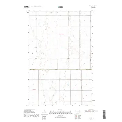
2017 Map of Finley NE
USGS Topo · Published 2017About this map
The prairie landscape of the Grand Forks and Steele County border is defined by a rhythmic grid of rural routes and the wandering path of Beaver Creek. This agricultural region preserves essential local history at West Union Cemetery in the north and Silent Hill Cemetery further south, serving as quiet landmarks amidst the sections. The transportation network is anchored by County Road 16 and County Highway 16, which provide the primary north-south conduits through Township 149 North Range 56 West and Township 148 North Range 56 West. The map illustrates a contemporary pattern of land use where section lines like Eagle Avenue NE and 3rd Avenue NE create the skeletal structure for the farms and homesteads of this North Dakota borderland.
Find a feature on this map
28 named features on this map. Tap any name to fly to it.
Don’t see what you’re looking for? This feature index may not catch every label — zoom into the map to look around manually.
Map Details
Editions of this 2017 Finley NE Map
This is the sole edition of this map. No revisions or reprints were ever made.
Other maps of this area

1936 · Larimore
USGS Topo · 1:62,500

1939 · Niagara
USGS Topo · 1:62,500

1952 · Grand Forks
USGS Topo · 1:250,000

1956 · Grand Forks
USGS Topo · 1:250,000

1963 · Niagara SW
USGS Topo · 1:24,000

1963 · Larimore SW
USGS Topo · 1:24,000

1963 · Logan Center
USGS Topo · 1:24,000

1966 · Grand Forks
USGS Topo · 1:250,000

1967 · Finley NE
USGS Topo · 1:24,000

1967 · Finley
USGS Topo · 1:24,000