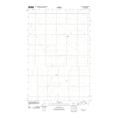
2011 Map of Finley NE
USGS Topo · Published 2011About this map
Beaver Creek meanders through this agricultural section of Steele County, defining much of the local drainage pattern and topography. The landscape is structured by a strictly rectangular grid of rural roads, including County Hwy 24 and County Hwy 16, which provide access to the surrounding farmsteads. For those exploring local genealogy, the map identifies two significant sites: West Union Cemetery in the northern reach and Silent Hill Cemetery further south near Eagle Ave. This 2011 survey illustrates the enduring rural character of North Dakota's eastern plains, where development remains sparse and tied closely to the land and its original survey lines.
Find a feature on this map
21 named features on this map. Tap any name to fly to it.
Don’t see what you’re looking for? This feature index may not catch every label — zoom into the map to look around manually.
Map Details
Editions of this 2011 Finley NE Map
This is the sole edition of this map. No revisions or reprints were ever made.
Other maps of this area

1936 · Larimore
USGS Topo · 1:62,500

1939 · Niagara
USGS Topo · 1:62,500

1952 · Grand Forks
USGS Topo · 1:250,000

1956 · Grand Forks
USGS Topo · 1:250,000

1963 · Niagara SW
USGS Topo · 1:24,000

1963 · Larimore SW
USGS Topo · 1:24,000

1963 · Logan Center
USGS Topo · 1:24,000

1966 · Grand Forks
USGS Topo · 1:250,000

1967 · Finley NE
USGS Topo · 1:24,000

1967 · Finley
USGS Topo · 1:24,000