Old Maps of Westfield Township, North Dakota for Genealogy
Trace your family roots with 28 historic maps of Westfield Township. These high-res maps reveal old neighborhoods, homesites, landmarks, and streets — helping you uncover where your ancestors lived and how the area evolved over time.
- Explore historic neighborhoods: Identify where your relatives may have lived in the 1800s or 1900s.
- Compare maps over time: Trace the changes in streets, buildings, and landmarks for multi-generational research.
- Perfect for genealogy & ancestry research: Used by family historians and researchers to map out lineage and migration.
These maps are an incredible resource for exploring your personal connection to Westfield Township's past.
Westfield Township, ND maps
(28)- 1952 Map of Grand Forks, 1967 Print
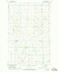
 1952 Grand Forks1967 Print · USGSThe Red River Valley in the early fifties is shown here at the height of its rail-and-river agricultural economy. Researchers can locate small-town landmarks like the Pleasant View School, the Immanuel Lutheran Church, and trace the path of the Soo Line Railroad.3 unique versions available
 - 1956 Map of Grand Forks
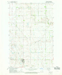
 1956 Grand Forks1956 Print · USGSThe Red River Valley in the mid-fifties is captured here as a thriving corridor of grain elevators and rail-linked towns along the North Dakota and Minnesota border. Researchers can trace historic church sites like Immanuel Lutheran Church, vanished rail stops at Tilde Junction, and the boundaries of the White Earth Indian Reservation.
 - 1966 Map of Grand Forks
 1966 Grand Forks1966 Print · USGSThe Red River Valley in the mid-sixties shows a landscape shaped by rail-line commerce and complex water management. Genealogists and historians can trace rail-side towns like Emerado and Hunter or locate rural landmarks like the Pleasant View Church.
 - 1967 Map of Finley NE, 1969 Print
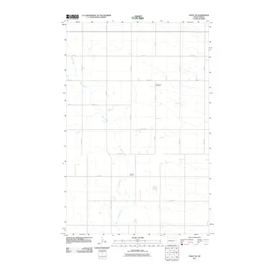
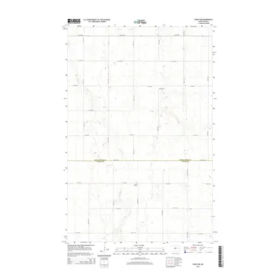
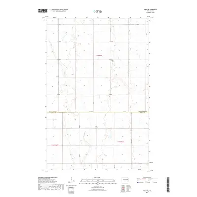
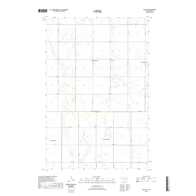
 1967 Finley NE1969 Print · USGSThe rural border of Grand Forks and Steele counties is documented here in the mid-1960s, showing a settled landscape of townships and family farms. Genealogists and local researchers can locate community centers like West Union Ch, Hoff Ch, and the Silent Hill Cem.
 - 1967 Map of Finley, 1969 Print
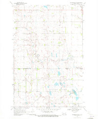
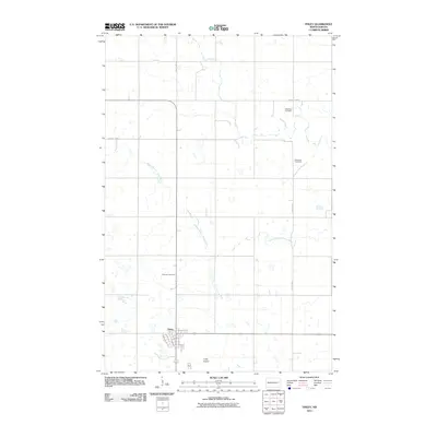
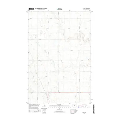
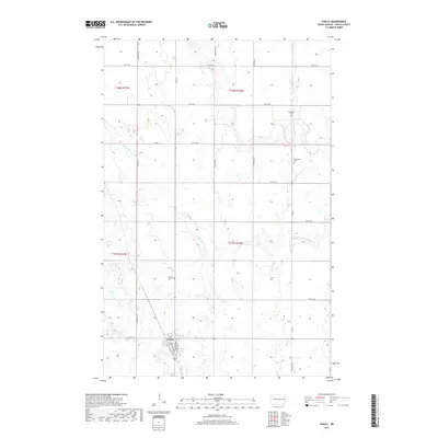
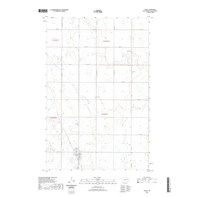
 1967 Finley1969 Print · USGSThe Steele County prairie in the late sixties reveals a landscape of railroad-dependent commerce and scattered homesteads. Genealogists can trace family roots through several rural burial grounds like Ebenezer Cem and Gilbertson Cem, or locate landmarks like Ostervold Ch.
 - 1970 Map of Northwood NW, 1972 Print
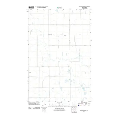
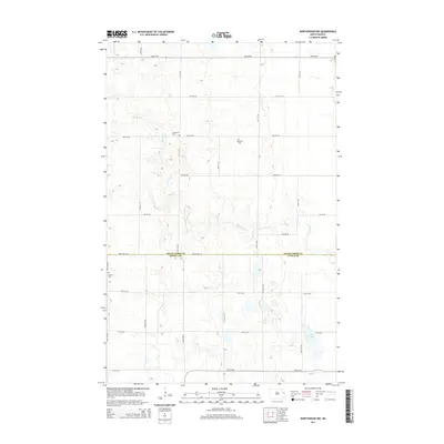
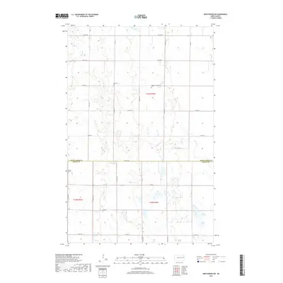
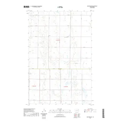
 1970 Northwood NW1972 Print · USGSThe Grand Forks and Steele county line is defined by quiet prairie drainages and social centers like Bethania Ch in the early seventies. Genealogists can trace family roots through the Herickson Cem, Hanson Cem, and community Townhall locations.
 - 1970 Map of Golden Lake, 1972 Print
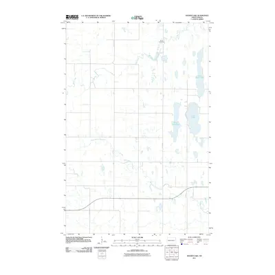
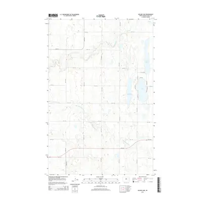
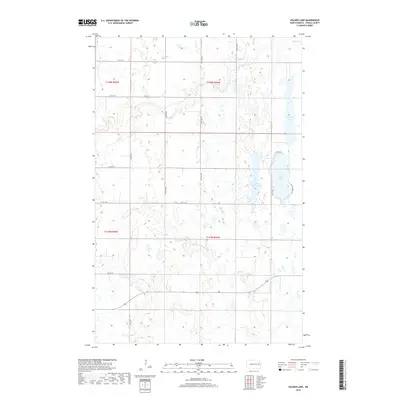
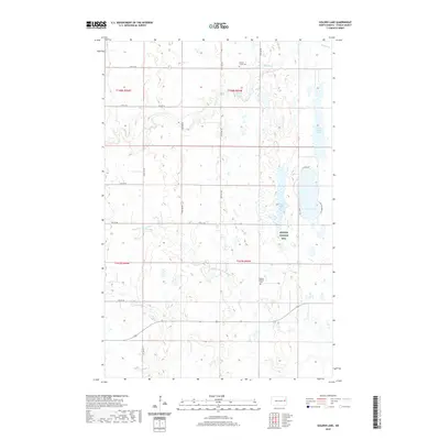
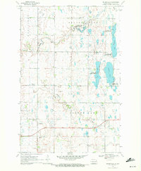 1970 Golden Lake1972 Print · USGSSteele County, North Dakota, is captured here in the early 1970s as a landscape of prairie potholes and winding creeks. Genealogists and local historians can locate family landmarks such as Beaver Creek Church, Bethany Church, and a rural Cemetery.
 - 1985 Map of Grand Forks
 1985 Grand Forks1985 Print · USGSThe Red River Valley in the mid-1980s was a landscape of deep-rooted agriculture and rising military significance. Genealogists and researchers can trace the rail-tied development of towns like Larimore and Northwood alongside major landmarks like Grand Forks Air Force Base and Turtle River State Park.2 unique versions available
 - 2011 Map of Golden Lake, 2011 Print
 2011 Golden Lake2011 Print · USGSCovers Westfield Township, including Golden Lake Township, Beaver Creek Township, and other nearby areas
 - 2011 Map of Northwood NW, 2011 Print
 2011 Northwood NW2011 Print · USGSCovers Westfield Township, including Beaver Creek Township, Grand Forks County, and other nearby areas
 - 2011 Map of Finley, 2011 Print
 2011 Finley2011 Print · USGSCovers Westfield Township, including Finley, Sharon Township, and other nearby areas
 - 2011 Map of Finley NE, 2011 Print
 2011 Finley NE2011 Print · USGSCovers Westfield Township, including Sharon Township, Grand Forks County, and other nearby areas
 - 2014 Map of Finley, 2014 Print
 2014 Finley2014 Print · USGSCovers Westfield Township, including Finley, Sharon Township, and other nearby areas
 - 2014 Map of Northwood NW, 2014 Print
 2014 Northwood NW2014 Print · USGSCovers Westfield Township, including Beaver Creek Township, Grand Forks County, and other nearby areas
 - 2014 Map of Golden Lake, 2014 Print
 2014 Golden Lake2014 Print · USGSCovers Westfield Township, including Golden Lake Township, Beaver Creek Township, and other nearby areas
 - 2014 Map of Finley NE, 2014 Print
 2014 Finley NE2014 Print · USGSCovers Westfield Township, including Sharon Township, Grand Forks County, and other nearby areas
 - 2017 Map of Finley, 2017 Print
 2017 Finley2017 Print · USGSCovers Westfield Township, including Finley, Sharon Township, and other nearby areas
 - 2017 Map of Finley NE, 2017 Print
 2017 Finley NE2017 Print · USGSCovers Westfield Township, including Sharon Township, Grand Forks County, and other nearby areas
 - 2018 Map of Northwood NW, 2018 Print
 2018 Northwood NW2018 Print · USGSCovers Westfield Township, including Beaver Creek Township, Grand Forks County, and other nearby areas
 - 2018 Map of Golden Lake, 2018 Print
 2018 Golden Lake2018 Print · USGSCovers Westfield Township, including Golden Lake Township, Beaver Creek Township, and other nearby areas
 - 2020 Map of Finley, 2020 Print
 2020 Finley2020 Print · USGSCovers Westfield Township, including Finley, Sharon Township, and other nearby areas
 - 2020 Map of Finley NE, 2020 Print
 2020 Finley NE2020 Print · USGSCovers Westfield Township, including Sharon Township, Grand Forks County, and other nearby areas
 - 2020 Map of Golden Lake, 2020 Print
 2020 Golden Lake2020 Print · USGSCovers Westfield Township, including Golden Lake Township, Beaver Creek Township, and other nearby areas
 - 2020 Map of Northwood NW, 2020 Print
 2020 Northwood NW2020 Print · USGSCovers Westfield Township, including Beaver Creek Township, Grand Forks County, and other nearby areas
 - 2024 Map of Finley NE, 2024 Print
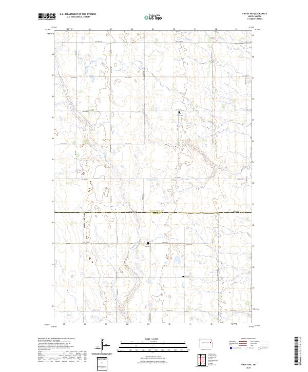 2024 Finley NE2024 Print · USGSThe rural border of Grand Forks and Steele Counties is captured here in the early twenty-first century, showing a landscape defined by industrial agriculture and section-line roads. Genealogists can locate family burial sites at West Union Cem, Silent Hill Cem, and Hoff Cem along the winding path of Beaver Creek.
Showing maps 1-25 of 28
Top cities near Westfield Township
- Northwood historical maps
- Finley historical maps
- Aneta historical maps
- Sharon historical maps
- Sherbrooke Township historical maps
- Logan Center historical maps
Frequently asked questions
- What are the different types of historical maps available for Westfield Township?
- What is the oldest map of Westfield Township?
- Where can I purchase historical maps of Westfield Township for my home or office?
- Where can I download high-res historical maps of Westfield Township?
- Are there historical topographic maps available for Westfield Township?
- Is there historical aerial imagery available for Westfield Township?
- Where are historical maps of Westfield Township sourced from?