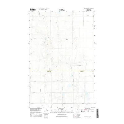
2014 Map of Northwood NW
USGS Topo · Published 2014About this map
Spring Cr meanders across the rural landscape of the Grand Forks and Steele County line, defining a region of agricultural plots and small prairie wetlands. This 2014 survey captures a quiet interior of North Dakota where family and congregational history is anchored by several rural burial grounds, including Bethania Cem, Hertlickson Cem, and Hanson Cem. The southern portion of the quadrangle is marked by Lake Tobiason and the headwaters of Beaver Cr, which drain the low-lying basins common to this part of the Red River Valley hinterland. The landscape is organized by a precise grid of gravel section roads like Eagle Ave NE and Lind Ave NE, reflecting the enduring township-and-range settlement pattern that has dictated the area's geography since the late 19th century.
Find a feature on this map
17 named features on this map. Tap any name to fly to it.
Don’t see what you’re looking for? This feature index may not catch every label — zoom into the map to look around manually.
Map Details
Editions of this 2014 Northwood NW Map
This is the sole edition of this map. No revisions or reprints were ever made.
Other maps of this area

1936 · Larimore
USGS Topo · 1:62,500

1939 · Niagara
USGS Topo · 1:62,500

1952 · Grand Forks
USGS Topo · 1:250,000

1956 · Grand Forks
USGS Topo · 1:250,000

1963 · Kempton
USGS Topo · 1:24,000

1963 · Larimore SW
USGS Topo · 1:24,000

1963 · Logan Center
USGS Topo · 1:24,000

1966 · Grand Forks
USGS Topo · 1:250,000

1967 · Finley NE
USGS Topo · 1:24,000

1967 · Finley
USGS Topo · 1:24,000