
1967 Map of Finley
USGS Topo · Published 1969About this map
Finley stands as the primary hub in this late-1960s survey of Steele County, where the Great Northern railroad cuts a sharp diagonal through the prairie landscape. The area is characterized by a high density of rural cemeteries and localized landmarks that reveal the settlement patterns of the region. Distinctive sites such as Ostervold Ch and Ebenezer Cem are scattered across the townships of Sharon, Westfield, and Finley.
Find a feature on this map
20 named features on this map. Tap any name to fly to it.
Don’t see what you’re looking for? This feature index may not catch every label — zoom into the map to look around manually.
Map Details
Editions of this 1967 Finley Map
This is the sole edition of this map. No revisions or reprints were ever made.
Other maps of this area

1952 · Grand Forks
USGS Topo · 1:250,000

1956 · Grand Forks
USGS Topo · 1:250,000

1966 · Grand Forks
USGS Topo · 1:250,000

1967 · Finley NE
USGS Topo · 1:24,000

1967 · Blabon
USGS Topo · 1:24,000
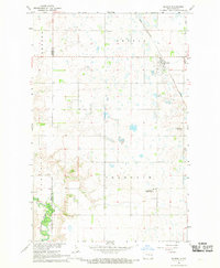
1967 · Sharon
USGS Topo · 1:24,000
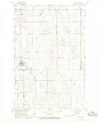
1967 · Aneta
USGS Topo · 1:24,000
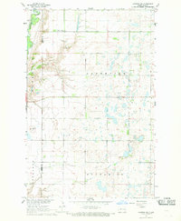
1967 · Luverne NW
USGS Topo · 1:24,000

1968 · Sherbrooke
USGS Topo · 1:24,000
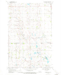
1970 · Northwood NW
USGS Topo · 1:24,000