Old Maps of Park River, North Dakota for Metal Detecting
Plan your next treasure hunt with 23 historic maps of Park River. Find old homesites, ghost towns, trails, and gathering spots that may be lost to time — perfect for identifying promising metal detecting locations.
- Locate forgotten sites: Uncover places like long-lost settlements, abandoned rail lines, or gathering spots.
- Plan better hunts: Use map overlays combined with LiDAR or satellite views to narrow in on historically rich areas.
- Made for detectorists: Thousands of hobbyists use these maps to discover relics, coins, and hidden history.
Use these historic maps to boost your research and find new opportunities beneath the surface of Park River.
Park River, ND maps
(23)- 1952 Map of Thief River Falls, 1967 Print
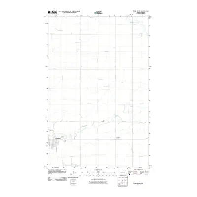
 1952 Thief River Falls1967 Print · USGSThe Red River Valley's agricultural and conservation landscape is captured in the mid-1950s, detailing a web of rail lines and international border crossings. Researchers can trace family roots in towns like Thief River Falls, locate the State School for Blind, and survey landmarks like the Agassiz National Wildlife Refuge.2 unique versions available
 - 1956 Map of Thief River Falls
 1956 Thief River Falls1956 Print · USGSThe Red River Valley in the mid-1950s is captured here as a sprawling network of rail corridors and wildlife refuges along the Canadian border. Trace the vanished transport routes of the Dismantled railroad and Abandoned railroad or locate local landmarks like the Herrick Elevator and State School for Blind.
 - 1957 Map of Thief River Falls
 1957 Thief River Falls1957 Print · USGSThe Red River Valley in the mid-fifties is captured here as a thriving network of rail towns and conservation lands. Genealogists and historians can trace family roots through settlements like Grafton, Pembina, and Hallock, or locate landmarks such as the State School for Blind and the Great Northern RR corridor.
 - 1963 Map of Edinburg, 1964 Print
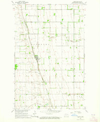
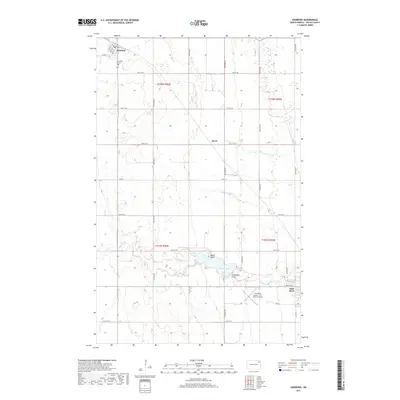
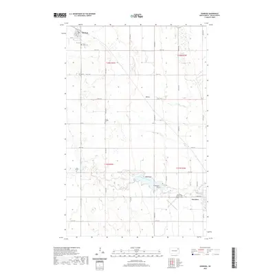
 1963 Edinburg1964 Print · USGSWalsh County's agricultural heartland is documented here in the early sixties, showing the rail-dependent growth of Edinburg and the surrounding townships. Genealogists and local historians can trace rural property lines and find specific sites like Garfield Ch, Calvary Cem, and the Great Northern rail stops.2 unique versions available
 - 1963 Map of Pisek, 1964 Print
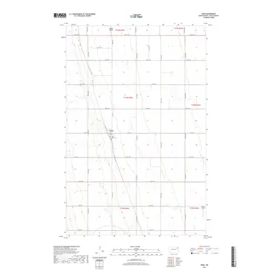
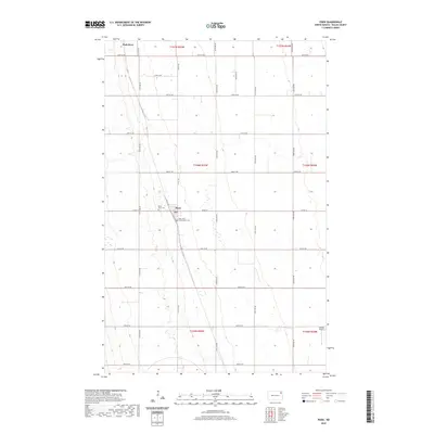
 1963 Pisek1964 Print · USGSWalsh County's agricultural heartland is documented here in the early 1960s, centered on the railroad town of Pisek. Genealogists and historians can trace property lines through the township of Rushford and locate landmarks like St Johns Cem.
 - 1963 Map of Park River, 1964 Print
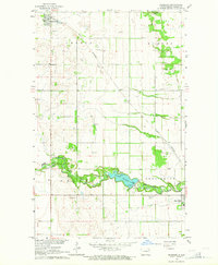
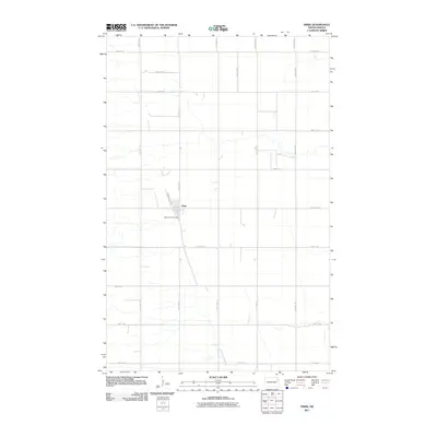
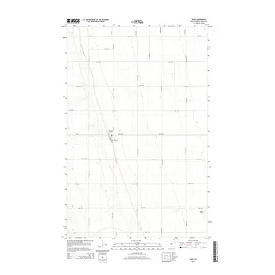
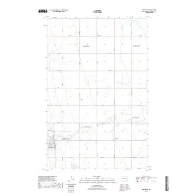
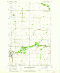 1963 Park River1964 Print · USGSWalsh County during the early 1960s was a landscape defined by the Great Northern rail line and the winding branches of the Park River. Genealogists and local historians can trace the town grid of Park River and find quiet rural landmarks like Calvary Cem and Park Center Ch.
 - 1967 Map of Thief River Falls
 1967 Thief River Falls1967 Print · USGSThe Red River Valley and the international border come alive in the 1960s, showing a landscape shaped by major rail lines and river commerce. Genealogists and historians can trace the paths of the Great Northern and Soo Line through towns like Thief River Falls, Grafton, and Hallock.
 - 1985 Map of Grafton
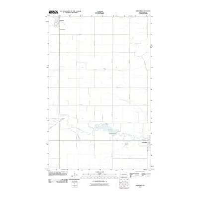
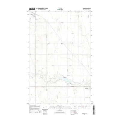
 1985 Grafton1985 Print · USGSThe Red River Valley at the mid-eighties shows a landscape of deep-rooted agriculture and rail-side towns. Genealogists and historians can trace family land near Grafton, Minto, or Lankin, and locate conservation landmarks like the Ardoch National Wildlife Refuge.2 unique versions available
 - 2011 Map of Pisek, 2011 Print
 2011 Pisek2011 Print · USGSCovers Park River, including Pisek, Walsh County, and other nearby areas
 - 2011 Map of Park River, 2011 Print
 2011 Park River2011 Print · USGSCovers Park River, including Walsh County, United States, and other nearby areas
 - 2011 Map of Edinburg, 2011 Print
 2011 Edinburg2011 Print · USGSCovers Park River, including Edinburg, Walsh County, and other nearby areas
 - 2014 Map of Park River, 2014 Print
 2014 Park River2014 Print · USGSCovers Park River, including Walsh County, United States, and other nearby areas
 - 2014 Map of Pisek, 2014 Print
 2014 Pisek2014 Print · USGSCovers Park River, including Pisek, Walsh County, and other nearby areas
 - 2014 Map of Edinburg, 2014 Print
 2014 Edinburg2014 Print · USGSCovers Park River, including Edinburg, Walsh County, and other nearby areas
 - 2017 Map of Pisek, 2017 Print
 2017 Pisek2017 Print · USGSCovers Park River, including Pisek, Walsh County, and other nearby areas
 - 2017 Map of Edinburg, 2017 Print
 2017 Edinburg2017 Print · USGSCovers Park River, including Edinburg, Walsh County, and other nearby areas
 - 2017 Map of Park River, 2017 Print
 2017 Park River2017 Print · USGSCovers Park River, including Walsh County, United States, and other nearby areas
 - 2020 Map of Pisek, 2020 Print
 2020 Pisek2020 Print · USGSCovers Park River, including Pisek, Walsh County, and other nearby areas
 - 2020 Map of Edinburg, 2020 Print
 2020 Edinburg2020 Print · USGSCovers Park River, including Edinburg, Walsh County, and other nearby areas
 - 2020 Map of Park River, 2020 Print
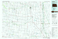
 2020 Park River2020 Print · USGSCovers Park River, including Walsh County, United States, and other nearby areas
 - 2024 Map of Park River, 2024 Print
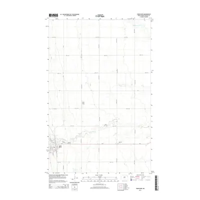
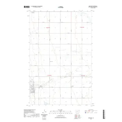
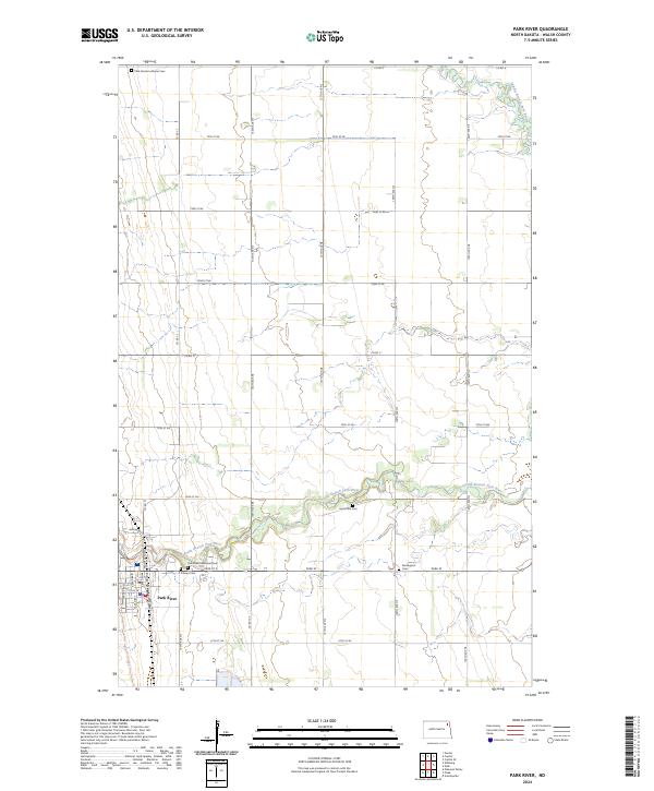 2024 Park River2024 Print · USGSWalsh County's prairie landscape is centered on the riverside town of Park River in this modern survey. Researchers can trace local genealogy through several documented sites like Park Center Lutheran Cem, Hyde Park Cem, and Kensington Cem.
 - 2024 Map of Pisek, 2024 Print
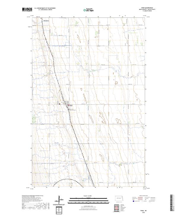 2024 Pisek2024 Print · USGSWalsh County's agricultural heartland is documented here in the mid-2020s, centered on the tight-knit community of Pisek. Genealogists can locate family sites at Pisek ZCBJ Cem and Saint John's Nepomucene Cem near the banks of the Park River.
 - 2024 Map of Edinburg, 2024 Print
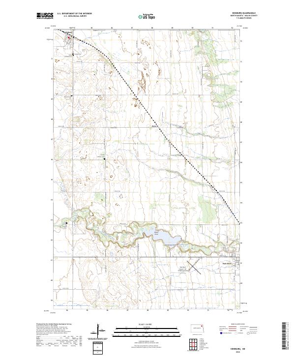 2024 Edinburg2024 Print · USGSThis Walsh County prairie landscape near the Red River Valley shows a network of family-settled farms and small-town hubs in the early twenty-first century. Researchers can trace local lineage through sites like German Lutheran Cem and Old Garfield Cem or locate the rural siding of Kerry.
End of results
Showing maps 1-23 of 23
Top cities near Park River
- Hoople historical maps
- Fordville historical maps
- Edinburg historical maps
- Crystal historical maps
- Lankin historical maps
- Pisek historical maps
See more
Frequently asked questions
- What are the different types of historical maps available for Park River?
- What is the oldest map of Park River?
- Where can I purchase historical maps of Park River for my home or office?
- Where can I download high-res historical maps of Park River?
- Are there historical topographic maps available for Park River?
- Is there historical aerial imagery available for Park River?
- Where are historical maps of Park River sourced from?