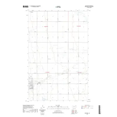
2020 Map of Park River
USGS Topo · Published 2020About this map
Park River serves as the primary hub of this eastern North Dakota landscape, situated at the confluence of several local transport arteries like Co Rd 12 and Park St. The town is characterized by its organized grid, featuring Park River Memorial Park and local landmarks such as Calvary Cem. Beyond the residential center, the geography is defined by the winding paths of the Middle Br Park River and the S Br Park River, which cut through the agricultural plains of Walsh County. Scattered throughout the outlying townships are significant historical touchpoints for genealogists, including Park Center Lutheran Cem, Hyde Park Cem, and Kensington Cem. The presence of the Walser Strip indicates the specific land-use patterns and property divisions common to this region's farming history.
Find a feature on this map
38 named features on this map. Tap any name to fly to it.
Don’t see what you’re looking for? This feature index may not catch every label — zoom into the map to look around manually.
Map Details
Editions of this 2020 Park River Map
This is the sole edition of this map. No revisions or reprints were ever made.
Other maps of this area

1944 · Crystal
USGS Topo · 1:62,500

1952 · Thief River Falls
USGS Topo · 1:250,000

1956 · Thief River Falls
USGS Topo · 1:250,000

1957 · Thief River Falls
USGS Topo · 1:250,000

1963 · Crystal SE
USGS Topo · 1:24,000

1963 · Crystal
USGS Topo · 1:24,000

1963 · Edinburg
USGS Topo · 1:24,000

1963 · Pleasant Valley
USGS Topo · 1:24,000

1963 · Gardar
USGS Topo · 1:24,000

1963 · Pisek
USGS Topo · 1:24,000