
1963 Map of Pleasant Valley
USGS Topo · Published 1964About this map
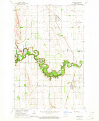
The North Branch Forest River and its tributary branches carve a distinct drainage pattern across this Walsh County landscape, moving through the townships of Vernon and Eden. Surveyed in the early 1960s, the terrain is defined by the high-plateau boundaries of Golden, Kensington, and Medford, where the agricultural grid is punctuated by numerous Gravel Pits and a prominent Radio Tower. The small settlement of Pleasant Valley serves as a local focal point near the northern edge of the map, while the name Rush Ford denotes the historical crossing and drainage area to the east. This map captures the region before the consolidation of many small rural operations, showing the precise placement of section-line roads and the scattered industrial excavations that supported the local infrastructure of the mid-20th century.
Find a feature on this map
10 named features on this map. Tap any name to fly to it.
Don’t see what you’re looking for? This feature index may not catch every label — zoom into the map to look around manually.
Map Details
Editions of this 1963 Pleasant Valley Map
This is the sole edition of this map. No revisions or reprints were ever made.
Other maps of this area

1952 · Thief River Falls
USGS Topo · 1:250,000

1956 · Thief River Falls
USGS Topo · 1:250,000

1957 · Thief River Falls
USGS Topo · 1:250,000

1963 · Edinburg
USGS Topo · 1:24,000

1963 · Pisek
USGS Topo · 1:24,000

1963 · Fordville
USGS Topo · 1:24,000

1963 · Park River
USGS Topo · 1:24,000
1963 · Inkster
USGS Topo · 1:24,000

1967 · Thief River Falls
USGS Topo · 1:250,000
1971 · Dahlen
USGS Topo · 1:24,000