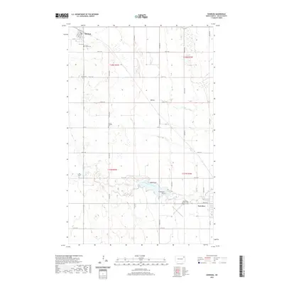
2020 Map of Edinburg
USGS Topo · Published 2020About this map
Edinburg and Park River anchor this Walsh County landscape, situated along a network of section-line roads and the winding path of the South Branch Park River. The area is notably dense with small rural cemeteries, providing a detailed spatial record for genealogical research through sites like Garfield Cem, Old Garfield Cem, and the German Lutheran Cem. These burial grounds, often associated with early settlement clusters like Kerry, reflect the immigrant heritage and historical community centers of the North Dakota plains. The southern portion of the map is defined by the Park River as it feeds into Homme Lake, where local geography is marked by Walsh Point and Grandview Point. Aviation history is also represented at the Park River Airport - W C Skjerven Field, situated just west of the main settlement.
Find a feature on this map
32 named features on this map. Tap any name to fly to it.
Don’t see what you’re looking for? This feature index may not catch every label — zoom into the map to look around manually.
Map Details
Editions of this 2020 Edinburg Map
This is the sole edition of this map. No revisions or reprints were ever made.
Other maps of this area

1944 · Crystal
USGS Topo · 1:62,500

1952 · Thief River Falls
USGS Topo · 1:250,000

1956 · Thief River Falls
USGS Topo · 1:250,000

1957 · Thief River Falls
USGS Topo · 1:250,000

1963 · Crystal
USGS Topo · 1:24,000

1963 · Edinburg
USGS Topo · 1:24,000

1963 · Pleasant Valley
USGS Topo · 1:24,000

1963 · Gardar
USGS Topo · 1:24,000

1963 · Pisek
USGS Topo · 1:24,000

1963 · Park River
USGS Topo · 1:24,000