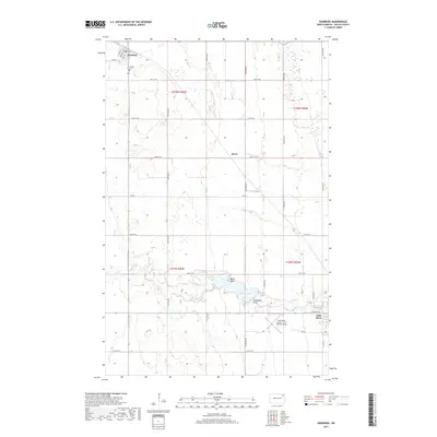
2017 Map of Edinburg
USGS Topo · Published 2017About this map
Edinburg and Park River anchor this Walsh County landscape, situated within a grid of section lines and rural roadways. In the northwest, Edinburg serves as a local hub near Calvary Cem, while the town of Park River occupies the southeastern corner. The hydrologic heart of the area is Homme Lake, a significant reservoir formed along the S Br Park River. Prominent landforms such as Walsh Point and Grandview Point extend into the lake, marking the transition from agricultural fields to the riparian environment. Transportation and aviation are represented by the Park River Airport - W C Skjerven Field, which sits just west of the Park River residential center. The small settlement of Kerry appears along the 72nd Street NE corridor, reflecting the dispersed nature of habitation across the North Dakota prairie.
Find a feature on this map
28 named features on this map. Tap any name to fly to it.
Don’t see what you’re looking for? This feature index may not catch every label — zoom into the map to look around manually.
Map Details
Editions of this 2017 Edinburg Map
This is the sole edition of this map. No revisions or reprints were ever made.
Other maps of this area

1944 · Crystal
USGS Topo · 1:62,500

1952 · Thief River Falls
USGS Topo · 1:250,000

1956 · Thief River Falls
USGS Topo · 1:250,000

1957 · Thief River Falls
USGS Topo · 1:250,000

1963 · Crystal
USGS Topo · 1:24,000

1963 · Edinburg
USGS Topo · 1:24,000

1963 · Pleasant Valley
USGS Topo · 1:24,000

1963 · Gardar
USGS Topo · 1:24,000

1963 · Pisek
USGS Topo · 1:24,000

1963 · Park River
USGS Topo · 1:24,000