Old Maps of Warsaw, North Dakota for Metal Detecting
Plan your next treasure hunt with 12 historic maps of Warsaw. Find old homesites, ghost towns, trails, and gathering spots that may be lost to time — perfect for identifying promising metal detecting locations.
- Locate forgotten sites: Uncover places like long-lost settlements, abandoned rail lines, or gathering spots.
- Plan better hunts: Use map overlays combined with LiDAR or satellite views to narrow in on historically rich areas.
- Made for detectorists: Thousands of hobbyists use these maps to discover relics, coins, and hidden history.
Use these historic maps to boost your research and find new opportunities beneath the surface of Warsaw.
Warsaw, ND maps
(12)- 1943 Map of Grafton
 1943 Grafton1943 Print · USGSWalsh County farming communities are caught in transition during this mid-century period as the rail network still dictated local commerce. Genealogists and historians can trace the exact locations of rural Schools, Cemeteries, and early rail stops like Cashel, Voss, and Herriot.
 - 1952 Map of Thief River Falls, 1967 Print
 1952 Thief River Falls1967 Print · USGSThe Red River Valley's agricultural and conservation landscape is captured in the mid-1950s, detailing a web of rail lines and international border crossings. Researchers can trace family roots in towns like Thief River Falls, locate the State School for Blind, and survey landmarks like the Agassiz National Wildlife Refuge.2 unique versions available
 - 1956 Map of Thief River Falls
 1956 Thief River Falls1956 Print · USGSThe Red River Valley in the mid-1950s is captured here as a sprawling network of rail corridors and wildlife refuges along the Canadian border. Trace the vanished transport routes of the Dismantled railroad and Abandoned railroad or locate local landmarks like the Herrick Elevator and State School for Blind.
 - 1957 Map of Thief River Falls
 1957 Thief River Falls1957 Print · USGSThe Red River Valley in the mid-fifties is captured here as a thriving network of rail towns and conservation lands. Genealogists and historians can trace family roots through settlements like Grafton, Pembina, and Hallock, or locate landmarks such as the State School for Blind and the Great Northern RR corridor.
 - 1967 Map of Thief River Falls
 1967 Thief River Falls1967 Print · USGSThe Red River Valley and the international border come alive in the 1960s, showing a landscape shaped by major rail lines and river commerce. Genealogists and historians can trace the paths of the Great Northern and Soo Line through towns like Thief River Falls, Grafton, and Hallock.
 - 1973 Map of Minto, 1975 Print
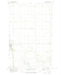 1973 Minto1975 Print · USGSWalsh County farming communities and the Red River Valley prairie are captured here in the mid-1970s. Genealogists can locate family sites near Minto and Warsaw, or trace the winding Forest River down to the Ardoch National Wildlife Refuge.
 - 1985 Map of Grafton
 1985 Grafton1985 Print · USGSThe Red River Valley at the mid-eighties shows a landscape of deep-rooted agriculture and rail-side towns. Genealogists and historians can trace family land near Grafton, Minto, or Lankin, and locate conservation landmarks like the Ardoch National Wildlife Refuge.2 unique versions available
 - 2011 Map of Minto, 2011 Print
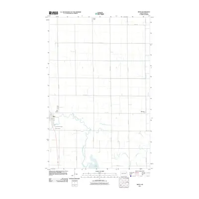 2011 Minto2011 Print · USGSThe Red River Valley's agricultural grid and rural settlements are shown here as they appeared in the early 21st century. Genealogists can locate family landmarks such as Saint Patrick Cemetery and Sacred Heart Cemetery near the communities of Minto and Warsaw.
 - 2014 Map of Minto, 2014 Print
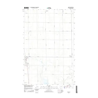 2014 Minto2014 Print · USGSMinto and the surrounding Walsh County prairies are captured in the mid-2010s, centered on the winding path of the Forest River. Genealogists and local historians can trace the community footprint through Saint Patrick Cem, Sacred Heart Cem, and the settlement of Warsaw.
 - 2017 Map of Minto, 2017 Print
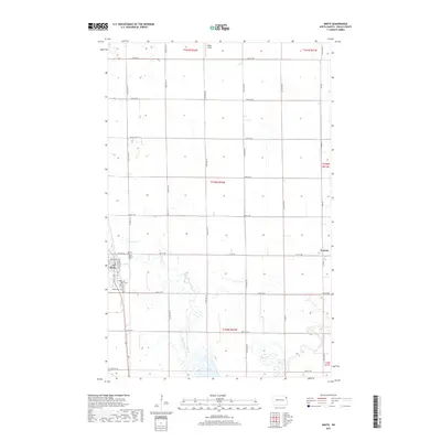 2017 Minto2017 Print · USGSWalsh County's fertile Red River Valley comes into focus in the late 2010s, centered on the historic town of Minto. Genealogists and local historians can trace parish and family roots at Sacred Heart Cem, Warsaw, and along the banks of the Forest River.
 - 2020 Map of Minto, 2020 Print
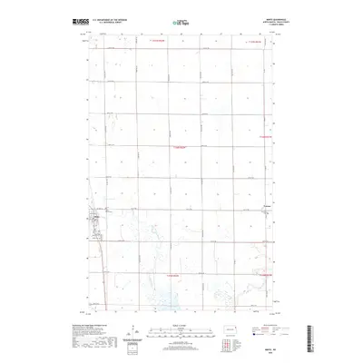 2020 Minto2020 Print · USGSWalsh County's rural heartland is meticulously documented here during the early twenty-first century, showing the enduring grid of the Red River Valley. Researchers can locate family sites and landmarks like Saint Patrick Cem, the waters of Lake Ardoch, and the small community of Warsaw.
 - 2024 Map of Minto, 2024 Print
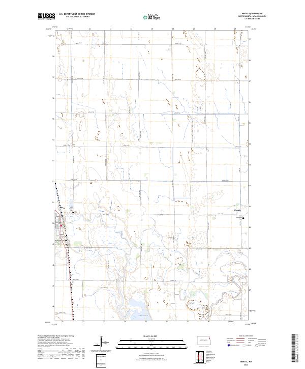 2024 Minto2024 Print · USGSWalsh County's rural landscape is captured here in the contemporary era, showing the intersection of agriculture and conservation. Genealogists can locate several local burial sites, including Saint Patrick Cem and Saint Stanislaus Cem near the river.
End of results
Showing maps 1-12 of 12
Top cities near Warsaw
- Grafton historical maps
- Minto historical maps
- Oslo historical maps
- Manvel historical maps
- Gilby historical maps
- Oakwood historical maps
See more
Frequently asked questions
- What are the different types of historical maps available for Warsaw?
- What is the oldest map of Warsaw?
- Where can I purchase historical maps of Warsaw for my home or office?
- Where can I download high-res historical maps of Warsaw?
- Are there historical topographic maps available for Warsaw?
- Is there historical aerial imagery available for Warsaw?
- Where are historical maps of Warsaw sourced from?