Old Maps of Springbrook, North Dakota for Academic Research
Study the evolution of Springbrook with 16 high-resolution historic maps. Whether you're teaching, researching, or modeling changes in land use, these maps provide essential visual documentation of urban, environmental, and geographic change.
- Analyze long-term change: Track patterns in development, transportation, and natural features.
- Ideal for environmental or urban studies: Support academic projects with primary historical map data.
- Use in the classroom or lab: Educators and researchers rely on these maps to bring historical context to life.
These maps are a powerful tool for teaching, research, and visualizing how Springbrook has changed over the decades.
Springbrook, ND maps
(16)- 1911 Map of Ray
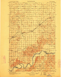 1911 Ray1911 Print · USGSNorthwest North Dakota at the height of the homesteading era reveals a landscape defined by the iron rails and the wide Missouri. Genealogists and researchers can trace the early rail stops like Wheelock and Epping or locate river landmarks such as Nesson Ferry and Banks.2 unique versions available
 - 1953 Map of Williston, 1968 Print
 1953 Williston1968 Print · USGSThe North Dakota high plains meet the waters of Sakakawea Lake in this mid-century survey of the northern borderlands. Trace the rail-and-ranch economy through sites like Anderson Sky Ranch, Sevenmile Corner, and the strip mines near Columbus.2 unique versions available
 - 1957 Map of Williston
 1957 Williston1957 Print · USGSNorthwestern North Dakota is shown here during the mid-fifties, dominated by the sweeping plains and the Missouri River valley. Genealogists and local historians can trace the paths of the Great Northern railroad through Williston, Tioga, and Ray, or locate early industry like the coal strip mines near Lignite.
 - 1978 Map of Spring Brook, 1979 Print
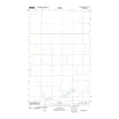
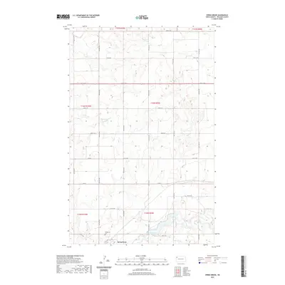
 1978 Spring Brook1979 Print · USGSWilliams County in the late seventies is captured here as a landscape of prairie water systems and rail infrastructure. Researchers can trace the Spring Brook settlement and local landmarks like the Upper Missouri Bible Camp, Epping Dam, and the Cem.
 - 1979 Map of Stockyard Creek
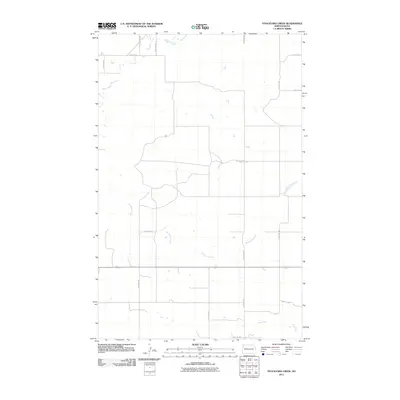
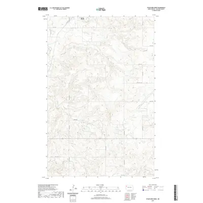
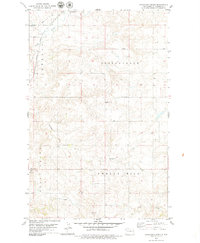 1979 Stockyard Creek1979 Print · USGSWestern North Dakota’s high plains and deep coulees are captured here in the late seventies. Genealogists and local historians can locate the Townhall, trace the Burlington Northern rail line, and map the drainage of Stockyard Creek.
 - 1983 Map of Williston, 1984 Print
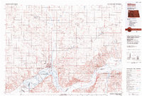 1983 Williston1984 Print · USGSWilliston and the Missouri River basin are captured here in the early eighties as the regional landscape transitioned into a modern energy and agricultural hub. Researchers can trace the Burlington Northern line through prairie towns like Epping and Wheelock, or explore the riparian geography of Lake Sakakawea.
 - 2011 Map of Stockyard Creek, 2011 Print
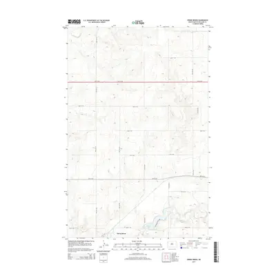
 2011 Stockyard Creek2011 Print · USGSCovers Springbrook, including Williams County, United States, and other nearby areas
 - 2011 Map of Spring Brook, 2011 Print
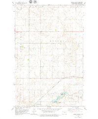
 2011 Spring Brook2011 Print · USGSCovers Springbrook, including Spring Brook, Williams County, and other nearby areas
 - 2014 Map of Spring Brook, 2014 Print
 2014 Spring Brook2014 Print · USGSCovers Springbrook, including Spring Brook, Williams County, and other nearby areas
 - 2014 Map of Stockyard Creek, 2014 Print
 2014 Stockyard Creek2014 Print · USGSCovers Springbrook, including Williams County, United States, and other nearby areas
 - 2017 Map of Stockyard Creek, 2017 Print
 2017 Stockyard Creek2017 Print · USGSCovers Springbrook, including Williams County, United States, and other nearby areas
 - 2017 Map of Spring Brook, 2017 Print
 2017 Spring Brook2017 Print · USGSCovers Springbrook, including Spring Brook, Williams County, and other nearby areas
 - 2020 Map of Stockyard Creek, 2020 Print
 2020 Stockyard Creek2020 Print · USGSCovers Springbrook, including Williams County, United States, and other nearby areas
 - 2020 Map of Spring Brook, 2020 Print
 2020 Spring Brook2020 Print · USGSCovers Springbrook, including Spring Brook, Williams County, and other nearby areas
 - 2024 Map of Stockyard Creek, 2024 Print
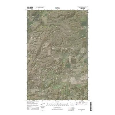
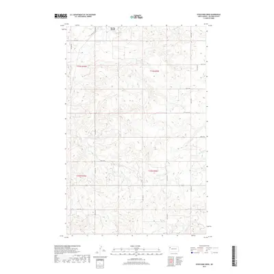
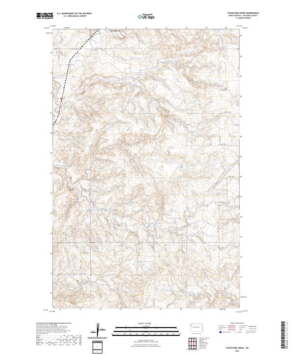 2024 Stockyard Creek2024 Print · USGSWilliams County's high plains come into focus in this contemporary survey of the Missouri Plateau. Researchers can trace the section-line roads and the winding paths of Stockyard Creek and Stony Creek near the rural settlement of Springbrook.
 - 2024 Map of Spring Brook, 2024 Print
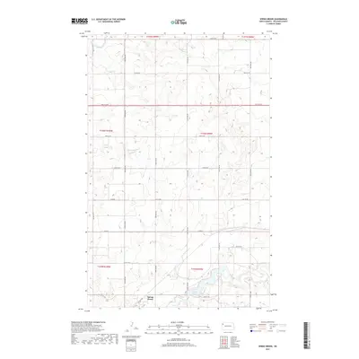
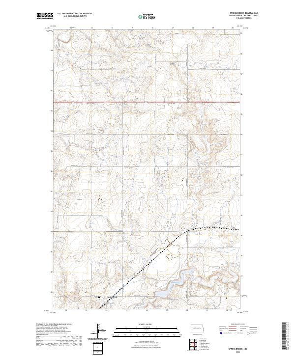 2024 Spring Brook2024 Print · USGSSpringbrook and its surrounding townships are captured in this modern survey of Williams County. Genealogists and local historians can locate Springbrook Cem and trace the drainage of Stony Creek near the reservoir at Epping Dam.
End of results
Showing maps 1-16 of 16
Top cities near Springbrook
Top neighborhoods of Springbrook
Frequently asked questions
- What are the different types of historical maps available for Springbrook?
- What is the oldest map of Springbrook?
- Where can I purchase historical maps of Springbrook for my home or office?
- Where can I download high-res historical maps of Springbrook?
- Are there historical topographic maps available for Springbrook?
- Is there historical aerial imagery available for Springbrook?
- Where are historical maps of Springbrook sourced from?