
1978 Map of Spring Brook
USGS Topo · Published 1979About this map
The Spring Brook settlement serves as a central point in this northern plains landscape, situated near the winding waters of Stony Creek. The area’s infrastructure is defined by the Burlington Northern railroad corridor and a significant east-west Pipeline, reflecting the region’s vital role in transportation and energy. To the south, the Epping Dam creates a reservoir that supports local recreation at the Upper Missouri Bible Camp and various Campground sites.
Find a feature on this map
22 named features on this map. Tap any name to fly to it.
Don’t see what you’re looking for? This feature index may not catch every label — zoom into the map to look around manually.
Map Details
Editions of this 1978 Spring Brook Map
This is the sole edition of this map. No revisions or reprints were ever made.
Other maps of this area

1911 · Ray
USGS Topo · 1:125,000

1953 · Williston
USGS Topo · 1:250,000

1957 · Williston
USGS Topo · 1:250,000

1959 · Marmon SE
USGS Topo · 1:24,000

1959 · Williston East
USGS Topo · 1:24,000

1974 · Twin Lakes
USGS Topo · 1:24,000

1978 · Epping NW
USGS Topo · 1:24,000
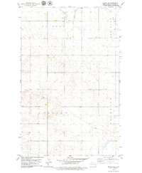
1978 · Epping NE
USGS Topo · 1:24,000

1978 · Epping
USGS Topo · 1:24,000
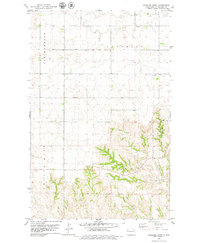
1978 · Gamache Creek
USGS Topo · 1:24,000