2010s Maps of Ashland County, Ohio
Explore 56 historic maps of Ashland County from the 2010s. These maps offer a rare glimpse into what life looked like during the 2010s — showing old roads, neighborhoods, homes, and landmarks that have changed or disappeared over time.
Whether you're researching your family's past, planning a metal detecting trip, or studying how Ashland County's landscape evolved across the 2010s, these high-resolution maps are a powerful tool for exploring the history of this region.
- Focus on a specific era: All maps on this page are from the 2010s, giving you a focused view of this time period.
- See what’s changed: Compare century-old streets, trails, and buildings to today's modern landscape using overlays and satellite layers.
- Research with precision: Use these maps for genealogy, historical research, land use analysis, or educational projects.
- View, download, or print: Maps are fully viewable online in high resolution, and can be downloaded or printed for your own records.
Start exploring Ashland County's history through authentic maps from the 2010s. This is your window into the past.
Ashland County, OH maps
(56)- 2010 Map of Olivesburg, 2010 Print
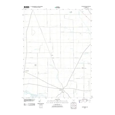 2010 Olivesburg2010 Print · USGSAshland County farmland at the start of the 2010s shows a quiet continuity of rural life and historic crossroads. Researchers can locate family landmarks such as Adario Cemetery, the Reformed Church, and the small settlement of Shenandoah.
 - 2010 Map of Loudonville, 2010 Print
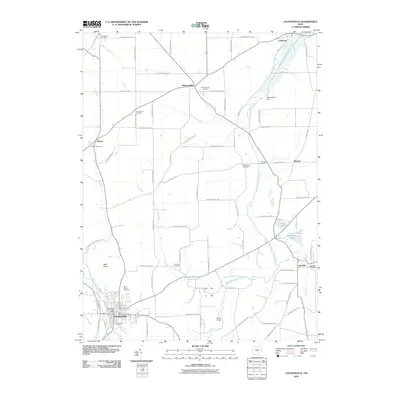 2010 Loudonville2010 Print · USGSLoudonville and the surrounding Mohican River valleys are captured here just over a decade ago. Genealogists can trace family lines through numerous sites like Pioneer Cemetery or Mohicanville, while the Mohicanville Dam anchors the local geography.
 - 2010 Map of Nova, 2010 Print
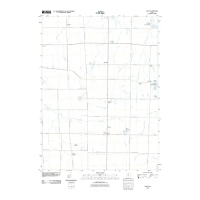 2010 Nova2010 Print · USGSNova and the surrounding townships appear here at the start of the decade, showing a rural landscape anchored by historic crossroads and family cemeteries. Genealogists and researchers can trace local roots through sites like the German Lutheran Cemetery, Bakers Crossing, and Nova Cemetery.
 - 2010 Map of Ashland North, 2010 Print
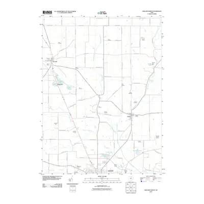 2010 Ashland North2010 Print · USGSNorthern Ashland County remains a landscape of small settlements and family history in the early 2000s. Genealogists and local historians can trace legacy sites like Rickert Cemetery, the Savannah Post Office, and Sprotts Hill.
 - 2010 Map of Jelloway, 2010 Print
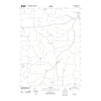 2010 Jelloway2010 Print · USGSAshland County farmland and the Jelloway Creek valley are captured here just after the turn of the millennium. Genealogists can trace family roots through numerous denominational sites like Zion Evangelical Lutheran Cemetery and the crossroads at College Hill.
 - 2010 Map of Jeromesville, 2010 Print
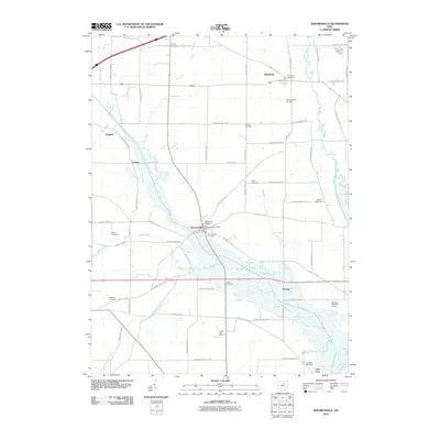 2010 Jeromesville2010 Print · USGSAshland County at the turn of the millennium remains a landscape of quiet township roads and historic rural settlements. Genealogists can trace family names through numerous local burial grounds, including the Old Rowsburg Cemetery and Ackley Cemetery.
 - 2010 Map of Polk, 2010 Print
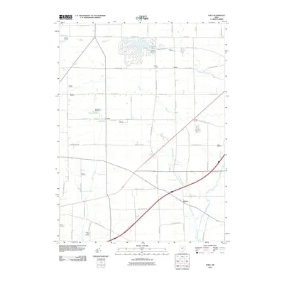 2010 Polk2010 Print · USGSJackson Township at the start of the decade shows a landscape of established farmsteads and the growing lakeside community at Cinnamon Lake. Genealogists can locate family burial sites at Swope Cemetery and Chilcote Cemetery or trace the early paths of Muddy Fork.
 - 2010 Map of Sullivan, 2010 Print
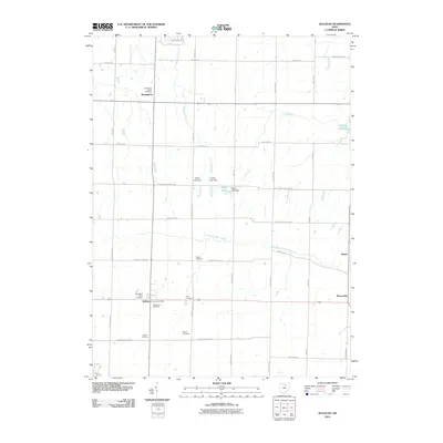 2010 Sullivan2010 Print · USGSSullivan and its surrounding farm country are captured here at the start of the 2010s. Genealogists can trace family names at Rice Cemetery, Southview Cemetery, and Gould Cemetery, or locate the Sullivan Post Office and nearby Taylor Lake.
 - 2010 Map of Ashland South, 2010 Print
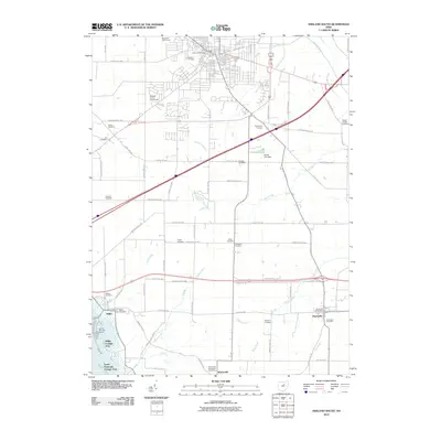 2010 Ashland South2010 Print · USGSAshland and its southern environs were transitioning between agricultural traditions and lakeside recreation by the early 2000s. Genealogists and local historians can trace rural burial sites like Vesper Cemetery or explore the growth of the Mifflin Cottage Area.
 - 2010 Map of Lucas, 2010 Print
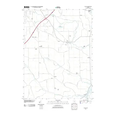 2010 Lucas2010 Print · USGSRichland County at the start of the 2010s reveals a landscape of enduring rural hamlets and deep-rooted family history. Local researchers can trace old homesteads and burial sites from Hastings Cemetery to Caesarea Cemetery, or locate the historic Culler Mill along the Rocky Fork.
 - 2010 Map of New London, 2010 Print
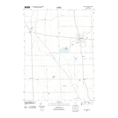 2010 New London2010 Print · USGSNew London and the surrounding Huron County townships are documented here during a period of modern rural stability. Researchers can trace family history through several sites like the Quaker Cemetery, Fitchville, and Ruggles.
 - 2010 Map of Pavonia, 2010 Print
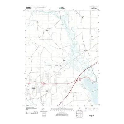 2010 Pavonia2010 Print · USGSThe outskirts of Mansfield and the waters of the Mohican River are captured here in the early twenty-first century. Genealogists and historians can trace numerous family burial sites like Koogle Cemetery and Pittenger Cemetery or locate the Franklin Church.
 - 2010 Map of Perrysville, 2010 Print
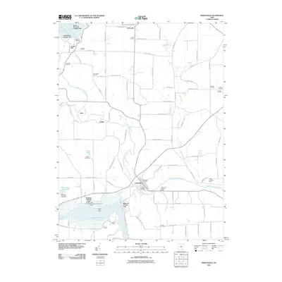 2010 Perrysville2010 Print · USGSThe village of Perrysville and the surrounding Ashland County countryside appear here just as the new millennium's first decade concludes. Researchers can trace numerous family burial grounds including Copus Hill Cemetery and Harlan Cemetery, or explore the development of waterfront neighborhoods like Idlewood Cottage Area.
 - 2010 Map of Greer, 2010 Print
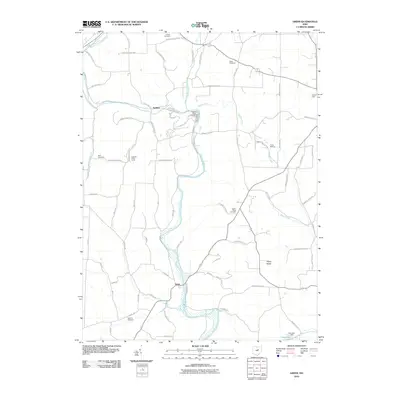 2010 Greer2010 Print · USGSThe river valleys of north-central Ohio are captured here in the early twenty-first century, centered on the confluence of the Mohican forks. Local historians can trace family ties through several rural burial sites like Ullman Cemetery and Kaylor Ridge Cemetery or locate the settlement of Spellacy.
 - 2013 Map of Olivesburg, 2013 Print
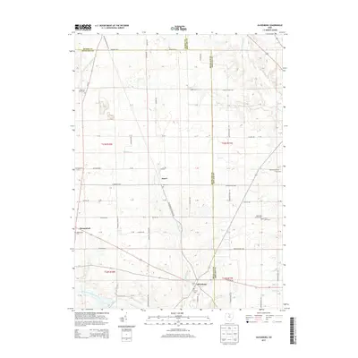 2013 Olivesburg2013 Print · USGSRichland and Ashland counties meet in this rural landscape at the start of the 21st century. Genealogists can trace local roots through numerous historic burial sites like Mt Olivet Cem, Shenandoah Cem, and Brytes Churchyard.
 - 2013 Map of Lucas, 2013 Print
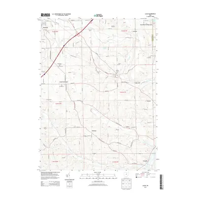 2013 Lucas2013 Print · USGSThe rural landscapes of Richland and Ashland counties are captured here in the early twenty-first century. Genealogists can locate family burial sites at Banks Cem or Hastings Cem, and trace the rural layouts of Lucas, Newville, and Hastings.
 - 2013 Map of Pavonia, 2013 Print
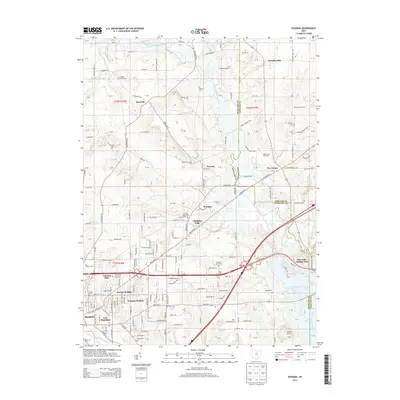 2013 Pavonia2013 Print · USGSThe eastern edges of Mansfield and the winding Black Fork Mohican River are captured here in the early twenty-first century. Genealogists and local historians can trace family-named sites across the rural landscape, from Paradise Hill to the Franklin Church Cem and Charles Mill Lake.
 - 2013 Map of Polk, 2013 Print
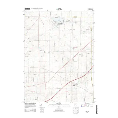 2013 Polk2013 Print · USGSNorth-central Ohio farmland near the borders of Medina and Wayne counties is documented here in the early twenty-first century. Genealogists can trace family holdings and heritage at France Farms or locate several historic burial grounds including Chilcote Cem and Swope Cem.
 - 2013 Map of Nova, 2013 Print
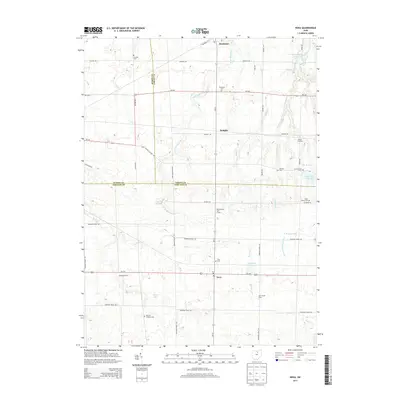 2013 Nova2013 Print · USGSThe borderlands of Ashland, Lorain, and Huron Counties are captured here in the early twenty-first century. Genealogists and local historians can trace legacy properties like Avon Maple Farm and find quiet burial grounds including German Lutheran Cem and Dry Cem.
 - 2013 Map of Jelloway, 2013 Print
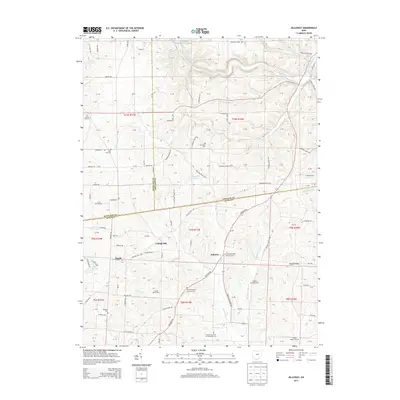 2013 Jelloway2013 Print · USGSThe tri-county border area of Ashland, Richland, and Knox counties comes into focus in this recent survey of North-Central Ohio. Researchers can trace rural family roots at Jelloway Methodist Episcopal Cem, Bunker Hill Cem, and the Ireland Valley Farm.
 - 2013 Map of Ashland North, 2013 Print
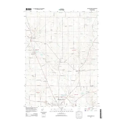 2013 Ashland North2013 Print · USGSThe rural landscape north of Ashland is captured here during the early 2000s, showing a region defined by family farms and small crossroads villages. Genealogists can locate numerous burial grounds like Savannah Cem and Nankin Cem or trace the lands of Ramsay Dairy Farm.
 - 2013 Map of Perrysville, 2013 Print
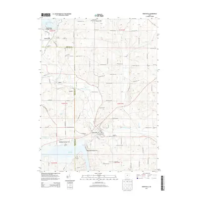 2013 Perrysville2013 Print · USGSThe village of Perrysville and the Ashland-Richland county line are captured here in the early twenty-first century. Researchers can locate numerous local burial sites like Old Presbyterian Cem and Copus Hill Cem near the banks of the Black Fork Mohican River.
 - 2013 Map of Sullivan, 2013 Print
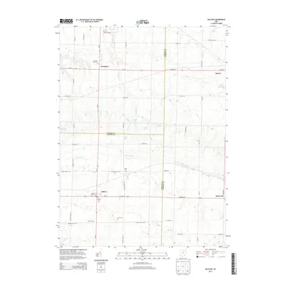 2013 Sullivan2013 Print · USGSNorthern Ashland County and its neighbors are captured here in a moment of rural stability. Researchers can trace family history through a high density of local cemeteries including Marsh Cem, Rice Cem, and Hubler Cem near the village of Sullivan.
 - 2013 Map of Loudonville, 2013 Print
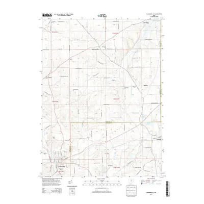 2013 Loudonville2013 Print · USGSLoudonville and its surrounding townships are captured here during a period of modern agricultural and rural stability. Researchers can trace family history through a remarkable number of small burial sites like County Line Cem and Plum Run Cem, or locate landmarks such as Nesta Airport and Bald Knob.
 - 2013 Map of Ashland South, 2013 Print
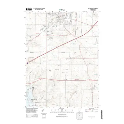 2013 Ashland South2013 Print · USGSThe southern reaches of Ashland County during the early 2010s show a blend of university expansion and lakeside recreation. Researchers can locate numerous family-named burial grounds like Strickland Cem and historic settlements such as Mifflin and Widowville.
Showing maps 1-25 of 56
Top cities of Ashland County
Frequently asked questions
- What are the different types of historical maps available for Ashland County?
- What is the oldest map of Ashland County?
- Where can I purchase historical maps of Ashland County for my home or office?
- Where can I download high-res historical maps of Ashland County?
- Are there historical topographic maps available for Ashland County?
- Is there historical aerial imagery available for Ashland County?
- Where are historical maps of Ashland County sourced from?