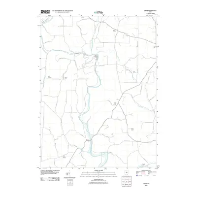
2010 Map of Greer
USGS Topo · Published 2010About this map
The Mohican River and its major tributaries, the Black Fork Mohican River and Lake Fork Mohican River, carve a complex drainage pattern through this Ohio landscape. The settlement of Greer sits at a significant bend in the main river, while Spellacy occupies a position near the fork. The terrain is defined by prominent elevations such as Kaylor Ridge, which rises above the surrounding valleys and is home to the Kaylor Ridge Cemetery.
Find a feature on this map
78 named features on this map. Tap any name to fly to it.
Don’t see what you’re looking for? This feature index may not catch every label — zoom into the map to look around manually.
Map Details
Editions of this 2010 Greer Map
This is the sole edition of this map. No revisions or reprints were ever made.
Other maps of this area

1912 · Loudonville
USGS Topo · 1:62,500

1912 · Gambier
USGS Topo · 1:62,500

1912 · Perrysville
USGS Topo · 1:62,500

1913 · Brinkhaven
USGS Topo · 1:62,500

1914 · Gambier
USGS Topo · 1:62,500

1914 · Loudonville
USGS Topo · 1:62,500

1915 · Brinkhaven
USGS Topo · 1:62,500

1915 · Perrysville
USGS Topo · 1:62,500

1943 · Gambier
USGS Topo · 1:62,500

1943 · Loudonville
USGS Topo · 1:62,500