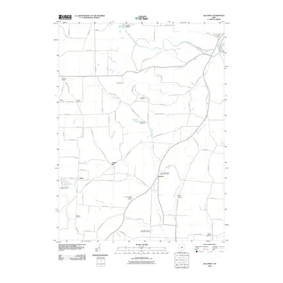
2010 Map of Jelloway
USGS Topo · Published 2010About this map
Jelloway and the crossroads of College Hill anchor this rural landscape in north-central Ohio, where the drainage of Jelloway Creek and Shadley Valley Creek shapes the local topography. This early 21st-century record reveals a region deeply tied to its faith and community history, evidenced by a dense concentration of denominational burying grounds. Notable sites include the Jelloway Methodist Episcopal Cemetery, the Zion Evangelical Lutheran Cemetery, and the North Bend Church of the Brethren Cemetery. To the north, the terrain transitions toward the Clear Fork Mohican River and the recreation areas surrounding Pleasant Hill Lake and Pleasant Hill Dam. Smaller settlements like Nunda and natural landmarks such as Big Lyons Falls provide further geographic context for researchers tracing the development of this Ashland County corridor.
Find a feature on this map
87 named features on this map. Tap any name to fly to it.
Don’t see what you’re looking for? This feature index may not catch every label — zoom into the map to look around manually.
Map Details
Editions of this 2010 Jelloway Map
This is the sole edition of this map. No revisions or reprints were ever made.
Other maps of this area

1912 · Loudonville
USGS Topo · 1:62,500

1912 · Gambier
USGS Topo · 1:62,500

1912 · Perrysville
USGS Topo · 1:62,500

1913 · Brinkhaven
USGS Topo · 1:62,500

1914 · Gambier
USGS Topo · 1:62,500

1914 · Loudonville
USGS Topo · 1:62,500

1915 · Brinkhaven
USGS Topo · 1:62,500

1915 · Perrysville
USGS Topo · 1:62,500

1943 · Gambier
USGS Topo · 1:62,500

1943 · Loudonville
USGS Topo · 1:62,500