Old Maps of Ripley, Ohio for Academic Research
Study the evolution of Ripley with 21 high-resolution historic maps. Whether you're teaching, researching, or modeling changes in land use, these maps provide essential visual documentation of urban, environmental, and geographic change.
- Analyze long-term change: Track patterns in development, transportation, and natural features.
- Ideal for environmental or urban studies: Support academic projects with primary historical map data.
- Use in the classroom or lab: Educators and researchers rely on these maps to bring historical context to life.
These maps are a powerful tool for teaching, research, and visualizing how Ripley has changed over the decades.
Ripley, OH maps
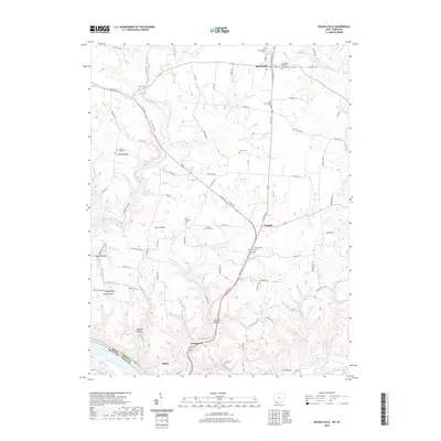
(21)- 1915 Map of Maysville, 1962 Print
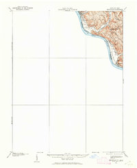 1915 Maysville1962 Print · USGSThe Ohio River valley near the Kentucky border comes to life in this survey from the years before the Great War. Genealogists and local historians can trace rural family-named landmarks like Porter Ridge and remote schoolhouses including Stephenson School and Flaugher School.
 - 1919 Map of Maysville, 1936 Print
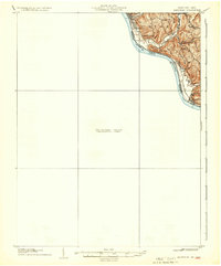 1919 Maysville1936 Print · USGSThe Ohio River bluffs above Ripley were a patchwork of ridge-top farms and rural school districts during the early twentieth century. Researchers can trace the paths of old township roads to find Hawk School, the landing at Aberdeen, and family-named landmarks like Flaugher Ridge.
 - 1928 Map of Higginsport
 1928 Higginsport1928 Print · USGSThe Kentucky side of the Ohio River is captured in the late twenties just as the rail-and-river economy flourished. Researchers can trace the riverbank rail lines of the Chesapeake and Ohio or locate early rural landmarks like Locust Grove Sch and the town of Augusta.
 - 1931 Map of Higginsport, 1948 Print
 1931 Higginsport1948 Print · USGSThe Ohio River corridor and Brown County hinterlands come alive in this early twentieth-century survey of the borderlands near Georgetown. Local historians can trace long-gone rural schoolhouses like McFadden School or locate the historic Brown County Infirmary and the Abandoned Columbus and Sardinia Road.
 - 1952 Map of Maysville West, 1953 Print
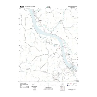
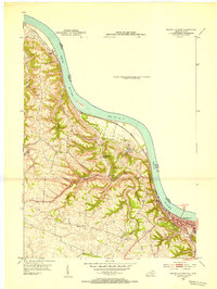 1952 Maysville West1953 Print · USGSThe Mason County riverfront comes to life in the early 1950s, centered on the historic river town of Maysville and its vital rail connections. Genealogists can trace family footprints near Pleasant Green Ch or follow the old Chesapeake and Ohio line past South Ripley.
 - 1957 Map of Huntington, 1966 Print
 1957 Huntington1966 Print · USGSThe industrial heart of the Ohio River valley is captured here in the mid-sixties, showing the growth of Huntington and Ashland. Researchers can trace the extensive rail networks of the Chesapeake and Ohio RR and locate sites like the Chief Cornstalk Hunting Ground.3 unique versions available
 - 1960 Map of Huntington
 1960 Huntington1960 Print · USGSThe tri-state river valley thrived in the late fifties as a hub of heavy industry and Appalachian rail transit. Genealogists and historians can trace the connection between river towns like Ashland and Portsmouth or locate family homesteads near Coleman Ridge.
 - 1961 Map of Maysville West, 1963 Print
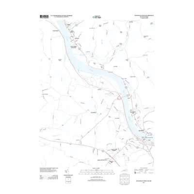
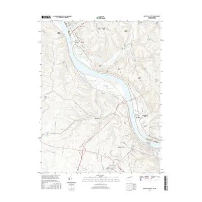
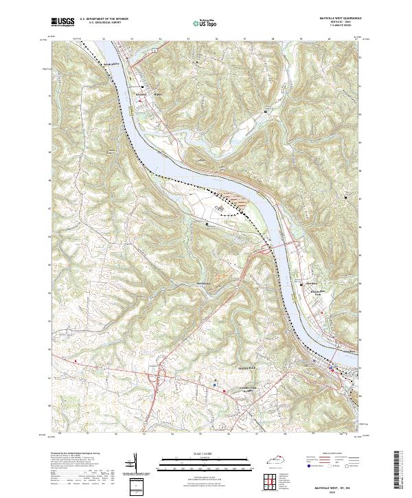
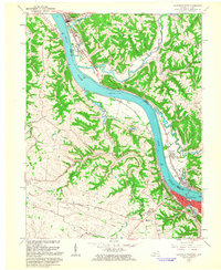 1961 Maysville West1963 Print · USGSThe Ohio River dominates this early 1960s landscape, connecting the bustling riverfront of Maysville with the quiet ridges of Union. Genealogists can trace family names through Maplewood Cem, Fitchs Chapel Cem, and the Lawrence Creek Ch.4 unique versions available
 - 1961 Map of Russellville, 1963 Print
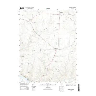
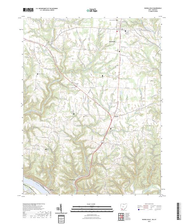
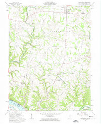 1961 Russellville1963 Print · USGSBrown County, Ohio, is captured in the early sixties as a landscape of ridge-top farms and deep creek hollows. Genealogists can trace family footprints at Linwood Cem and the John Rankin Home, or locate rural landmarks like the Covered Bridge and Redoak Ch.3 unique versions available
 - 1986 Map of Maysville
 1986 Maysville1986 Print · USGSThe Ohio River valley in the mid-eighties reveals a landscape of industrial river towns and sprawling public lands spanning the Kentucky and Ohio border. Researchers can trace the rail corridors of the Chesapeake and Ohio Railway or locate landmarks like Confidence Cemetery and the Fleming-Mason Airport.
 - 1991 Map of Maysville
 1991 Maysville1991 Print · USGSThe Ohio River valley at the turn of the nineties reveals a landscape of river-bend towns and dense forest preserves. Trace local history through landmark sites like Confidence Cemetery, the small-town streets of Ripley, and the river reaches of Manchester Island No 1.
 - 2010 Map of Russellville, 2010 Print
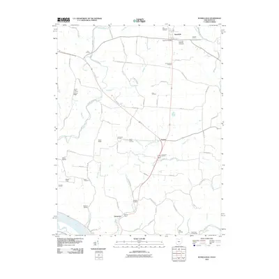 2010 Russellville2010 Print · USGSCovers Ripley, including Russellville, Redoak, and other nearby areas
 - 2010 Map of Maysville West, 2010 Print
 2010 Maysville West2010 Print · USGSCovers Ripley, including Maysville, Aberdeen, and other nearby areas
 - 2013 Map of Maysville West, 2013 Print
 2013 Maysville West2013 Print · USGSCovers Ripley, including Maysville, Aberdeen, and other nearby areas
 - 2013 Map of Russellville, 2013 Print
 2013 Russellville2013 Print · USGSCovers Ripley, including Russellville, Redoak, and other nearby areas
 - 2016 Map of Maysville West, 2016 Print
 2016 Maysville West2016 Print · USGSCovers Ripley, including Maysville, Aberdeen, and other nearby areas
 - 2016 Map of Russellville, 2016 Print
 2016 Russellville2016 Print · USGSCovers Ripley, including Russellville, Redoak, and other nearby areas
 - 2019 Map of Maysville West, 2019 Print
 2019 Maysville West2019 Print · USGSCovers Ripley, including Maysville, Aberdeen, and other nearby areas
 - 2019 Map of Russellville, 2019 Print
 2019 Russellville2019 Print · USGSCovers Ripley, including Russellville, Redoak, and other nearby areas
 - 2022 Map of Maysville West, 2022 Print
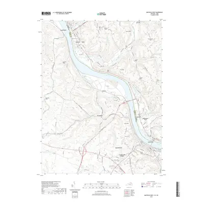
 2022 Maysville West2022 Print · USGSThe Ohio River valley serves as a bustling corridor between Kentucky and Ohio in this contemporary survey. Researchers can trace family history through sites like Maplewood Cem, the community of Hestoria, and the transition from riverfront Maysville to the heights of Moranburg.
 - 2023 Map of Russellville, 2023 Print
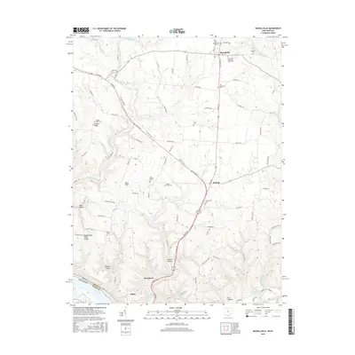
 2023 Russellville2023 Print · USGSThe rural landscape of Brown County is captured in this survey, where ridges and hollows meet the southern boundary at the Ohio River. Genealogists can trace local roots through numerous sites like Old Redoak Cem, Devore Family Cem, and Linwood Cem.
End of results
Showing maps 1-21 of 21
Top cities near Ripley
- Maysville historical maps
- Georgetown historical maps
- Manchester historical maps
- Aberdeen historical maps
- Augusta historical maps
- Winchester historical maps
See more
Top neighborhoods of Ripley
Frequently asked questions
- What are the different types of historical maps available for Ripley?
- What is the oldest map of Ripley?
- Where can I purchase historical maps of Ripley for my home or office?
- Where can I download high-res historical maps of Ripley?
- Are there historical topographic maps available for Ripley?
- Is there historical aerial imagery available for Ripley?
- Where are historical maps of Ripley sourced from?