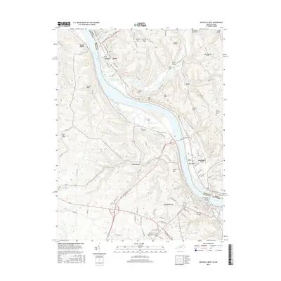
2016 Map of Maysville West
USGS Topo · Published 2016About this map
The Ohio River serves as the central artery and state boundary in this 2016 survey, dividing Maysville, Kentucky, from Ripley and Aberdeen, Ohio. The riverfront is anchored by the Simon Kenton Memorial Bridge, a vital connection between Mason and Brown counties. The landscape transitions from the river's floodplains to the high elevations of Jersey Ridge and Tuckahoe Ridge, where the terrain is punctuated by small settlements like Moranburg and Hestoria.
Find a feature on this map
118 named features on this map. Tap any name to fly to it.
Don’t see what you’re looking for? This feature index may not catch every label — zoom into the map to look around manually.
Map Details
Editions of this 2016 Maysville West Map
This is the sole edition of this map. No revisions or reprints were ever made.
Other maps of this area

1915 · Maysville
USGS Topo · 1:62,500

1918 · Seaman
USGS Topo · 1:62,500

1919 · Maysville
USGS Topo · 1:62,500

1928 · Higginsport
USGS Topo · 1:48,000

1929 · Springdale
USGS Topo · 1:48,000

1931 · Higginsport
USGS Topo · 1:62,500

1935 · Springdale
USGS Topo · 1:62,500

1952 · Maysville East
USGS Topo · 1:24,000

1952 · Germantown
USGS Topo · 1:24,000

1952 · Higginsport
USGS Topo · 1:24,000