2000s (21st Century) Maps of Urbana, Ohio
Explore 20 historic maps of Urbana from the 2000s (21st Century). These maps offer a rare glimpse into what life looked like during the 2000s — showing old roads, neighborhoods, homes, and landmarks that have changed or disappeared over time.
Whether you're researching your family's past, planning a metal detecting trip, or studying how Urbana's landscape evolved across the 2000s, these high-resolution maps are a powerful tool for exploring the history of this region.
- Focus on a specific era: All maps on this page are from the 2000s, giving you a focused view of this time period.
- See what’s changed: Compare century-old streets, trails, and buildings to today's modern landscape using overlays and satellite layers.
- Research with precision: Use these maps for genealogy, historical research, land use analysis, or educational projects.
- View, download, or print: Maps are fully viewable online in high resolution, and can be downloaded or printed for your own records.
Start exploring Urbana's history through authentic maps from the 2000s. This is your window into the past.
Urbana, OH maps
(20)- 2010 Map of Northville, 2010 Print
 2010 Northville2010 Print · USGSCovers Urbana, including West Liberty, Northville, and other nearby areas
 - 2010 Map of Urbana West, 2010 Print
 2010 Urbana West2010 Print · USGSCovers Urbana, including Tremont City, Tecumseh Woods, and other nearby areas
 - 2010 Map of Kingscreek, 2010 Print
 2010 Kingscreek2010 Print · USGSCovers Urbana, including West Liberty, Hagenbaugh, and other nearby areas
 - 2010 Map of Urbana East, 2010 Print
 2010 Urbana East2010 Print · USGSCovers Urbana, including Catawba, Mutual, and other nearby areas
 - 2013 Map of Urbana West, 2013 Print
 2013 Urbana West2013 Print · USGSCovers Urbana, including Tremont City, Tecumseh Woods, and other nearby areas
 - 2013 Map of Urbana East, 2013 Print
 2013 Urbana East2013 Print · USGSCovers Urbana, including Catawba, Mutual, and other nearby areas
 - 2013 Map of Kingscreek, 2013 Print
 2013 Kingscreek2013 Print · USGSCovers Urbana, including West Liberty, Hagenbaugh, and other nearby areas
 - 2013 Map of Northville, 2013 Print
 2013 Northville2013 Print · USGSCovers Urbana, including West Liberty, Northville, and other nearby areas
 - 2016 Map of Urbana East, 2016 Print
 2016 Urbana East2016 Print · USGSCovers Urbana, including Catawba, Mutual, and other nearby areas
 - 2016 Map of Urbana West, 2016 Print
 2016 Urbana West2016 Print · USGSCovers Urbana, including Tremont City, Tecumseh Woods, and other nearby areas
 - 2016 Map of Northville, 2016 Print
 2016 Northville2016 Print · USGSCovers Urbana, including West Liberty, Northville, and other nearby areas
 - 2016 Map of Kingscreek, 2016 Print
 2016 Kingscreek2016 Print · USGSCovers Urbana, including West Liberty, Hagenbaugh, and other nearby areas
 - 2019 Map of Urbana West, 2019 Print
 2019 Urbana West2019 Print · USGSCovers Urbana, including Tremont City, Tecumseh Woods, and other nearby areas
 - 2019 Map of Urbana East, 2019 Print
 2019 Urbana East2019 Print · USGSCovers Urbana, including Catawba, Mutual, and other nearby areas
 - 2019 Map of Kingscreek, 2019 Print
 2019 Kingscreek2019 Print · USGSCovers Urbana, including West Liberty, Hagenbaugh, and other nearby areas
 - 2019 Map of Northville, 2019 Print
 2019 Northville2019 Print · USGSCovers Urbana, including West Liberty, Northville, and other nearby areas
 - 2023 Map of Urbana West, 2023 Print
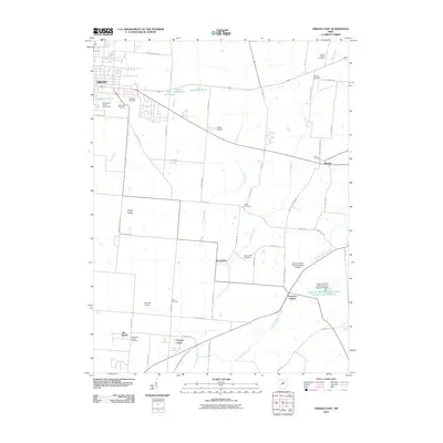
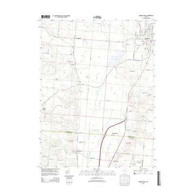
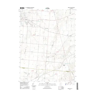
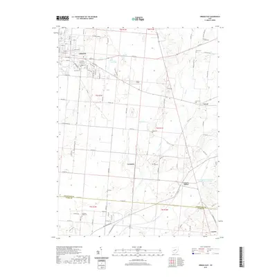
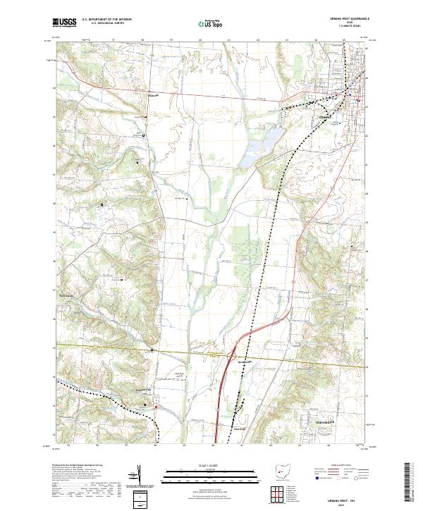 2023 Urbana West2023 Print · USGSThe western outskirts of Urbana and the Mad River valley are captured here in the early twenty-first century, showing a mix of historic settlement and preserved wetlands. Researchers can locate numerous pioneer burial grounds like Nettle Creek Cem or trace the early paths of the Old Troy Pike and the Cedar Swamp.
 - 2023 Map of Northville, 2023 Print
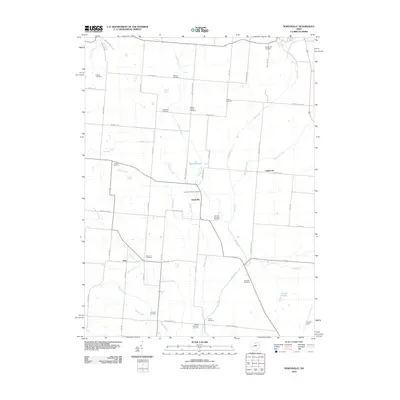
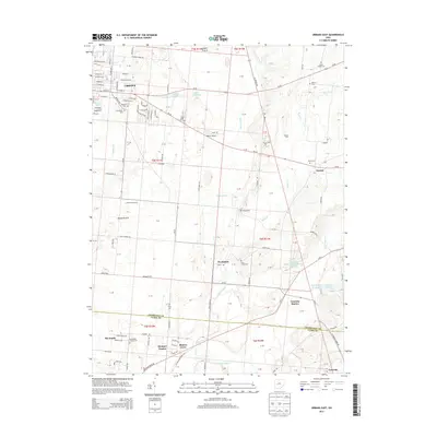
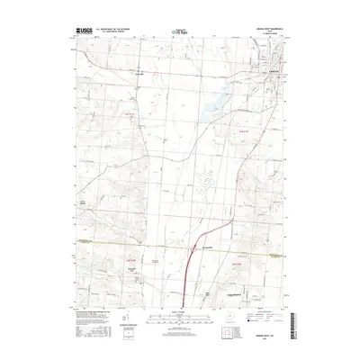
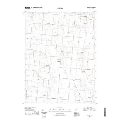
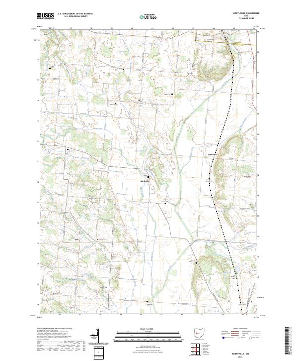 2023 Northville2023 Print · USGSChampaign County at the start of the 2020s shows a landscape of enduring rural settlements and family-named burial grounds. Genealogists can trace local history through sites like Scott and Pullins Cem, the hamlet of Eris, and the aviation grounds at Grimes Field.
 - 2023 Map of Kingscreek, 2023 Print
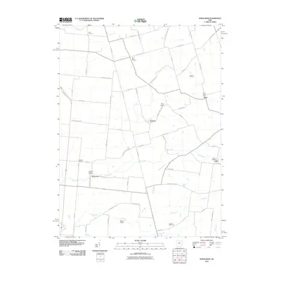
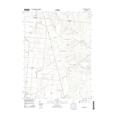
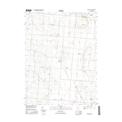
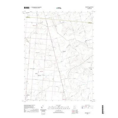
 2023 Kingscreek2023 Print · USGSChampaign County at the start of the 2020s remains a landscape of quiet crossroads and historic farmsteads. Genealogists can locate family-named landmarks and numerous burial sites including Mount Tabor Cem, Kingscreek Baptist Cem, and Cable Cem.
 - 2023 Map of Urbana East, 2023 Print
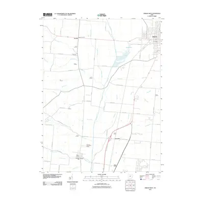
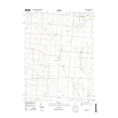
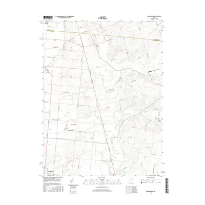
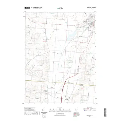
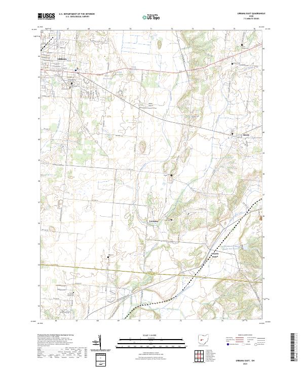 2023 Urbana East2023 Print · USGSChampaign County's eastern townships are documented here during a period of modern agricultural and residential stability. Local historians can trace family roots through numerous burial sites like Oakdale Cem or locate old community hubs at Powhattan and Catawba Station.
End of results
Showing maps 1-20 of 20
Top cities near Urbana
- Springfield historical maps
- Bellefontaine historical maps
- Mad River historical maps
- Harmony historical maps
- Saint Paris historical maps
- West Liberty historical maps
See more
Top neighborhoods of Urbana
- Scioto Street Historic District historical maps
- Urbana Monument Square Historic District historical maps
Frequently asked questions
- What are the different types of historical maps available for Urbana?
- What is the oldest map of Urbana?
- Where can I purchase historical maps of Urbana for my home or office?
- Where can I download high-res historical maps of Urbana?
- Are there historical topographic maps available for Urbana?
- Is there historical aerial imagery available for Urbana?
- Where are historical maps of Urbana sourced from?