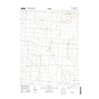
2013 Map of Northville
USGS Topo · Published 2013About this map
Urbana and its northern outskirts are anchored by the presence of Grimes Field Airport, marking the southern edge of this West Central Ohio landscape. The terrain is defined by the broad drainage patterns of the Mad River and its various tributaries, including Muddy Cr and Glady Cr. Settlement is distributed among small clusters like Northville, Eris, and Lippincott, connected by a network of rural roads such as Woodville Pike and Millerstown Eris Rd.
Find a feature on this map
105 named features on this map. Tap any name to fly to it.
Don’t see what you’re looking for? This feature index may not catch every label — zoom into the map to look around manually.
Map Details
Editions of this 2013 Northville Map
This is the sole edition of this map. No revisions or reprints were ever made.
Other maps of this area

1913 · Bellefontaine
USGS Topo · 1:48,000

1913 · East Liberty
USGS Topo · 1:62,500

1914 · St. Paris
USGS Topo · 1:62,500

1914 · Mechanicsburg
USGS Topo · 1:62,500

1915 · Bellefontaine
USGS Topo · 1:62,500

1915 · East Liberty
USGS Topo · 1:62,500

1916 · Mechanicsburg
USGS Topo · 1:62,500

1916 · St. Paris
USGS Topo · 1:62,500

1944 · East Liberty
USGS Topo · 1:62,500

1944 · Mechanicsburg
USGS Topo · 1:62,500