2000s (21st Century) Maps of Osgood, Ohio
Explore 10 historic maps of Osgood from the 2000s (21st Century). These maps offer a rare glimpse into what life looked like during the 2000s — showing old roads, neighborhoods, homes, and landmarks that have changed or disappeared over time.
Whether you're researching your family's past, planning a metal detecting trip, or studying how Osgood's landscape evolved across the 2000s, these high-resolution maps are a powerful tool for exploring the history of this region.
- Focus on a specific era: All maps on this page are from the 2000s, giving you a focused view of this time period.
- See what’s changed: Compare century-old streets, trails, and buildings to today's modern landscape using overlays and satellite layers.
- Research with precision: Use these maps for genealogy, historical research, land use analysis, or educational projects.
- View, download, or print: Maps are fully viewable online in high resolution, and can be downloaded or printed for your own records.
Start exploring Osgood's history through authentic maps from the 2000s. This is your window into the past.
Osgood, OH maps
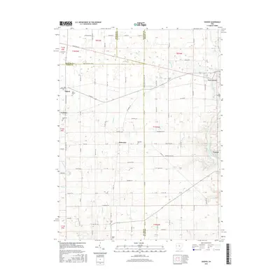
(10)- 2010 Map of Osgood, 2010 Print
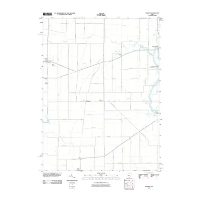 2010 Osgood2010 Print · USGSCovers Osgood, including Fort Loramie, Yorkshire, and other nearby areas
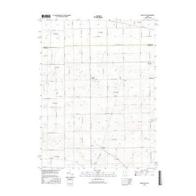
 - 2010 Map of North Star, 2010 Print
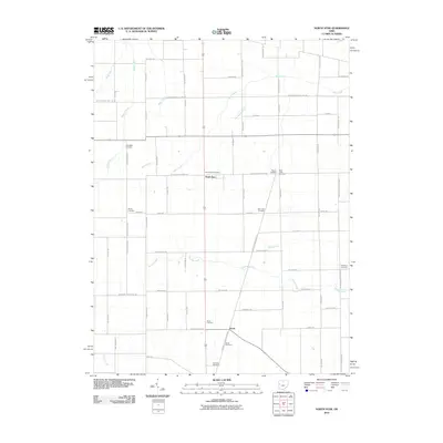 2010 North Star2010 Print · USGSCovers Osgood, including North Star, Yorkshire, and other nearby areas
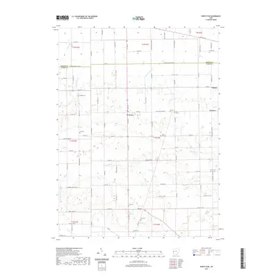
 - 2013 Map of North Star, 2013 Print
 2013 North Star2013 Print · USGSCovers Osgood, including North Star, Yorkshire, and other nearby areas
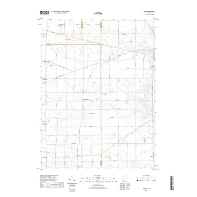
 - 2013 Map of Osgood, 2013 Print
 2013 Osgood2013 Print · USGSCovers Osgood, including Fort Loramie, Yorkshire, and other nearby areas
 - 2016 Map of Osgood, 2016 Print
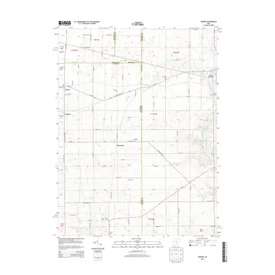
 2016 Osgood2016 Print · USGSCovers Osgood, including Fort Loramie, Yorkshire, and other nearby areas
 - 2016 Map of North Star, 2016 Print
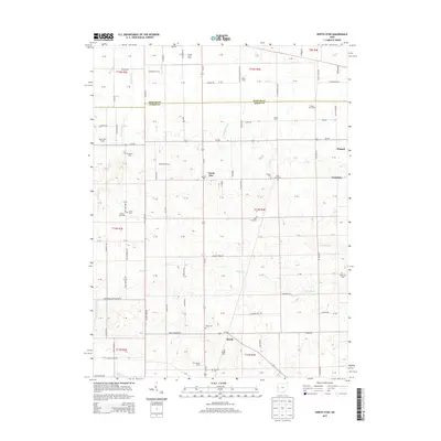
 2016 North Star2016 Print · USGSCovers Osgood, including North Star, Yorkshire, and other nearby areas
 - 2019 Map of Osgood, 2019 Print
 2019 Osgood2019 Print · USGSCovers Osgood, including Fort Loramie, Yorkshire, and other nearby areas
 - 2019 Map of North Star, 2019 Print
 2019 North Star2019 Print · USGSCovers Osgood, including North Star, Yorkshire, and other nearby areas
 - 2023 Map of North Star, 2023 Print
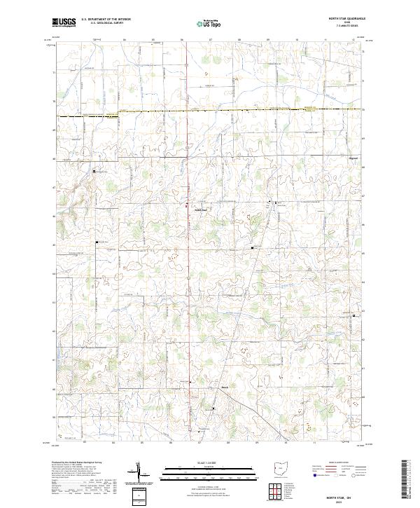 2023 North Star2023 Print · USGSWestern Ohio farmland at the intersection of Darke and Mercer Counties reveals a landscape of enduring family homesteads and parish life. Researchers can trace ancestral roots through numerous local burial sites like Tea Cup Cem, Shooks Cem, and Saint Louis Cem.
 - 2023 Map of Osgood, 2023 Print
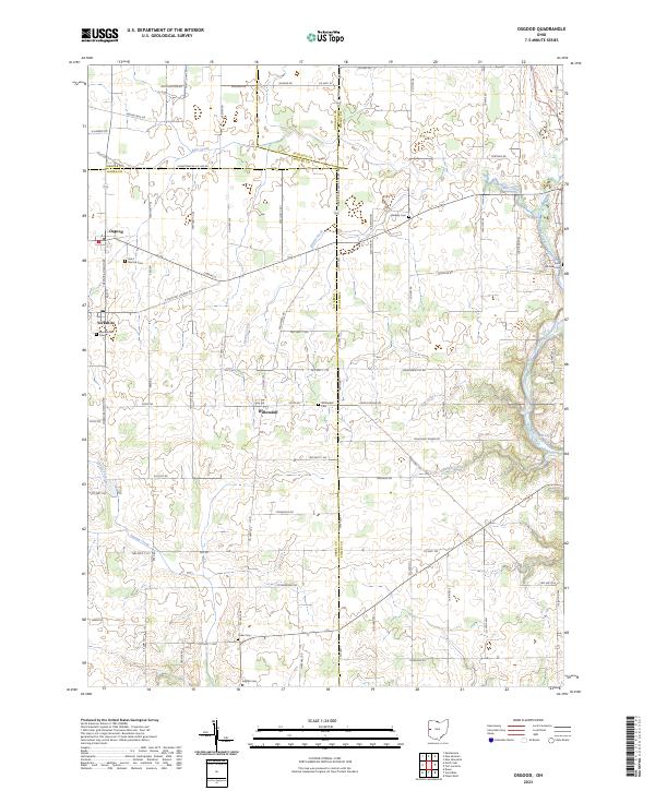 2023 Osgood2023 Print · USGSDarke and Mercer counties at the start of the 2020s remain a landscape of quiet rural crossroads and family legacy. Researchers can trace ancestral locations near Osgood, Willowdell, and several historic burying grounds like Saint Michael Cem and Yoder Cem.
End of results
Showing maps 1-10 of 10
Top cities near Osgood
- Piqua historical maps
- Greenville historical maps
- Celina historical maps
- Saint Marys historical maps
- Coldwater historical maps
- New Bremen historical maps
See more
Frequently asked questions
- What are the different types of historical maps available for Osgood?
- What is the oldest map of Osgood?
- Where can I purchase historical maps of Osgood for my home or office?
- Where can I download high-res historical maps of Osgood?
- Are there historical topographic maps available for Osgood?
- Is there historical aerial imagery available for Osgood?
- Where are historical maps of Osgood sourced from?