Old Maps of Gallia County, Ohio for Metal Detecting
Plan your next treasure hunt with 139 historic maps of Gallia County. Find old homesites, ghost towns, trails, and gathering spots that may be lost to time — perfect for identifying promising metal detecting locations.
- Locate forgotten sites: Uncover places like long-lost settlements, abandoned rail lines, or gathering spots.
- Plan better hunts: Use map overlays combined with LiDAR or satellite views to narrow in on historically rich areas.
- Made for detectorists: Thousands of hobbyists use these maps to discover relics, coins, and hidden history.
Use these historic maps to boost your research and find new opportunities beneath the surface of Gallia County.
Gallia County, OH maps
(139)- 1905 Map of Wilkesville, 1958 Print
 1905 Wilkesville1958 Print · USGSVinton County and its neighbors at the height of the early industrial era show a landscape shaped by charcoal furnaces and narrow-gauge rail interests. Genealogists can trace family footprints across dozens of local school districts like Auburn School or within established centers like Wilkesville and Minerton.
 - 1906 Map of Bidwell, 1954 Print
 1906 Bidwell1954 Print · USGSGallia County at the turn of the century is a network of small townships and valley settlements connected by the Gallipolis and Chillicothe RR. Researchers can trace rural life through a wealth of local landmarks like Centerville Thurman PO, Ghee Bridge, and the Tomato Valley School.
 - 1906 Map of Athalia, 1956 Print
 1906 Athalia1956 Print · USGSLawrence and Gallia counties in the early 1900s are captured here as a landscape of river ferries and ridge-top farm communities. You can trace early post offices at Willowwood, follow the Baltimore and Ohio RR, or locate old river crossings like the Crown City Ferry.
 - 1906 Map of Glenwood, 1958 Print
 1906 Glenwood1958 Print · USGSThe Ohio River valley was a bustling corridor of steam and rail at the start of the 1900s, anchoring the border between Mason County and Ohio. Researchers can trace riverside settlements like Mercers Bottom, find vanished post offices such as Thivener PO, and follow the Baltimore and Ohio RR through Apple Grove.
 - 1907 Map of Pomeroy
 1907 Pomeroy1907 Print · USGSMeigs County at the peak of the river-and-rail era shows a landscape of busy Ohio River towns and remote hillside post offices. Genealogists can trace family footprints near Pomeroy, the Bunker Hill Church, and the dual settlement of Pagetown Downingston PO.3 unique versions available
 - 1908 Map of Bidwell
 1908 Bidwell1908 Print · USGSGallia County at the turn of the century is a landscape of creek-side hamlets and hill-country schools. Genealogists can trace family roots through numerous local landmarks like Tomato Valley School, Tabor Church, and the Centerville Thurman P O post office.2 unique versions available
 - 1908 Map of Athalia
 1908 Athalia1908 Print · USGSThe Ohio River borderlands in the early twentieth century were a network of ferry crossings and small river towns. Genealogists can trace family names and farmsteads near Athalia, Crown City, and the Baltimore and Ohio RR corridor.3 unique versions available
 - 1908 Map of Glenwood
 1908 Glenwood1908 Print · USGSThe Ohio River valley at the turn of the century shows a landscape of riverfront rail towns and high ridges before modern development. Genealogists can trace early post offices like Yellowtown Thivener PO and settlements at Mercers Bottom or Ben Lomond.3 unique versions available
 - 1908 Map of Point Pleasant
 1908 Point Pleasant1908 Print · USGSThe confluence of the Ohio and Kanawha Rivers comes alive in the Edwardian era, showing a landscape defined by steamboats and steam engines. Genealogists can trace family roots through riverside landings and local institutions like the Ohio Epileptic Home, Hickory Chapel, and the Gallipolis Ferry.3 unique versions available
 - 1908 Map of Wilkesville, 1943 Print
 1908 Wilkesville1943 Print · USGSThe Vinton County hills are seen here during a peak era of iron furnaces and rail expansion before the Great War. Genealogists and researchers can trace dozens of family-named landmarks and institutions, from the Vinton Furnace site to Boring Church and the Haggerty School.
 - 1912 Map of Oak Hill, 1935 Print
 1912 Oak Hill1935 Print · USGSSouthern Ohio's iron-producing hill country is captured here during its industrial peak before the mid-century decline. Genealogists and historians can locate family homesites near landmark sites like Jefferson Furnace, the village of South Webster, and dozens of rural schools including Riegel School.2 unique versions available
 - 1926 Map of Point Pleasant, 1958 Print
 1926 Point Pleasant1958 Print · USGSAt the meeting of the Ohio and Kanawha rivers, this 1920s landscape captures a bustling network of river commerce and railroad towns. Researchers can trace historic river crossings like the Gallipolis Ferry and locate early institutional landmarks including the Epileptic Home and State Industrial School.
 - 1929 Map of Point Pleasant
 1929 Point Pleasant1929 Print · USGSThe riverfronts of the Ohio and Kanawha serve as the industrial spine for this region during the late 1920s. Researchers can trace genealogical roots through dozens of local landmarks like Ambrosia PO, Clipper Mill, and the Morning Star School.2 unique versions available
 - 1947 Map of Columbus, 1948 Print
 1947 Columbus1948 Print · USGSCentral Ohio in the late 1940s is captured in this survey, showing the post-war transition of its rail hubs and military airfield expansions. Genealogists and historians can trace the paths of the Ohio Canal, the Pennsylvania RR lines, and the Camp Sherman Military Reservation.
 - 1957 Map of Huntington, 1966 Print
 1957 Huntington1966 Print · USGSThe industrial heart of the Ohio River valley is captured here in the mid-sixties, showing the growth of Huntington and Ashland. Researchers can trace the extensive rail networks of the Chesapeake and Ohio RR and locate sites like the Chief Cornstalk Hunting Ground.3 unique versions available
 - 1958 Map of Glenwood, 1959 Print
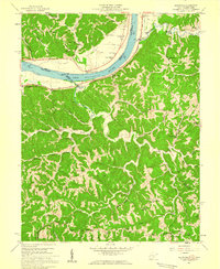 1958 Glenwood1959 Print · USGSThe Ohio River valley in the late fifties was a landscape of ridge-top schools and river-rail commerce. Genealogists can trace family names at Swan Creek Ch, Barker Sch, and Bias Chapel.2 unique versions available
 - 1958 Map of Athalia, 1959 Print
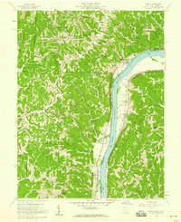 1958 Athalia1959 Print · USGSThe Ohio River valley and the surrounding Lawrence County hill country are captured here in the late fifties. Researchers can trace the riverfront rail economy along the Baltimore and Ohio and locate landmarks like Fairland Sch No 4 and Caldwell Cem.
 - 1958 Map of Cheshire, 1959 Print
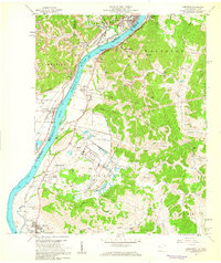 1958 Cheshire1959 Print · USGSThe Ohio River valley near Point Pleasant hummed with mid-century industry and institutional growth along the rail lines. Researchers can trace the footprints of the Lakin State Hospital, the Clifton F McClintic State Wildlife Station, and numerous local landmarks like Spillman Ch.
 - 1958 Map of Gallipolis, 1960 Print
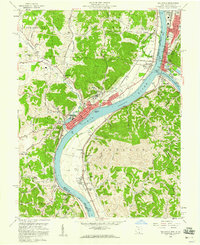 1958 Gallipolis1960 Print · USGSThe confluence of the Ohio and Kanawha Rivers comes alive in the late 1950s, showing the vital border connection between Ohio and West Virginia. Genealogists and local historians can trace family sites from Mound Hill Cemetery to rural landmarks like Mina Chapel and the County Childrens Home.4 unique versions available
 - 1958 Map of Apple Grove, 1961 Print
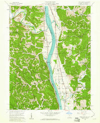 1958 Apple Grove1961 Print · USGSThe Ohio River valley south of Point Pleasant was a landscape of river-and-rail industry and small farming hamlets in the late fifties. Genealogists and historians can trace family roots through landmarks like Mercers Bottom, the Clay Chapel Cem, and Beale Chapel.2 unique versions available
 - 1960 Map of Huntington
 1960 Huntington1960 Print · USGSThe tri-state river valley thrived in the late fifties as a hub of heavy industry and Appalachian rail transit. Genealogists and historians can trace the connection between river towns like Ashland and Portsmouth or locate family homesteads near Coleman Ridge.
 - 1960 Map of Addison, 1961 Print
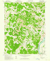 1960 Addison1961 Print · USGSGallia County and the Ohio River riverfront appear in the early sixties at a peak of coal and power production. Genealogists can trace family names through landmarks like McCarty Cem and Roush Cem or the rural settlement at Eno.4 unique versions available
 - 1960 Map of Rutland, 1961 Print
 1960 Rutland1961 Print · USGSMeigs County's coal and rail landscape is captured here in the early sixties as industrial strip mining expanded across the hills. Researchers can trace family burial grounds like McCaskey Cem and follow the New York Central line through Langsville and Rutland.4 unique versions available
 - 1960 Map of Pomeroy, 1961 Print
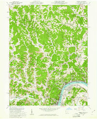 1960 Pomeroy1961 Print · USGSThe riverfront towns of Pomeroy and Middleport are shown at the height of their industrial era when three major railroads still serviced the Ohio River banks. Genealogists can trace family landmarks like Sacred Heart Ch, St Josephs Cem, and the County Fairgrounds.4 unique versions available
 - 1961 Map of Columbus
 1961 Columbus1961 Print · USGSCentral and Southern Ohio are captured here in the early sixties, as the region's industrial rail hubs and military bases reached their peak. Genealogists and historians can trace the transition from urban Columbus to rural townships along the Scioto River, locating Lockbourne USAF and old junctions like Washington Court House.
Showing maps 1-25 of 139
Top cities of Gallia County
- Gallipolis historical maps
- Rio Grande historical maps
- Crown City historical maps
- Vinton historical maps
- Cheshire historical maps
Frequently asked questions
- What are the different types of historical maps available for Gallia County?
- What is the oldest map of Gallia County?
- Where can I purchase historical maps of Gallia County for my home or office?
- Where can I download high-res historical maps of Gallia County?
- Are there historical topographic maps available for Gallia County?
- Is there historical aerial imagery available for Gallia County?
- Where are historical maps of Gallia County sourced from?