2000s (21st Century) Maps of Hancock County, Ohio
Explore 95 historic maps of Hancock County from the 2000s (21st Century). These maps offer a rare glimpse into what life looked like during the 2000s — showing old roads, neighborhoods, homes, and landmarks that have changed or disappeared over time.
Whether you're researching your family's past, planning a metal detecting trip, or studying how Hancock County's landscape evolved across the 2000s, these high-resolution maps are a powerful tool for exploring the history of this region.
- Focus on a specific era: All maps on this page are from the 2000s, giving you a focused view of this time period.
- See what’s changed: Compare century-old streets, trails, and buildings to today's modern landscape using overlays and satellite layers.
- Research with precision: Use these maps for genealogy, historical research, land use analysis, or educational projects.
- View, download, or print: Maps are fully viewable online in high resolution, and can be downloaded or printed for your own records.
Start exploring Hancock County's history through authentic maps from the 2000s. This is your window into the past.
Hancock County, OH maps
(95)- 2010 Map of Arcadia, 2010 Print
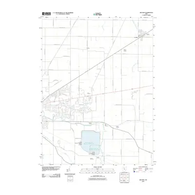 2010 Arcadia2010 Print · USGSThe village of Arcadia and the massive upground reservoirs of Hancock County appear in high detail during the early 2010s. Researchers can trace family history at Hamlin Cemetery and High Bank Cemetery or study the hydrology of the Blanchard River.
 - 2010 Map of Leipsic, 2010 Print
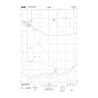 2010 Leipsic2010 Print · USGSPutnam County's rural character is on full display in this 2010 study of the agricultural heartland around Leipsic. Genealogists and local historians can trace numerous burial sites including Cholera Cemetery, Sugar Ridge Cemetery, and Maidlow Cemetery.
 - 2010 Map of Hoytville, 2010 Print
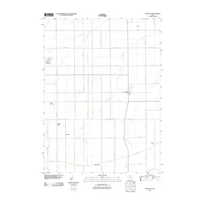 2010 Hoytville2010 Print · USGSWood County farmland shows its traditional grid and drainage networks in the early 21st century. Genealogists and local historians can trace family locations near Hancock, Butlers Mill, and the Jackson Township Cemetery.
 - 2010 Map of Findlay, 2010 Print
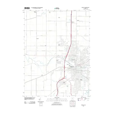 2010 Findlay2010 Print · USGSFindlay and its surrounding townships are captured here at the dawn of the 21st century as the city's modern footprint expands across the Hancock County landscape. Genealogists can trace family names and burial sites at the Hedges Family Cemetery, Aurand Cemetery, and Saint Michael Cemetery.
 - 2010 Map of McComb, 2010 Print
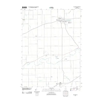 2010 McComb2010 Print · USGSHancock County farmland is shown in detail during the early 2010s, centered on the village of McComb and the Blanchard River. Genealogists and local historians can trace family plots at Horn Family Cemetery or Benton Ridge Cemetery and locate rural landmarks like Miller Lake.
 - 2010 Map of Bloomdale, 2010 Print
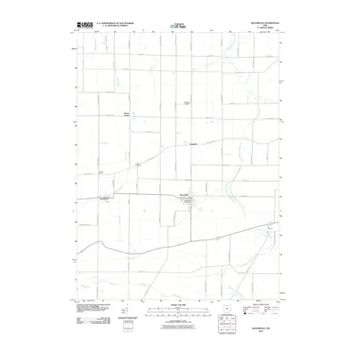 2010 Bloomdale2010 Print · USGSWood County at the turn of the decade reveals a structured agricultural landscape centered on the villages of Bloomdale and Bairdstown. Researchers can locate family sites near Chapel Cemetery or trace the rural routes of South Branch Portage River and Bull Creek.
 - 2010 Map of Deshler, 2010 Print
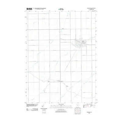 2010 Deshler2010 Print · USGSDeshler and Belmore are shown in great detail during the early 21st century, revealing a landscape of established farmsteads and vital rural hubs. Genealogists can pinpoint family sites near Woodlawn Cemetery, West Belmore Cemetery, or the village Deshler Post Office.
 - 2010 Map of Fostoria, 2010 Print
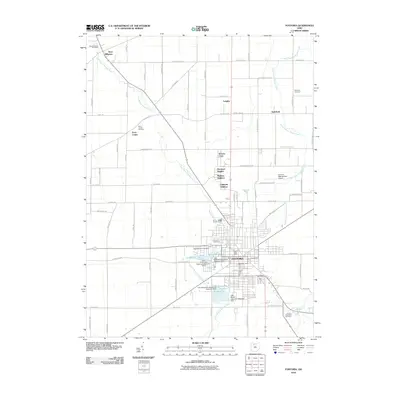 2010 Fostoria2010 Print · USGSFostoria sits at a crossroads of industry and agriculture during the early twenty-first century, defined by its unique upground reservoir system. Researchers can locate family heritage at Saint Wendelin Cemetery or explore small settlements like West Millgrove and Longley.
 - 2010 Map of North Baltimore, 2010 Print
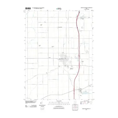 2010 North Baltimore2010 Print · USGSWood County at the turn of the decade shows a landscape of productive farmland, historic oil-era infrastructure, and quiet rural villages. Genealogists can locate numerous local burial sites like Bethel Cemetery and Hough Cemetery or trace the development of North Baltimore and Cygnet.
 - 2010 Map of Rawson, 2010 Print
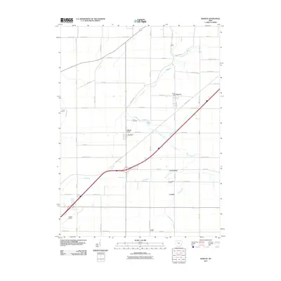 2010 Rawson2010 Print · USGSNorthwestern Ohio's agricultural heartland is documented here during the early twenty-first century, showing a landscape defined by small villages and drainage runs. Genealogists can locate family landmarks such as Smith Cemetery, Clymer Cemetery, and the old post office at Mount Cory.
 - 2010 Map of Arlington, 2010 Print
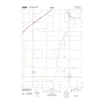 2010 Arlington2010 Print · USGSArlington and Jenera are captured during the early twenty-first century, showing a landscape defined by traditional farm grids and small-town infrastructure. Genealogists can trace a remarkable number of local burial sites, from Powell Cemetery and Keller Cemetery to Saint Pauls Cemetery.
 - 2010 Map of Dunkirk, 2010 Print
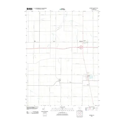 2010 Dunkirk2010 Print · USGSHardin County agriculture and small-town life are preserved here in the early 2000s. Researchers can locate family sites and rural landmarks like the Williamstown Post Office, Dola Cemetery, and the settlement of New Stark.
 - 2010 Map of Bluffton, 2010 Print
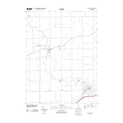 2010 Bluffton2010 Print · USGSBluffton and Pandora are captured at the start of the decade, showing a landscape shaped by Mennonite history and a complex network of prairie runs. Genealogists can locate several family-named burial grounds like Hilty Cemetery or study the campus layout of Bluffton College.
 - 2010 Map of Mount Blanchard, 2010 Print
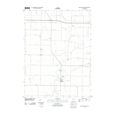 2010 Mount Blanchard2010 Print · USGSHancock County farmland at the start of the 21st century remains anchored by the village of Mount Blanchard. Genealogists and local historians can locate several historic burial sites, including Frontiers Repose Cemetery and Five Points Cemetery, while tracing the paths of Lye Creek and the Blanchard River.
 - 2010 Map of Beaverdam, 2010 Print
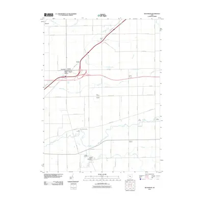 2010 Beaverdam2010 Print · USGSThis Allen County landscape during the early 21st century highlights a dense network of farm-to-market roads and early settlements. Genealogists can trace family names through numerous burial sites like Woodlawn Cemetery and Liberty Chapel Cemetery near Beaverdam.
 - 2010 Map of Ada, 2010 Print
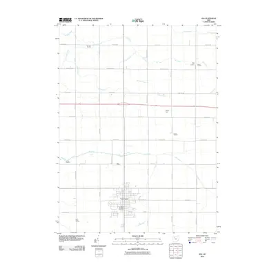 2010 Ada2010 Print · USGSHardin County agriculture and academia meet in this 2010 survey of Ada. Researchers can trace the layout of Ohio Northern University or locate family roots at local landmarks like Thompson Cemetery and Saint Johns Cemetery.
 - 2010 Map of Alvada, 2010 Print
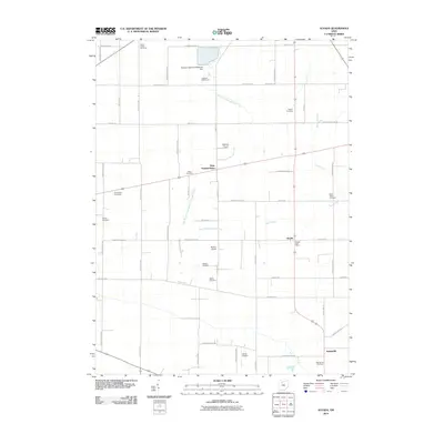 2010 Alvada2010 Print · USGSHancock County farmland is captured here in the early 2000s, showing a landscape defined by small crossroads communities and family legacies. Genealogists can trace local history through numerous burial sites like Union Cemetery and Saint Peters Cemetery near West Independence.
 - 2010 Map of Forest, 2010 Print
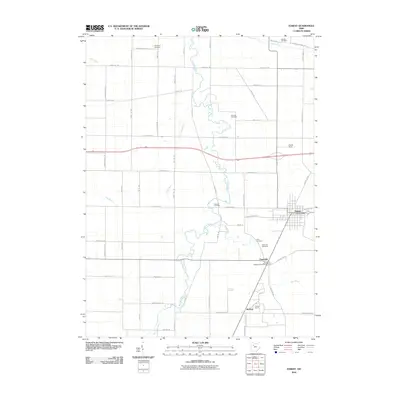 2010 Forest2010 Print · USGSHardin County agriculture and rural industry define this area during the early 2000s, where small river-town life persists alongside active mineral extraction. Genealogists can locate several historic burial sites, including Earlywine and Hueston, or trace the grounds near Patterson and the Herzog Quarry.
 - 2010 Map of Carey, 2010 Print
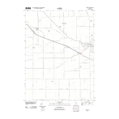 2010 Carey2010 Print · USGSCrawford Township and the village of Carey appear at the start of the twenty-first century, showing a landscape of family farms and rural road networks. Researchers can locate numerous local burial sites including Wentz Cemetery, Cole Cemetery, and Saint Marys Cemetery.
 - 2013 Map of Rawson, 2013 Print
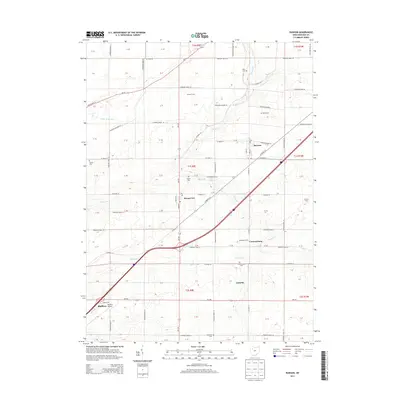 2013 Rawson2013 Print · USGSHancock County farmland and small-town life are documented here in the early twenty-first century. Researchers can locate family landmarks like Gorsuch Farm and several historic burial sites, including Flick Cem and Cannonsburg Cem.
 - 2013 Map of Bluffton, 2013 Print
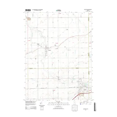 2013 Bluffton2013 Print · USGSThe crossroads of Allen and Putnam Counties come alive in this study of a storied Mennonite landscape. Genealogists and historians can trace the foundations of Bluffton Univ or locate family plots at Johime Mennonite Cem and Riley Creek Cem.
 - 2013 Map of Forest, 2013 Print
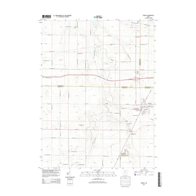 2013 Forest2013 Print · USGSHardin and Wyandot counties meet at the village of Forest in this early twenty-first-century survey of rural Ohio. Genealogists can locate several family burial sites like Earlywine Cem and Price Cem, or trace the rail-side growth of Patterson.
 - 2013 Map of Mount Blanchard, 2013 Print
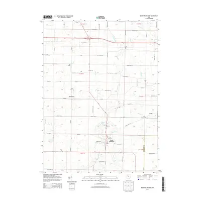 2013 Mount Blanchard2013 Print · USGSHancock County and the village of Mount Blanchard are shown here in the early 2010s, defined by the winding Blanchard River and productive farmland. Genealogists can trace numerous burial sites such as Frontiers Repose Cem and Riverview Cem alongside the settlement of Houcktown.
 - 2013 Map of Arlington, 2013 Print
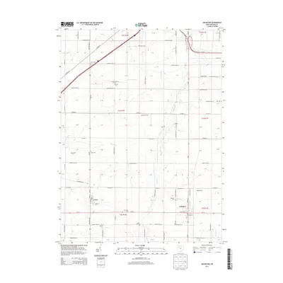 2013 Arlington2013 Print · USGSHancock County farmland is meticulously detailed in this early twenty-first-century survey of the communities south of Findlay. Genealogists and local historians can trace rural property context through numerous family-named landmarks like Keller Cem, Line Cem, and the Boehm Dairy Farm.
 - 2013 Map of Dunkirk, 2013 Print
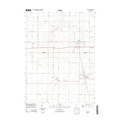 2013 Dunkirk2013 Print · USGSHardin and Hancock Counties are shown here during a time of modern infrastructure intersecting with traditional farm life. Genealogists can locate family burial plots at Dunkirk Cem or Eagle Creek Cem and trace the paths of Hog Cr and Buck Run.
Showing maps 1-25 of 95
Top cities of Hancock County
- Findlay historical maps
- McComb historical maps
- Arlington historical maps
- Arcadia historical maps
- Mount Blanchard historical maps
- Vanlue historical maps
See more
Frequently asked questions
- What are the different types of historical maps available for Hancock County?
- What is the oldest map of Hancock County?
- Where can I purchase historical maps of Hancock County for my home or office?
- Where can I download high-res historical maps of Hancock County?
- Are there historical topographic maps available for Hancock County?
- Is there historical aerial imagery available for Hancock County?
- Where are historical maps of Hancock County sourced from?