2000s (21st Century) Maps of Cadiz, Ohio
Explore 20 historic maps of Cadiz from the 2000s (21st Century). These maps offer a rare glimpse into what life looked like during the 2000s — showing old roads, neighborhoods, homes, and landmarks that have changed or disappeared over time.
Whether you're researching your family's past, planning a metal detecting trip, or studying how Cadiz's landscape evolved across the 2000s, these high-resolution maps are a powerful tool for exploring the history of this region.
- Focus on a specific era: All maps on this page are from the 2000s, giving you a focused view of this time period.
- See what’s changed: Compare century-old streets, trails, and buildings to today's modern landscape using overlays and satellite layers.
- Research with precision: Use these maps for genealogy, historical research, land use analysis, or educational projects.
- View, download, or print: Maps are fully viewable online in high resolution, and can be downloaded or printed for your own records.
Start exploring Cadiz's history through authentic maps from the 2000s. This is your window into the past.
Cadiz, OH maps
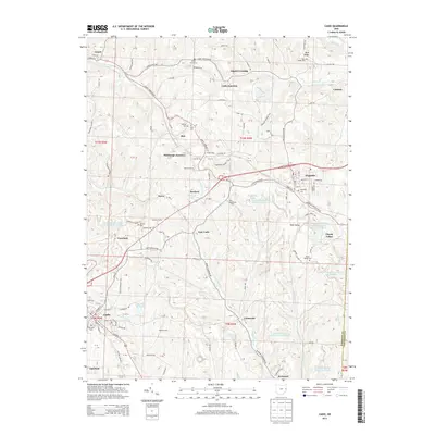
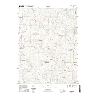
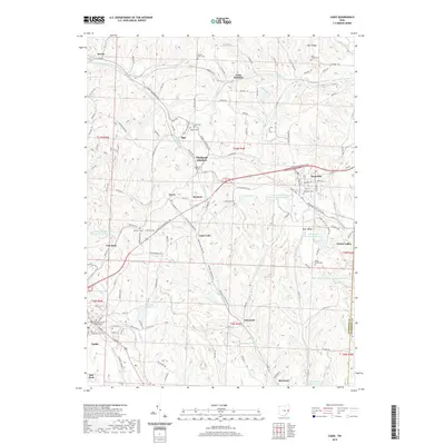
(20)- 2010 Map of Harrisville, 2010 Print
 2010 Harrisville2010 Print · USGSCovers Cadiz, including New Athens, Harrisville, and other nearby areas
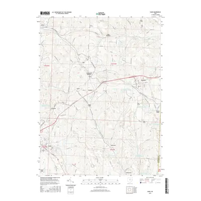
 - 2010 Map of Cadiz, 2010 Print
 2010 Cadiz2010 Print · USGSCovers Cadiz, including Hopedale, Jewett, and other nearby areas
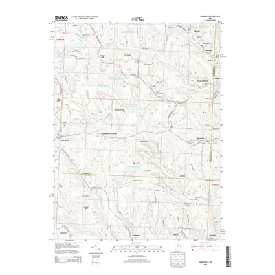
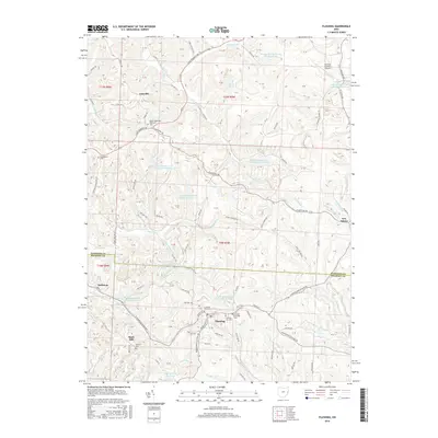
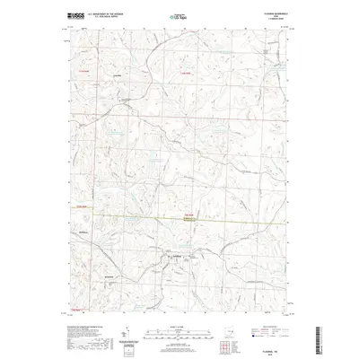
 - 2010 Map of Flushing, 2010 Print
 2010 Flushing2010 Print · USGSCovers Cadiz, including Flushing, New Athens, and other nearby areas
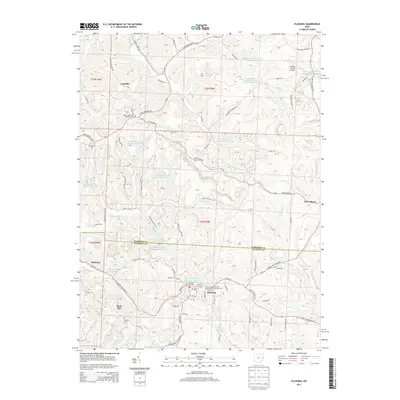
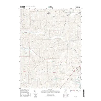
 - 2010 Map of Jewett, 2010 Print
 2010 Jewett2010 Print · USGSCovers Cadiz, including Jewett, Hanover, and other nearby areas
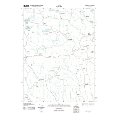
 - 2013 Map of Cadiz, 2013 Print
 2013 Cadiz2013 Print · USGSCovers Cadiz, including Hopedale, Jewett, and other nearby areas
 - 2013 Map of Harrisville, 2013 Print
 2013 Harrisville2013 Print · USGSCovers Cadiz, including New Athens, Harrisville, and other nearby areas
 - 2013 Map of Flushing, 2013 Print
 2013 Flushing2013 Print · USGSCovers Cadiz, including Flushing, New Athens, and other nearby areas
 - 2013 Map of Jewett, 2013 Print
 2013 Jewett2013 Print · USGSCovers Cadiz, including Jewett, Hanover, and other nearby areas
 - 2016 Map of Cadiz, 2016 Print
 2016 Cadiz2016 Print · USGSCovers Cadiz, including Hopedale, Jewett, and other nearby areas
 - 2016 Map of Harrisville, 2016 Print
 2016 Harrisville2016 Print · USGSCovers Cadiz, including New Athens, Harrisville, and other nearby areas
 - 2016 Map of Flushing, 2016 Print
 2016 Flushing2016 Print · USGSCovers Cadiz, including Flushing, New Athens, and other nearby areas
 - 2016 Map of Jewett, 2016 Print
 2016 Jewett2016 Print · USGSCovers Cadiz, including Jewett, Hanover, and other nearby areas
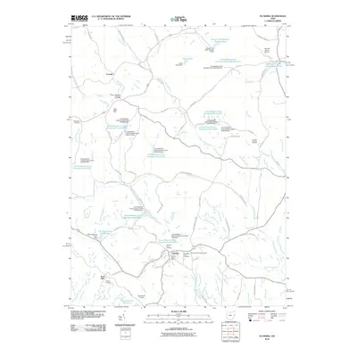
 - 2019 Map of Jewett, 2019 Print
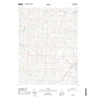 2019 Jewett2019 Print · USGSCovers Cadiz, including Jewett, Hanover, and other nearby areas
 - 2019 Map of Flushing, 2019 Print
 2019 Flushing2019 Print · USGSCovers Cadiz, including Flushing, New Athens, and other nearby areas
 - 2019 Map of Cadiz, 2019 Print
 2019 Cadiz2019 Print · USGSCovers Cadiz, including Hopedale, Jewett, and other nearby areas
 - 2019 Map of Harrisville, 2019 Print
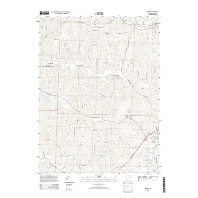
 2019 Harrisville2019 Print · USGSCovers Cadiz, including New Athens, Harrisville, and other nearby areas
 - 2023 Map of Harrisville, 2023 Print
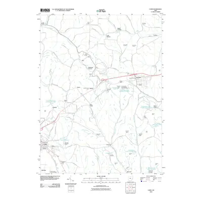
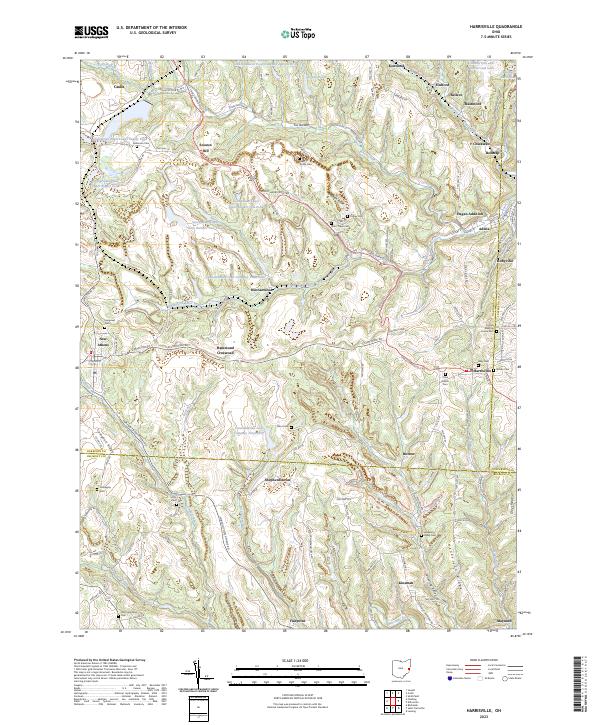 2023 Harrisville2023 Print · USGSEastern Ohio’s coal and Quaker heritage remains visible in the landscape of the early twenty-first century. Genealogists can trace family lines across dozens of rural burial sites like the Friends Meeting House Cem, Stiers Cem, and Olive Branch Cem.
 - 2023 Map of Jewett, 2023 Print
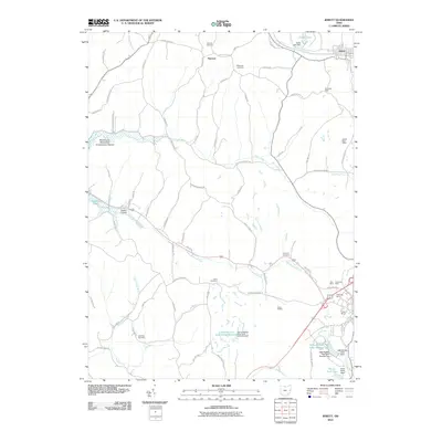
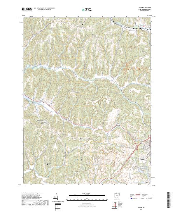 2023 Jewett2023 Print · USGSHarrison County's ridgelines and creek valleys are documented here in the early twenty-first century. Genealogists and local historians can locate several rural burial grounds, such as Infirmary Cem and Lees Run Cem, alongside landmarks like Maggies Knob.
 - 2023 Map of Flushing, 2023 Print
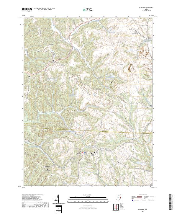 2023 Flushing2023 Print · USGSThe borderlands of Harrison and Belmont counties appear in high detail during the early 2020s, centered on the village of Flushing. Genealogists and local historians can locate several family burial sites like Rockhill Cem or trace the drainage of Jockey Hollow Run.
 - 2023 Map of Cadiz, 2023 Print
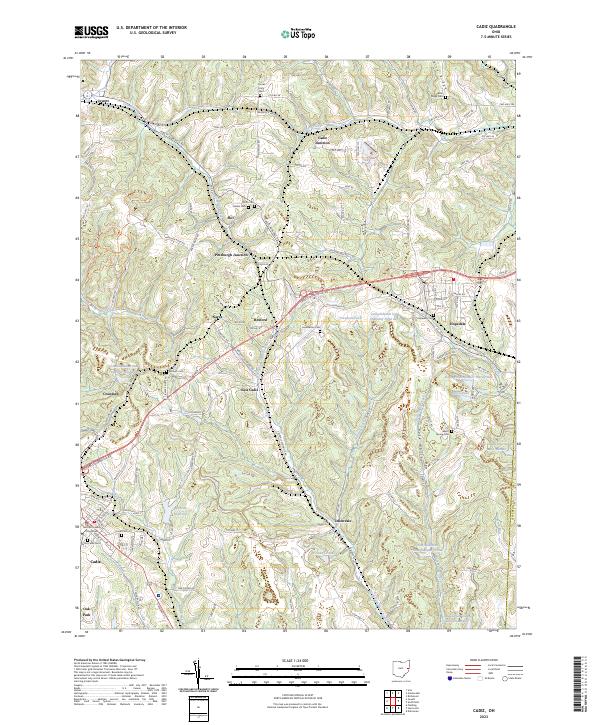 2023 Cadiz2023 Print · USGSHarrison County settlement and industry are in clear focus in this recent survey. Local researchers can trace the footprint of extraction at Consolidation Coal Company Pond or locate ancestors at Old Cadiz Cem and Hopedale Cem.
End of results
Showing maps 1-20 of 20
Top cities near Cadiz
- St. Clairsville historical maps
- Saint Clairsville historical maps
- Colerain historical maps
- Hopedale historical maps
- Flushing historical maps
- Smithfield historical maps
See more
Top neighborhoods of Cadiz
Frequently asked questions
- What are the different types of historical maps available for Cadiz?
- What is the oldest map of Cadiz?
- Where can I purchase historical maps of Cadiz for my home or office?
- Where can I download high-res historical maps of Cadiz?
- Are there historical topographic maps available for Cadiz?
- Is there historical aerial imagery available for Cadiz?
- Where are historical maps of Cadiz sourced from?