2000s (21st Century) Maps of Clinton Township, Ohio
Explore 20 historic maps of Clinton Township from the 2000s (21st Century). These maps offer a rare glimpse into what life looked like during the 2000s — showing old roads, neighborhoods, homes, and landmarks that have changed or disappeared over time.
Whether you're researching your family's past, planning a metal detecting trip, or studying how Clinton Township's landscape evolved across the 2000s, these high-resolution maps are a powerful tool for exploring the history of this region.
- Focus on a specific era: All maps on this page are from the 2000s, giving you a focused view of this time period.
- See what’s changed: Compare century-old streets, trails, and buildings to today's modern landscape using overlays and satellite layers.
- Research with precision: Use these maps for genealogy, historical research, land use analysis, or educational projects.
- View, download, or print: Maps are fully viewable online in high resolution, and can be downloaded or printed for your own records.
Start exploring Clinton Township's history through authentic maps from the 2000s. This is your window into the past.
Clinton Township, OH maps
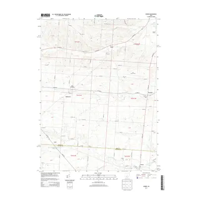
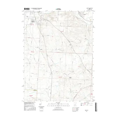
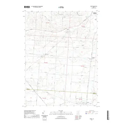
(20)- 2010 Map of Homer, 2010 Print
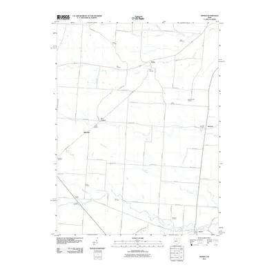 2010 Homer2010 Print · USGSCovers Clinton Township, including Mount Vernon, Five Corners, and other nearby areas
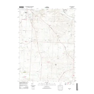
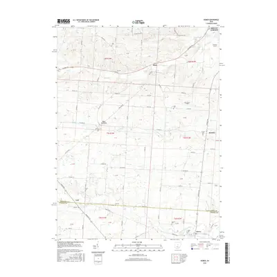
 - 2010 Map of Hunt, 2010 Print
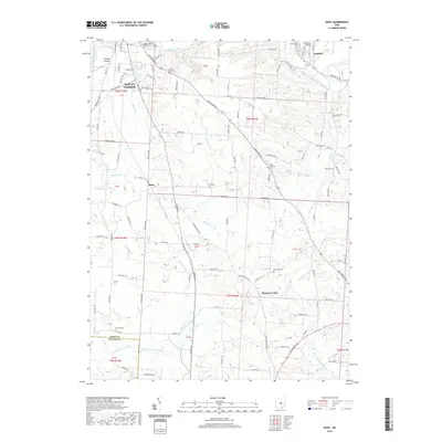
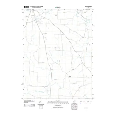 2010 Hunt2010 Print · USGSCovers Clinton Township, including Mount Vernon, Gambier, and other nearby areas
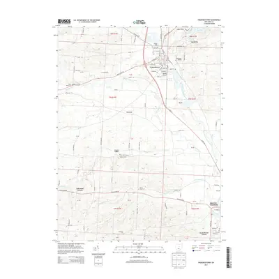
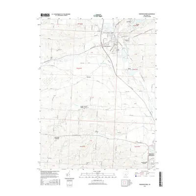
 - 2010 Map of Fredericktown, 2010 Print
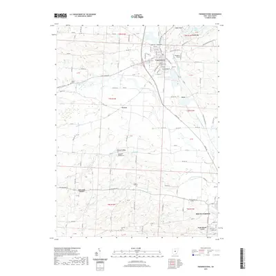
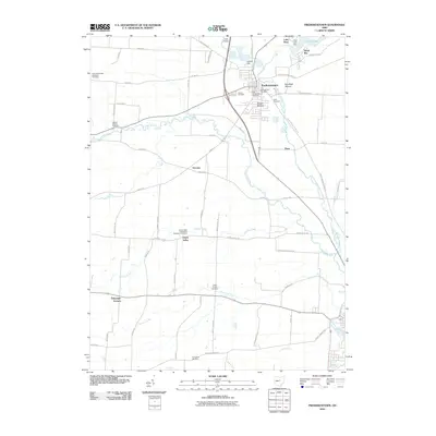 2010 Fredericktown2010 Print · USGSCovers Clinton Township, including Mount Vernon, Fredericktown, and other nearby areas
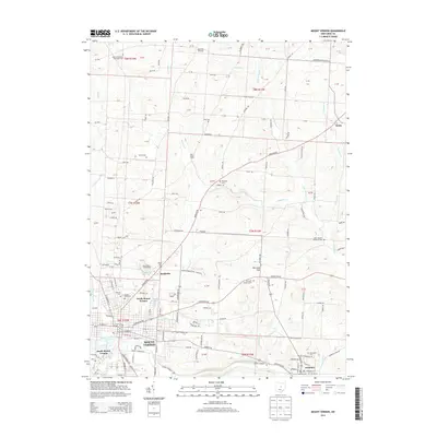
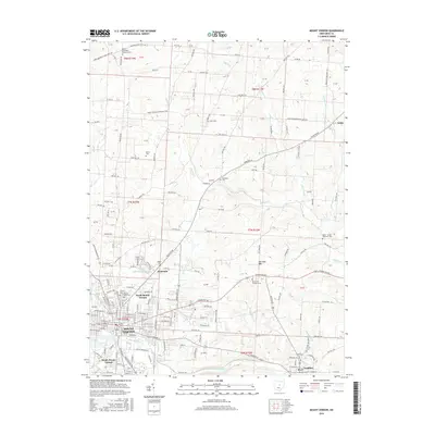
 - 2010 Map of Mount Vernon, 2010 Print
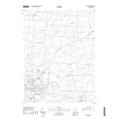
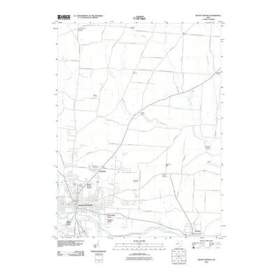 2010 Mount Vernon2010 Print · USGSCovers Clinton Township, including Mount Vernon, Gambier, and other nearby areas
 - 2013 Map of Fredericktown, 2013 Print
 2013 Fredericktown2013 Print · USGSCovers Clinton Township, including Mount Vernon, Fredericktown, and other nearby areas
 - 2013 Map of Homer, 2013 Print
 2013 Homer2013 Print · USGSCovers Clinton Township, including Mount Vernon, Five Corners, and other nearby areas
 - 2013 Map of Mount Vernon, 2013 Print
 2013 Mount Vernon2013 Print · USGSCovers Clinton Township, including Mount Vernon, Gambier, and other nearby areas
 - 2013 Map of Hunt, 2013 Print
 2013 Hunt2013 Print · USGSCovers Clinton Township, including Mount Vernon, Gambier, and other nearby areas
 - 2016 Map of Hunt, 2016 Print
 2016 Hunt2016 Print · USGSCovers Clinton Township, including Mount Vernon, Gambier, and other nearby areas
 - 2016 Map of Fredericktown, 2016 Print
 2016 Fredericktown2016 Print · USGSCovers Clinton Township, including Mount Vernon, Fredericktown, and other nearby areas
 - 2016 Map of Homer, 2016 Print
 2016 Homer2016 Print · USGSCovers Clinton Township, including Mount Vernon, Five Corners, and other nearby areas
 - 2016 Map of Mount Vernon, 2016 Print
 2016 Mount Vernon2016 Print · USGSCovers Clinton Township, including Mount Vernon, Gambier, and other nearby areas
 - 2019 Map of Fredericktown, 2019 Print
 2019 Fredericktown2019 Print · USGSCovers Clinton Township, including Mount Vernon, Fredericktown, and other nearby areas
 - 2019 Map of Hunt, 2019 Print
 2019 Hunt2019 Print · USGSCovers Clinton Township, including Mount Vernon, Gambier, and other nearby areas
 - 2019 Map of Mount Vernon, 2019 Print
 2019 Mount Vernon2019 Print · USGSCovers Clinton Township, including Mount Vernon, Gambier, and other nearby areas
 - 2019 Map of Homer, 2019 Print
 2019 Homer2019 Print · USGSCovers Clinton Township, including Mount Vernon, Five Corners, and other nearby areas
 - 2023 Map of Fredericktown, 2023 Print
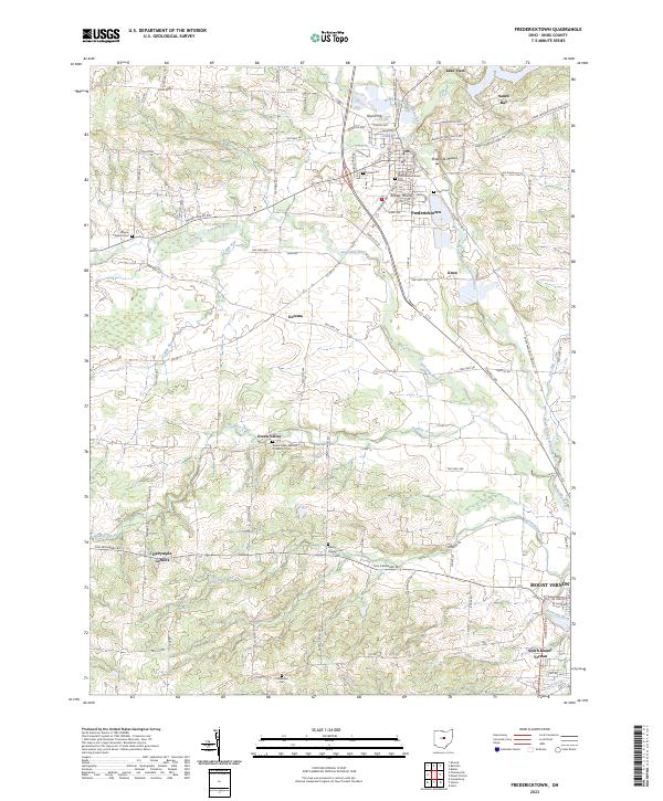 2023 Fredericktown2023 Print · USGSKnox County in the early twenty-first century maintains a landscape defined by the Kokosing River and deep-rooted rural communities. Researchers can trace ancestral sites at Old Fredericktown Cem or explore topographic landmarks like Rowley Mound and Ghost Hill.
 - 2023 Map of Homer, 2023 Print
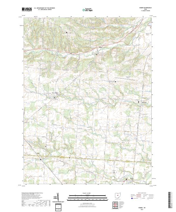 2023 Homer2023 Print · USGSKnox and Licking Counties are captured in this recent survey, showcasing the rural landscapes between the North Fork Licking River and Dry Run. Genealogists can locate family landmarks such as Homer Cem, Lock Cem, and the settlement at Five Corners.
 - 2023 Map of Hunt, 2023 Print
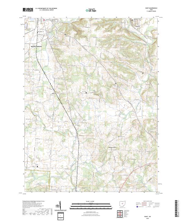 2023 Hunt2023 Print · USGSKnox County’s landscape in the early 2020s shows the convergence of academia and rural township life along the Kokosing River. Genealogists and local historians can trace family locations through numerous sites like Kenyon College, Morgan Center, and Owl Creek Cem.
 - 2023 Map of Mount Vernon, 2023 Print
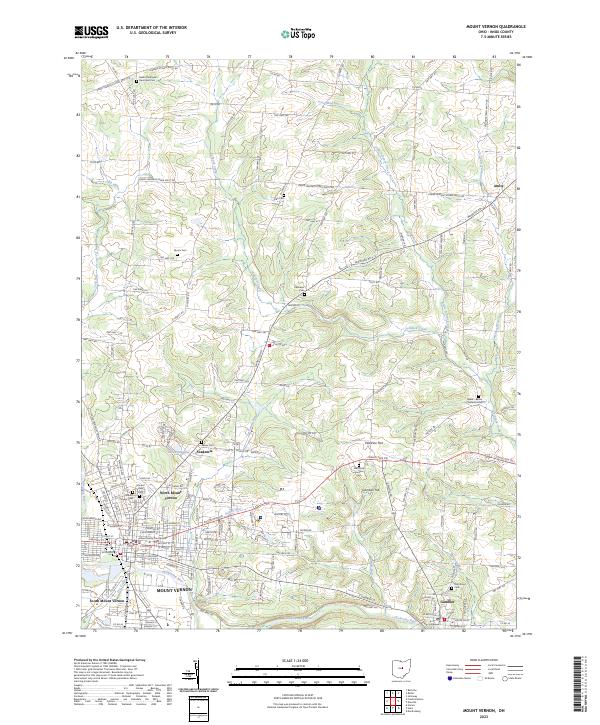 2023 Mount Vernon2023 Print · USGSMount Vernon and the surrounding Knox County landscape are documented here in the early twenty-first century as the city and nearby Gambier continue to evolve. Genealogists and local researchers can trace family plots at Mound View Cem or locate the historic Knox County Courthouse.
End of results
Showing maps 1-20 of 20
Top cities near Clinton Township
- Mount Vernon historical maps
- Howard historical maps
- Johnstown historical maps
- Fredericktown historical maps
- Utica historical maps
- Gambier historical maps
See more
Top neighborhoods of Clinton Township
Frequently asked questions
- What are the different types of historical maps available for Clinton Township?
- What is the oldest map of Clinton Township?
- Where can I purchase historical maps of Clinton Township for my home or office?
- Where can I download high-res historical maps of Clinton Township?
- Are there historical topographic maps available for Clinton Township?
- Is there historical aerial imagery available for Clinton Township?
- Where are historical maps of Clinton Township sourced from?