Old Maps of Mason Township, Ohio for Genealogy
Trace your family roots with 36 historic maps of Mason Township. These high-res maps reveal old neighborhoods, homesites, landmarks, and streets — helping you uncover where your ancestors lived and how the area evolved over time.
- Explore historic neighborhoods: Identify where your relatives may have lived in the 1800s or 1900s.
- Compare maps over time: Trace the changes in streets, buildings, and landmarks for multi-generational research.
- Perfect for genealogy & ancestry research: Used by family historians and researchers to map out lineage and migration.
These maps are an incredible resource for exploring your personal connection to Mason Township's past.
Mason Township, OH maps
(36)- 1906 Map of Athalia, 1956 Print
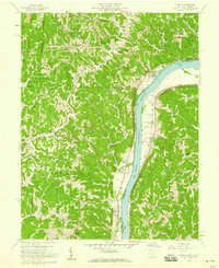
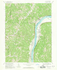
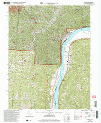
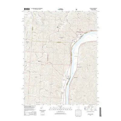
 1906 Athalia1956 Print · USGSLawrence and Gallia counties in the early 1900s are captured here as a landscape of river ferries and ridge-top farm communities. You can trace early post offices at Willowwood, follow the Baltimore and Ohio RR, or locate old river crossings like the Crown City Ferry.
 - 1908 Map of Athalia
 1908 Athalia1908 Print · USGSThe Ohio River borderlands in the early twentieth century were a network of ferry crossings and small river towns. Genealogists can trace family names and farmsteads near Athalia, Crown City, and the Baltimore and Ohio RR corridor.3 unique versions available
 - 1957 Map of Huntington, 1966 Print
 1957 Huntington1966 Print · USGSThe industrial heart of the Ohio River valley is captured here in the mid-sixties, showing the growth of Huntington and Ashland. Researchers can trace the extensive rail networks of the Chesapeake and Ohio RR and locate sites like the Chief Cornstalk Hunting Ground.3 unique versions available
 - 1958 Map of Athalia, 1959 Print
 1958 Athalia1959 Print · USGSThe Ohio River valley and the surrounding Lawrence County hill country are captured here in the late fifties. Researchers can trace the riverfront rail economy along the Baltimore and Ohio and locate landmarks like Fairland Sch No 4 and Caldwell Cem.
 - 1960 Map of Huntington
 1960 Huntington1960 Print · USGSThe tri-state river valley thrived in the late fifties as a hub of heavy industry and Appalachian rail transit. Genealogists and historians can trace the connection between river towns like Ashland and Portsmouth or locate family homesteads near Coleman Ridge.
 - 1961 Map of Mercerville, 1963 Print
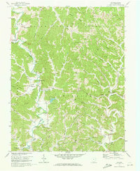
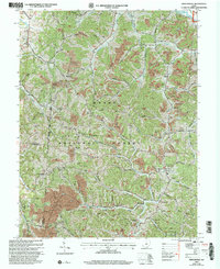
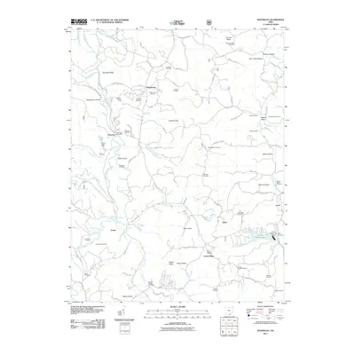
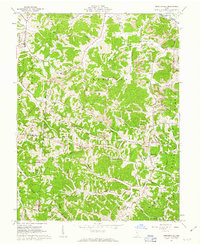 1961 Mercerville1963 Print · USGSGallia County at the start of the sixties reveals a landscape of Appalachian ridges shaped by both agriculture and industry. Researchers can trace the many rural congregations at Lincoln Chapel and Bethesda Ch, or locate family sites near Saundersville and Leaper.4 unique versions available
 - 1961 Map of Aid, 1963 Print
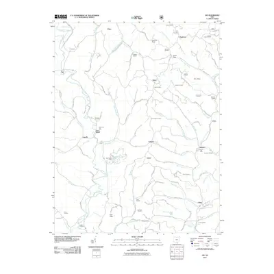
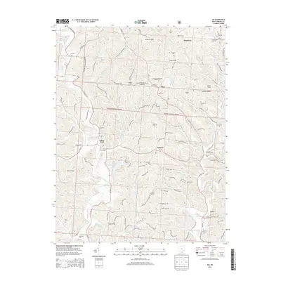
 1961 Aid1963 Print · USGSLawrence County, Ohio, was a land of timbered ridges and coal mining during the early sixties. Genealogists can trace family roots through numerous remote burial sites like Gallicat Cem or visit the Covered Bridge near Scottown.
 - 1961 Map of Waterloo, 1963 Print
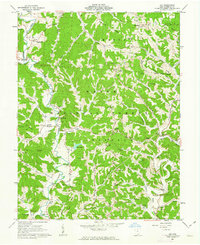
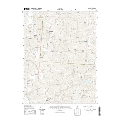
 1961 Waterloo1963 Print · USGSSouthern Ohio's ridge-and-hollow country is captured here in the early sixties as small communities and extractive industries defined the local landscape. Researchers can trace family history through sites like Saunders Cem and Mt Zion Ch or locate industrial markers like the Tipple and Strip Mine sites.4 unique versions available
 - 1968 Map of Athalia, 1970 Print
 1968 Athalia1970 Print · USGSThe Ohio River corridor comes alive in the late sixties as the riverbank settlements of Athalia and Crown City transition into the hills of the Wayne National Forest. Genealogists and historians can trace the paths of Hannan Trace Road to local landmarks like Wilma Chapel and Cremans Chapel Cem.4 unique versions available
 - 1972 Map of Aid, 1973 Print
 1972 Aid1973 Print · USGSLawrence County in the early seventies shows a landscape of deep hollows and high ridges where timber and coal industry meet rural tradition. Genealogists can locate family landmarks like Murnahan Cem, the old Covered Bridge near Scottown, and remote church sites like Pomaria Ch.4 unique versions available
 - 1976 Map of Athalia, 1979 Print
 1976 Athalia1979 Print · USGSSettlements along the winding river border between Ohio and West Virginia are captured in this mid-1970s aerial survey. Researchers can trace the development of riverside communities like Athalia and Green Bottom or the upland village of Platform.
 - 1981 Map of Ironton, 1982 Print
 1981 Ironton1982 Print · USGSThe tri-state river valley at the start of the eighties shows a landscape shaped by heavy industry, atomic energy, and sprawling national forests. Researchers can trace the legacy of iron production at Harrison Furnace or follow the historic rail lines of the C & O RR and N & W RR.
 - 2002 Map of Waterloo, 2006 Print
 2002 Waterloo2006 Print · USGSThe rugged ridges of Lawrence and Gallia counties are seen here in the early 2000s within the Wayne National Forest. Genealogists can trace family names through Waterloo Cem and find early community hubs like Flag Spring Ch and Arabia.
 - 2002 Map of Aid, 2006 Print
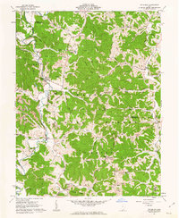
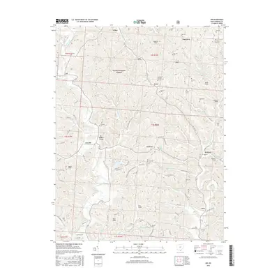
 2002 Aid2006 Print · USGSLawrence County at the start of the 21st century reveals a landscape where Wayne National Forest wilderness meets a long history of ridge-top farming and coal mining. Researchers can trace family sites near Aid Cem and Linnville, or locate early educational landmarks like Township Sch No 2 and the Symmes Valley High Sch.
 - 2002 Map of Athalia, 2006 Print
 2002 Athalia2006 Print · USGSThe Ohio River valley at the start of the 21st century reveals a landscape of riverside villages and upland forest reserves. Genealogists and historians can trace community roots through numerous country churches like Wilma Chapel and old schools including Fairland Sch No 3.
 - 2002 Map of Mercerville, 2006 Print
 2002 Mercerville2006 Print · USGSGallia County at the turn of the millennium shows a rural landscape transitioning from industrial extraction to conservation within the Wayne National Forest. Researchers can locate decades of local history at Mercerville, tracing family roots through Ridgelawn Cem, White Ch Cem, and the Hannah-Trace High Sch.
 - 2011 Map of Athalia, 2011 Print
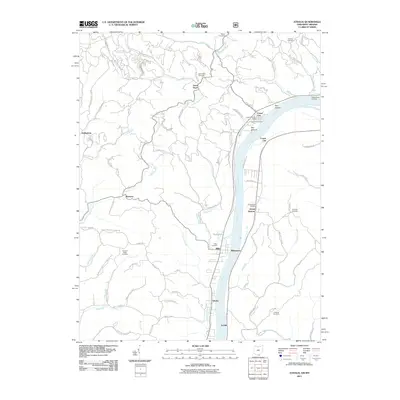 2011 Athalia2011 Print · USGSCovers Mason Township, including Crown City, Athalia, and other nearby areas
 - 2011 Map of Mercerville, 2011 Print
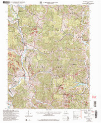
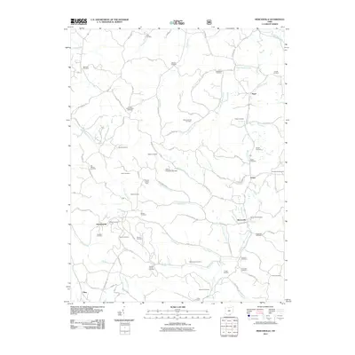 2011 Mercerville2011 Print · USGSCovers Mason Township, including Guyan Township, Walnut Township, and other nearby areas
 - 2011 Map of Aid, 2011 Print
 2011 Aid2011 Print · USGSCovers Mason Township, including Aid, Fayette Township, and other nearby areas
 - 2011 Map of Waterloo, 2011 Print
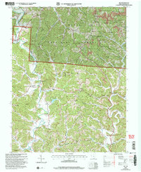
 2011 Waterloo2011 Print · USGSCovers Mason Township, including Symmes Township, Walnut Township, and other nearby areas
 - 2013 Map of Waterloo, 2013 Print
 2013 Waterloo2013 Print · USGSCovers Mason Township, including Symmes Township, Walnut Township, and other nearby areas
 - 2013 Map of Mercerville, 2013 Print
 2013 Mercerville2013 Print · USGSCovers Mason Township, including Guyan Township, Walnut Township, and other nearby areas
 - 2013 Map of Athalia, 2013 Print
 2013 Athalia2013 Print · USGSCovers Mason Township, including Crown City, Athalia, and other nearby areas
 - 2013 Map of Aid, 2013 Print
 2013 Aid2013 Print · USGSCovers Mason Township, including Aid, Fayette Township, and other nearby areas
 - 2016 Map of Aid, 2016 Print
 2016 Aid2016 Print · USGSCovers Mason Township, including Aid, Fayette Township, and other nearby areas
Showing maps 1-25 of 36
Top cities near Mason Township
- Huntington historical maps
- Ashland historical maps
- Rome historical maps
- Gallipolis historical maps
- South Point historical maps
- Kenova historical maps
See more
Top neighborhoods of Mason Township
- Rappsburg historical maps
- Suiter historical maps
- Wilgus historical maps
- Okey historical maps
- Saundersville historical maps
- Greasy Ridge historical maps
See more
Frequently asked questions
- What are the different types of historical maps available for Mason Township?
- What is the oldest map of Mason Township?
- Where can I purchase historical maps of Mason Township for my home or office?
- Where can I download high-res historical maps of Mason Township?
- Are there historical topographic maps available for Mason Township?
- Is there historical aerial imagery available for Mason Township?
- Where are historical maps of Mason Township sourced from?