2000s (21st Century) Maps of LaGrange Township, Ohio
Explore 20 historic maps of LaGrange Township from the 2000s (21st Century). These maps offer a rare glimpse into what life looked like during the 2000s — showing old roads, neighborhoods, homes, and landmarks that have changed or disappeared over time.
Whether you're researching your family's past, planning a metal detecting trip, or studying how LaGrange Township's landscape evolved across the 2000s, these high-resolution maps are a powerful tool for exploring the history of this region.
- Focus on a specific era: All maps on this page are from the 2000s, giving you a focused view of this time period.
- See what’s changed: Compare century-old streets, trails, and buildings to today's modern landscape using overlays and satellite layers.
- Research with precision: Use these maps for genealogy, historical research, land use analysis, or educational projects.
- View, download, or print: Maps are fully viewable online in high resolution, and can be downloaded or printed for your own records.
Start exploring LaGrange Township's history through authentic maps from the 2000s. This is your window into the past.
LaGrange Township, OH maps
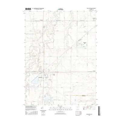
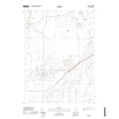
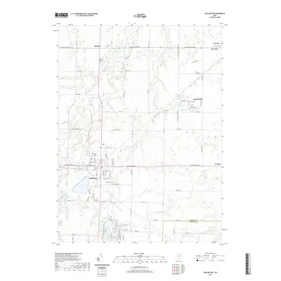
(20)- 2010 Map of Wellington, 2010 Print
 2010 Wellington2010 Print · USGSCovers LaGrange Township, including Wellington, LaGrange, and other nearby areas
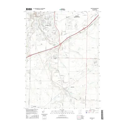
 - 2010 Map of Oberlin, 2010 Print
 2010 Oberlin2010 Print · USGSCovers LaGrange Township, including Elyria, Oberlin, and other nearby areas
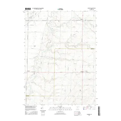
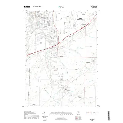
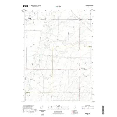
 - 2010 Map of Lagrange, 2010 Print
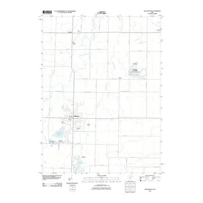
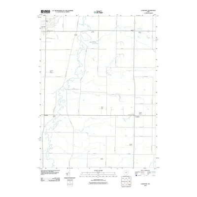 2010 Lagrange2010 Print · USGSCovers LaGrange Township, including Litchfield, LaGrange, and other nearby areas
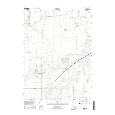
 - 2010 Map of Grafton, 2010 Print
 2010 Grafton2010 Print · USGSCovers LaGrange Township, including Elyria, North Ridgeville, and other nearby areas
 - 2013 Map of Lagrange, 2013 Print
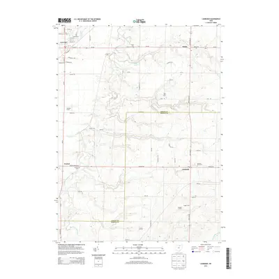 2013 Lagrange2013 Print · USGSCovers LaGrange Township, including Litchfield, LaGrange, and other nearby areas
 - 2013 Map of Wellington, 2013 Print
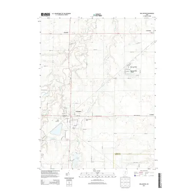 2013 Wellington2013 Print · USGSCovers LaGrange Township, including Wellington, LaGrange, and other nearby areas
 - 2013 Map of Oberlin, 2013 Print
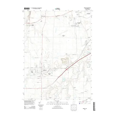 2013 Oberlin2013 Print · USGSCovers LaGrange Township, including Elyria, Oberlin, and other nearby areas
 - 2013 Map of Grafton, 2013 Print
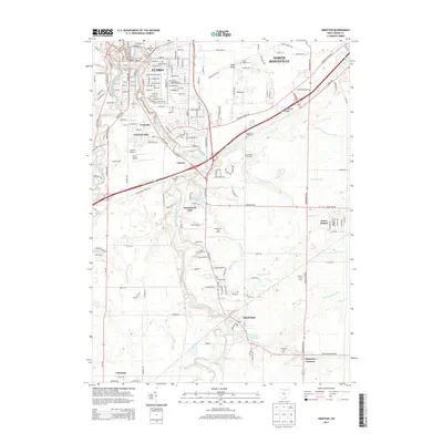 2013 Grafton2013 Print · USGSCovers LaGrange Township, including Elyria, North Ridgeville, and other nearby areas
 - 2016 Map of Wellington, 2016 Print
 2016 Wellington2016 Print · USGSCovers LaGrange Township, including Wellington, LaGrange, and other nearby areas
 - 2016 Map of Lagrange, 2016 Print
 2016 Lagrange2016 Print · USGSCovers LaGrange Township, including Litchfield, LaGrange, and other nearby areas
 - 2016 Map of Oberlin, 2016 Print
 2016 Oberlin2016 Print · USGSCovers LaGrange Township, including Elyria, Oberlin, and other nearby areas
 - 2016 Map of Grafton, 2016 Print
 2016 Grafton2016 Print · USGSCovers LaGrange Township, including Elyria, North Ridgeville, and other nearby areas
 - 2019 Map of Oberlin, 2019 Print
 2019 Oberlin2019 Print · USGSCovers LaGrange Township, including Elyria, Oberlin, and other nearby areas
 - 2019 Map of Grafton, 2019 Print
 2019 Grafton2019 Print · USGSCovers LaGrange Township, including Elyria, North Ridgeville, and other nearby areas
 - 2019 Map of Wellington, 2019 Print
 2019 Wellington2019 Print · USGSCovers LaGrange Township, including Wellington, LaGrange, and other nearby areas
 - 2019 Map of Lagrange, 2019 Print
 2019 Lagrange2019 Print · USGSCovers LaGrange Township, including Litchfield, LaGrange, and other nearby areas
 - 2023 Map of Oberlin, 2023 Print
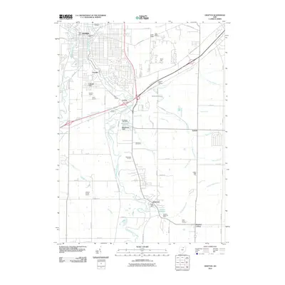
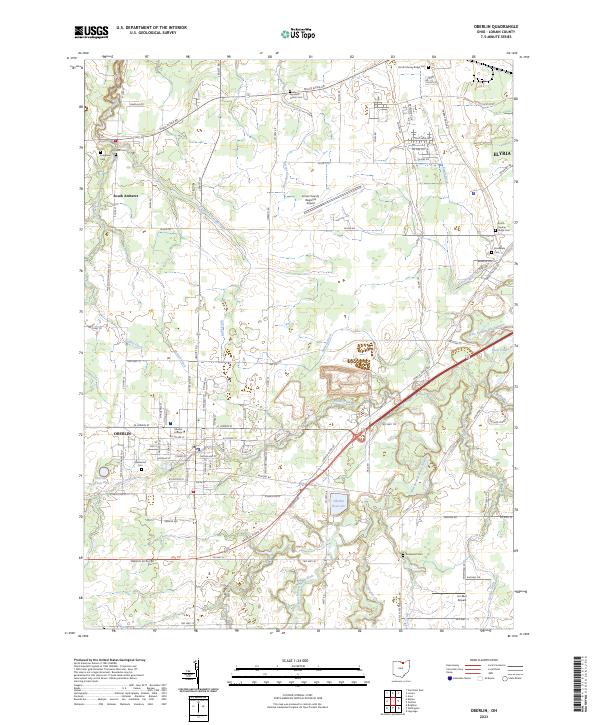 2023 Oberlin2023 Print · USGSIn the Lorain County heartland, this contemporary survey shows the academic and residential growth of the twenty-first century. Genealogists can locate family sites across numerous grounds like Westwood Cem and Agudath Achim Cem, while tracing the course of Plum Creek.
 - 2023 Map of Grafton, 2023 Print
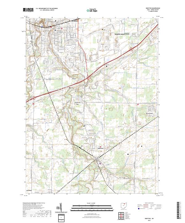 2023 Grafton2023 Print · USGSLorain County’s glacial ridges and river branches define the landscape between Elyria and Grafton in the early twenty-first century. Researchers can trace family sites at Laporte Cem, locate Saint Mary Catholic, and follow the West Branch Black River.
 - 2023 Map of Wellington, 2023 Print
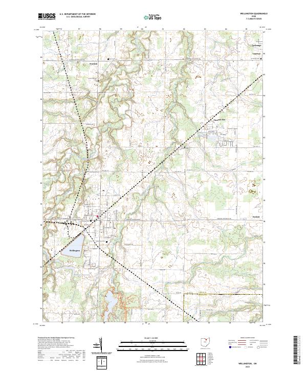 2023 Wellington2023 Print · USGSSouthern Lorain County is shown in detail during the early 2020s, centered on the historic village of Wellington. Researchers can locate numerous family burial grounds including Pioneer Cem and Jackson Cem or trace the path of the West Branch Black River.
 - 2023 Map of Lagrange, 2023 Print
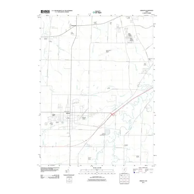
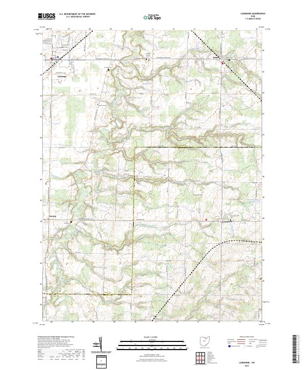 2023 Lagrange2023 Print · USGSThis rural portion of Lorain and Medina Counties comes into focus as it appeared in the early 2020s, centered on the village of LaGrange. Researchers can trace old family footprints at Knowles Cem or follow the path of the East Branch Black River through the townships.
End of results
Showing maps 1-20 of 20
Top cities near LaGrange Township
- Lorain historical maps
- Elyria historical maps
- North Ridgeville historical maps
- Westlake historical maps
- North Olmsted historical maps
- Medina historical maps
See more
Top neighborhoods of LaGrange Township
Frequently asked questions
- What are the different types of historical maps available for LaGrange Township?
- What is the oldest map of LaGrange Township?
- Where can I purchase historical maps of LaGrange Township for my home or office?
- Where can I download high-res historical maps of LaGrange Township?
- Are there historical topographic maps available for LaGrange Township?
- Is there historical aerial imagery available for LaGrange Township?
- Where are historical maps of LaGrange Township sourced from?