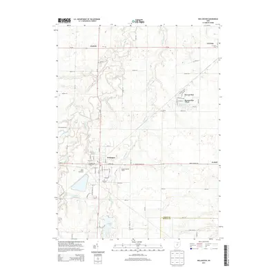
2013 Map of Wellington
USGS Topo · Published 2013About this map
Wellington serves as the focal point of this Lorain County landscape, where the confluence of several water systems—including Charlemont Cr, Wellington Cr, and the West Branch Black River—defines the local topography. The map illustrates a developed rural corridor anchored by the Lorain County Fairgrounds and the Reader-Botsford Airport. Cultural history is well-preserved through numerous burial sites such as Greenwood Cem, Pioneer Cem, and the S Pittsfield Cem further north.
Find a feature on this map
53 named features on this map. Tap any name to fly to it.
Don’t see what you’re looking for? This feature index may not catch every label — zoom into the map to look around manually.
Map Details
Editions of this 2013 Wellington Map
This is the sole edition of this map. No revisions or reprints were ever made.
Other maps of this area

1901 · Oberlin
USGS Topo · 1:62,500

1903 · Vermilion
USGS Topo · 1:62,500

1903 · Oberlin
USGS Topo · 1:62,500

1904 · Wellington
USGS Topo · 1:62,500

1906 · Wellington
USGS Topo · 1:62,500

1908 · New London
USGS Topo · 1:62,500

1953 · Grafton
USGS Topo · 1:24,000

1956 · Toledo
USGS Topo · 1:250,000

1959 · Kipton
USGS Topo · 1:24,000

1960 · Oberlin
USGS Topo · 1:24,000