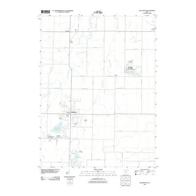
2010 Map of Wellington
USGS Topo · Published 2010About this map
Wellington and Pittsfield serve as the primary hubs in this part of Lorain County, where the landscape is defined by the winding paths of the West Branch Black River and Wellington Creek. The southern portion of the map is dominated by the recreational and conservation lands of Findley State Park, centered around Findley Lake and its associated dam. This area reflects a balance between rural agricultural layout—evident in the grid of roads like Peck-Wadsworth Rd and Whitney Rd—and essential community infrastructure. Genealogists will find a significant concentration of burial grounds throughout the townships, including Greenwood Cemetery, South Pittsfield Cemetery, East Cemetery, and Jackson Cemetery. Notable modern developments such as Pheasant Run Village and the Wellington Upground Reservoir illustrate the area's evolving water management and residential footprint during the early 21st century.
Find a feature on this map
41 named features on this map. Tap any name to fly to it.
Don’t see what you’re looking for? This feature index may not catch every label — zoom into the map to look around manually.
Map Details
Editions of this 2010 Wellington Map
This is the sole edition of this map. No revisions or reprints were ever made.
Other maps of this area

1901 · Oberlin
USGS Topo · 1:62,500

1903 · Vermilion
USGS Topo · 1:62,500

1903 · Oberlin
USGS Topo · 1:62,500

1904 · Wellington
USGS Topo · 1:62,500

1906 · Wellington
USGS Topo · 1:62,500

1908 · New London
USGS Topo · 1:62,500

1953 · Grafton
USGS Topo · 1:24,000

1956 · Toledo
USGS Topo · 1:250,000

1959 · Kipton
USGS Topo · 1:24,000

1960 · Oberlin
USGS Topo · 1:24,000