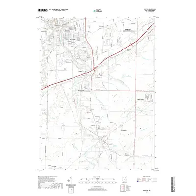
2019 Map of Grafton
USGS Topo · Published 2019About this map
Elyria serves as the northern anchor of this landscape, where the East Branch Black River and West Branch Black River converge within a corridor of suburban growth and institutional infrastructure. The map reveals a transition from the urban density of the Lorain County Justice Center to the residential enclaves of Brentwood Lake and Eaton Estates. A distinct geological and cultural feature, Butternut Ridge, cuts diagonally across the terrain, accompanied by a string of local landmarks including the Butternut Ridge Cem and Elyria Airport.
Find a feature on this map
42 named features on this map. Tap any name to fly to it.
Don’t see what you’re looking for? This feature index may not catch every label — zoom into the map to look around manually.
Map Details
Editions of this 2019 Grafton Map
This is the sole edition of this map. No revisions or reprints were ever made.
Other maps of this area

1901 · Oberlin
USGS Topo · 1:62,500

1902 · Berea
USGS Topo · 1:62,500

1903 · Oberlin
USGS Topo · 1:62,500

1904 · Berea
USGS Topo · 1:62,500

1904 · Medina
USGS Topo · 1:62,500

1904 · Wellington
USGS Topo · 1:62,500

1906 · Medina
USGS Topo · 1:62,500

1906 · Wellington
USGS Topo · 1:62,500

1950 · Cleveland
USGS Topo · 1:250,000

1953 · West View
USGS Topo · 1:24,000