2020s Maps of Toledo, Ohio
Explore 5 historic maps of Toledo from the 2020s. These maps offer a rare glimpse into what life looked like during the 2020s — showing old roads, neighborhoods, homes, and landmarks that have changed or disappeared over time.
Whether you're researching your family's past, planning a metal detecting trip, or studying how Toledo's landscape evolved across the 2020s, these high-resolution maps are a powerful tool for exploring the history of this region.
- Focus on a specific era: All maps on this page are from the 2020s, giving you a focused view of this time period.
- See what’s changed: Compare century-old streets, trails, and buildings to today's modern landscape using overlays and satellite layers.
- Research with precision: Use these maps for genealogy, historical research, land use analysis, or educational projects.
- View, download, or print: Maps are fully viewable online in high resolution, and can be downloaded or printed for your own records.
Start exploring Toledo's history through authentic maps from the 2020s. This is your window into the past.
Toledo, OH maps
(5)- 2023 Map of Oregon, 2023 Print
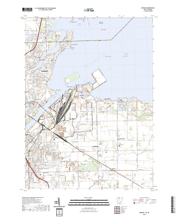 2023 Oregon2023 Print · USGSThe industrial shoreline of Lake Erie and the Maumee River are captured here in the early twenty-first century. Genealogists and local historians can trace family plots at Beth Shalom Cem or explore the waterfront layouts of Harbor View and Point Place.
 - 2023 Map of Maumee, 2023 Print
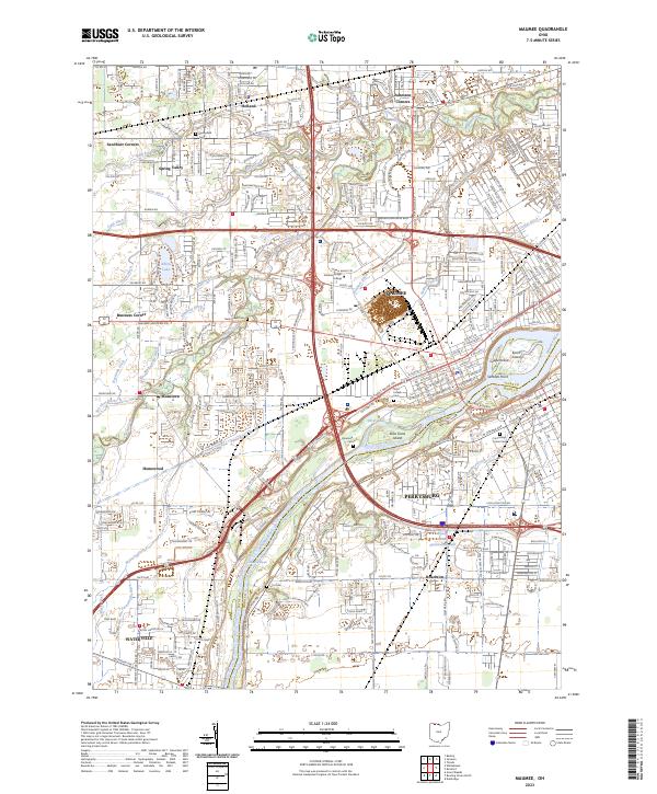 2023 Maumee2023 Print · USGSThe riverfront communities of Maumee and Perrysburg are shown in the 2020s, anchored by the river's distinctive islands and rapids. Genealogists can trace family sites at Riverside Cem and Lyon Cem or explore the boundaries of the Maumee Reserve.
 - 2023 Map of Rossford, 2023 Print
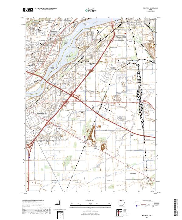 2023 Rossford2023 Print · USGSThe Maumee River corridor south of Toledo is shown here in its modern industrial and residential complexity. Researchers can trace the layout of family cemeteries and institutions, from the Toledo State Hospital Old Cem to the neighborhoods of Rossford and Lime City.
 - 2023 Map of Sylvania, 2023 Print
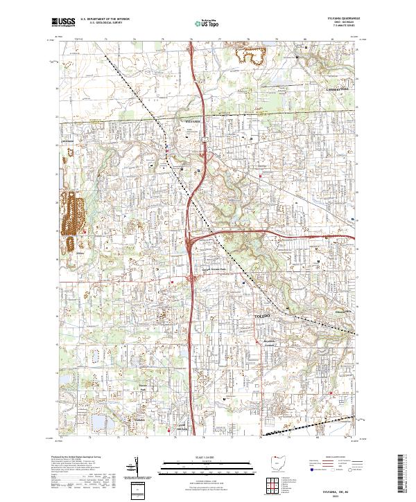 2023 Sylvania2023 Print · USGSCrossing the Michigan-Ohio border in the early twenty-first century, this area shows the dense suburban growth between Toledo and Sylvania. Researchers can trace local history through Toledo Suburban Airport, Lourdes University, and family plots at Van Auken Cem.
 - 2023 Map of Toledo, 2023 Print
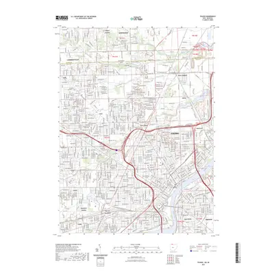 2023 Toledo2023 Print · USGSToledo and the Maumee River waterfront appear in extensive detail during the early twenty-first century. Researchers can trace the massive rail infrastructure at Air Line Junction and locate family landmarks like Calvary Cem or the University of Toledo.
End of results
Showing maps 1-5 of 5
Top cities near Toledo
- Bedford Township historical maps
- Perrysburg historical maps
- Oregon historical maps
- Sylvania historical maps
- Monroe Charter Township historical maps
- Maumee historical maps
See more
Top neighborhoods of Toledo
- Ironville historical maps
- Shore Acres historical maps
- Air Line Junction historical maps
- Ferndale historical maps
- Fitch historical maps
- Hopewell Heights historical maps
See more
Frequently asked questions
- What are the different types of historical maps available for Toledo?
- What is the oldest map of Toledo?
- Where can I purchase historical maps of Toledo for my home or office?
- Where can I download high-res historical maps of Toledo?
- Are there historical topographic maps available for Toledo?
- Is there historical aerial imagery available for Toledo?
- Where are historical maps of Toledo sourced from?