Old Maps of Paint Township, Ohio for Genealogy
Trace your family roots with 19 historic maps of Paint Township. These high-res maps reveal old neighborhoods, homesites, landmarks, and streets — helping you uncover where your ancestors lived and how the area evolved over time.
- Explore historic neighborhoods: Identify where your relatives may have lived in the 1800s or 1900s.
- Compare maps over time: Trace the changes in streets, buildings, and landmarks for multi-generational research.
- Perfect for genealogy & ancestry research: Used by family historians and researchers to map out lineage and migration.
These maps are an incredible resource for exploring your personal connection to Paint Township's past.
Paint Township, OH maps
(19)- 1907 Map of London, 1940 Print
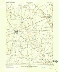 1907 London1940 Print · USGSMadison County at the turn of the century shows a landscape transitioning through the height of the electric railway era. Genealogists can trace the rural schoolhouses like Dunn School and Glade School or locate family sites near Lilly Chapel and Lafayette.2 unique versions available
 - 1907 Map of South Charleston, 1943 Print
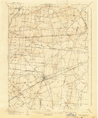 1907 South Charleston1943 Print · USGSThe Clark County countryside at the turn of the century shows a landscape dominated by rail travel and local school districts. Genealogists can locate family-named landmarks such as Yeazel School, Pancake Chapel, and the settlement of Dolly Varden.2 unique versions available
 - 1947 Map of Columbus, 1948 Print
 1947 Columbus1948 Print · USGSCentral Ohio in the late 1940s is captured in this survey, showing the post-war transition of its rail hubs and military airfield expansions. Genealogists and historians can trace the paths of the Ohio Canal, the Pennsylvania RR lines, and the Camp Sherman Military Reservation.
 - 1961 Map of Columbus
 1961 Columbus1961 Print · USGSCentral and Southern Ohio are captured here in the early sixties, as the region's industrial rail hubs and military bases reached their peak. Genealogists and historians can trace the transition from urban Columbus to rural townships along the Scioto River, locating Lockbourne USAF and old junctions like Washington Court House.
 - 1961 Map of Florence, 1962 Print
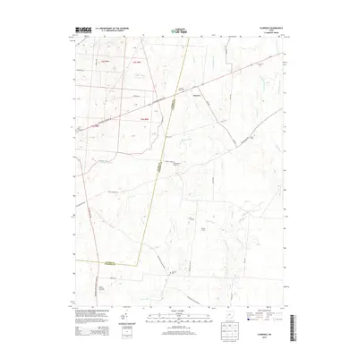
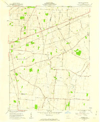 1961 Florence1962 Print · USGSThe Madison County countryside in the early sixties is a detailed network of family farm lanes and rural church yards. Genealogists can trace family names through landmarks like Pancake Cem, Williams Chapel, and Selsor Moon Road.3 unique versions available
 - 1961 Map of Walnut Run, 1962 Print
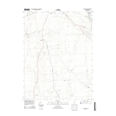
 1961 Walnut Run1962 Print · USGSMadison County's rural landscape is captured in the early sixties, showing a transition from traditional farming to modern infrastructure. Genealogists can locate family burial grounds like Kirkwood Cem and Evans Cem alongside the waters of Walnut Run.2 unique versions available
 - 1962 Map of Columbus
 1962 Columbus1962 Print · USGSCentral Ohio during the early sixties reveals a transition from the industrial corridors of Columbus to the forested ridges of the south. Genealogists and historians can trace the rail networks of the Baltimore & Ohio RR and find local landmarks like Washington Court House and Camp Sherman Military Reservation.
 - 1967 Map of Columbus, 1969 Print
 1967 Columbus1969 Print · USGSCentral Ohio during the late sixties serves as a vital corridor of rail and aviation, from the industrial streets of Springfield to the hangar lines of Lockbourne Air Force Base. Genealogists and researchers can trace the growth of towns like Circleville and London or locate rural landmarks such as St Paul church and the London Correctional Institution.2 unique versions available
 - 1986 Map of Springfield
 1986 Springfield1986 Print · USGSCentral Ohio in the mid-1980s shows the bustling rail-and-road network connecting Springfield and Xenia to the western outskirts of Columbus. Researchers can trace old family sites and transit routes through Glen Haven Mem Cem, Madison Lake State Park, and the CONRAIL line.2 unique versions available
 - 2010 Map of Walnut Run, 2010 Print
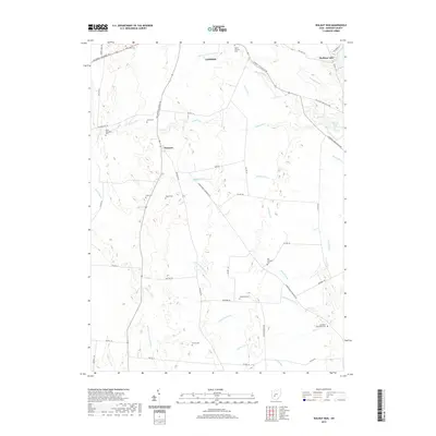
 2010 Walnut Run2010 Print · USGSCovers Paint Township, including London, Stokes Township, and other nearby areas
 - 2010 Map of Florence, 2010 Print
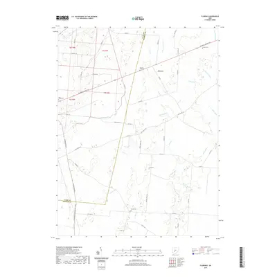
 2010 Florence2010 Print · USGSCovers Paint Township, including Stokes Township, Union Township, and other nearby areas
 - 2013 Map of Walnut Run, 2013 Print
 2013 Walnut Run2013 Print · USGSCovers Paint Township, including London, Stokes Township, and other nearby areas
 - 2013 Map of Florence, 2013 Print
 2013 Florence2013 Print · USGSCovers Paint Township, including Stokes Township, Union Township, and other nearby areas
 - 2016 Map of Walnut Run, 2016 Print
 2016 Walnut Run2016 Print · USGSCovers Paint Township, including London, Stokes Township, and other nearby areas
 - 2016 Map of Florence, 2016 Print
 2016 Florence2016 Print · USGSCovers Paint Township, including Stokes Township, Union Township, and other nearby areas
 - 2019 Map of Florence, 2019 Print
 2019 Florence2019 Print · USGSCovers Paint Township, including Stokes Township, Union Township, and other nearby areas
 - 2019 Map of Walnut Run, 2019 Print
 2019 Walnut Run2019 Print · USGSCovers Paint Township, including London, Stokes Township, and other nearby areas
 - 2023 Map of Florence, 2023 Print
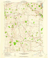
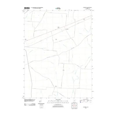
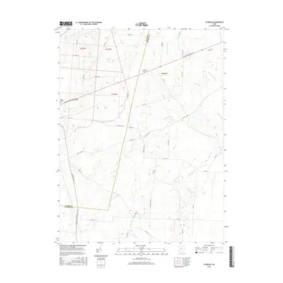
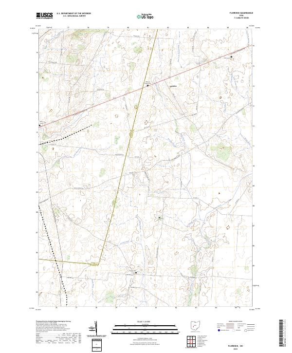 2023 Florence2023 Print · USGSMadison County's agricultural heartland is documented here in the early twenty-first century, showing the enduring rural layout between London and South Charleston. Genealogists can locate several historic burial grounds, including Saint Charles Cem and Williams Chapel Cem, along with the headwaters of the Little Miami River.
 - 2023 Map of Walnut Run, 2023 Print
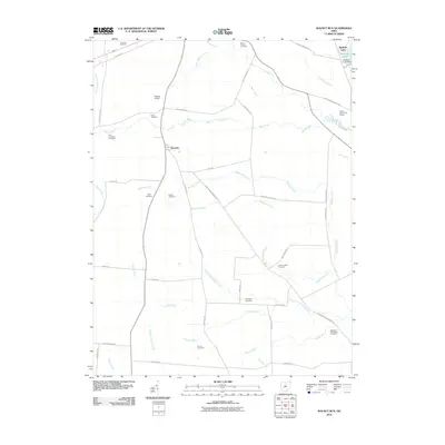
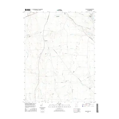
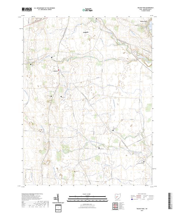 2023 Walnut Run2023 Print · USGSMadison County's agricultural heartland is documented here in the early twenty-first century, showing the evolved landscape of the London area. Genealogists can trace family landmarks and burial sites like Kilgore Cem, Paint Township Cem, and the waters of Madison Lake.
End of results
Showing maps 1-19 of 19
Top cities near Paint Township
- Springfield historical maps
- London historical maps
- West Jefferson historical maps
- Harmony historical maps
- Jamestown historical maps
- Mount Sterling historical maps
See more
Top neighborhoods of Paint Township
Frequently asked questions
- What are the different types of historical maps available for Paint Township?
- What is the oldest map of Paint Township?
- Where can I purchase historical maps of Paint Township for my home or office?
- Where can I download high-res historical maps of Paint Township?
- Are there historical topographic maps available for Paint Township?
- Is there historical aerial imagery available for Paint Township?
- Where are historical maps of Paint Township sourced from?