2000s (21st Century) Maps of Pleasant Township, Ohio
Explore 20 historic maps of Pleasant Township from the 2000s (21st Century). These maps offer a rare glimpse into what life looked like during the 2000s — showing old roads, neighborhoods, homes, and landmarks that have changed or disappeared over time.
Whether you're researching your family's past, planning a metal detecting trip, or studying how Pleasant Township's landscape evolved across the 2000s, these high-resolution maps are a powerful tool for exploring the history of this region.
- Focus on a specific era: All maps on this page are from the 2000s, giving you a focused view of this time period.
- See what’s changed: Compare century-old streets, trails, and buildings to today's modern landscape using overlays and satellite layers.
- Research with precision: Use these maps for genealogy, historical research, land use analysis, or educational projects.
- View, download, or print: Maps are fully viewable online in high resolution, and can be downloaded or printed for your own records.
Start exploring Pleasant Township's history through authentic maps from the 2000s. This is your window into the past.
Pleasant Township, OH maps
(20)- 2010 Map of Mount Sterling, 2010 Print
 2010 Mount Sterling2010 Print · USGSCovers Pleasant Township, including Mount Sterling, Madison Mills, and other nearby areas
 - 2010 Map of Five Points, 2010 Print
 2010 Five Points2010 Print · USGSCovers Pleasant Township, including Five Points, Darby Township, and other nearby areas
 - 2010 Map of Harrisburg, 2010 Print
 2010 Harrisburg2010 Print · USGSCovers Pleasant Township, including Orient, Derby, and other nearby areas
 - 2010 Map of Big Plain, 2010 Print
 2010 Big Plain2010 Print · USGSCovers Pleasant Township, including Chrisman, Range Township, and other nearby areas
 - 2013 Map of Five Points, 2013 Print
 2013 Five Points2013 Print · USGSCovers Pleasant Township, including Five Points, Darby Township, and other nearby areas
 - 2013 Map of Big Plain, 2013 Print
 2013 Big Plain2013 Print · USGSCovers Pleasant Township, including Chrisman, Range Township, and other nearby areas
 - 2013 Map of Mount Sterling, 2013 Print
 2013 Mount Sterling2013 Print · USGSCovers Pleasant Township, including Mount Sterling, Madison Mills, and other nearby areas
 - 2013 Map of Harrisburg, 2013 Print
 2013 Harrisburg2013 Print · USGSCovers Pleasant Township, including Orient, Derby, and other nearby areas
 - 2016 Map of Harrisburg, 2016 Print
 2016 Harrisburg2016 Print · USGSCovers Pleasant Township, including Orient, Derby, and other nearby areas
 - 2016 Map of Mount Sterling, 2016 Print
 2016 Mount Sterling2016 Print · USGSCovers Pleasant Township, including Mount Sterling, Madison Mills, and other nearby areas
 - 2016 Map of Big Plain, 2016 Print
 2016 Big Plain2016 Print · USGSCovers Pleasant Township, including Chrisman, Range Township, and other nearby areas
 - 2016 Map of Five Points, 2016 Print
 2016 Five Points2016 Print · USGSCovers Pleasant Township, including Five Points, Darby Township, and other nearby areas
 - 2019 Map of Harrisburg, 2019 Print
 2019 Harrisburg2019 Print · USGSCovers Pleasant Township, including Orient, Derby, and other nearby areas
 - 2019 Map of Mount Sterling, 2019 Print
 2019 Mount Sterling2019 Print · USGSCovers Pleasant Township, including Mount Sterling, Madison Mills, and other nearby areas
 - 2019 Map of Five Points, 2019 Print
 2019 Five Points2019 Print · USGSCovers Pleasant Township, including Five Points, Darby Township, and other nearby areas
 - 2019 Map of Big Plain, 2019 Print
 2019 Big Plain2019 Print · USGSCovers Pleasant Township, including Chrisman, Range Township, and other nearby areas
 - 2023 Map of Big Plain, 2023 Print
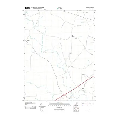
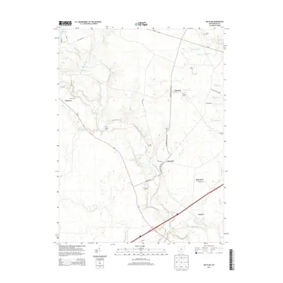
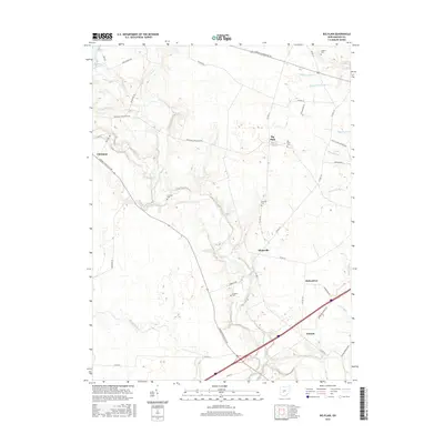
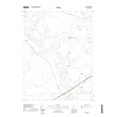
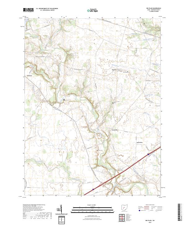 2023 Big Plain2023 Print · USGSMadison County's fertile plains are captured here in the early twenty-first century, showing a landscape shaped by rural industry and family legacy. Researchers can locate small family plots like Timmons Cem and the rural community at Kiousville.
 - 2023 Map of Mount Sterling, 2023 Print
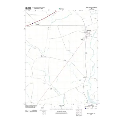
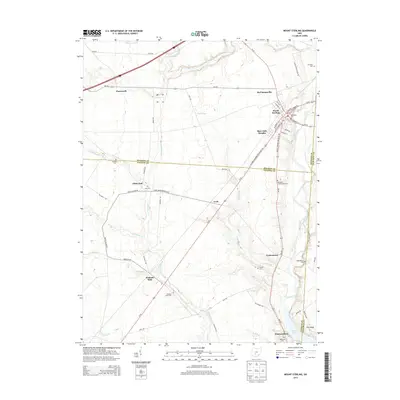
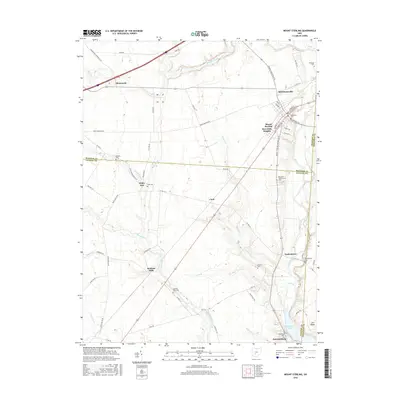
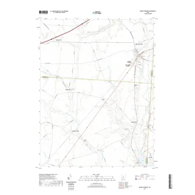
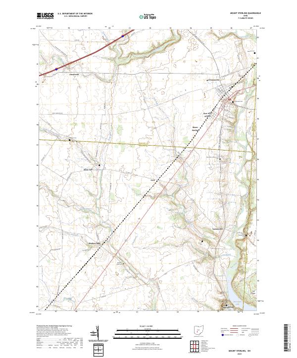 2023 Mount Sterling2023 Print · USGSThe tri-county border lands of Madison, Fayette, and Pickaway counties are documented here in the early twenty-first century. Genealogists and local historians can trace family roots at the Madison Mills Cem, Leavell Cem, and in small settlements like Yankeetown and Cook.
 - 2023 Map of Harrisburg, 2023 Print
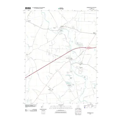
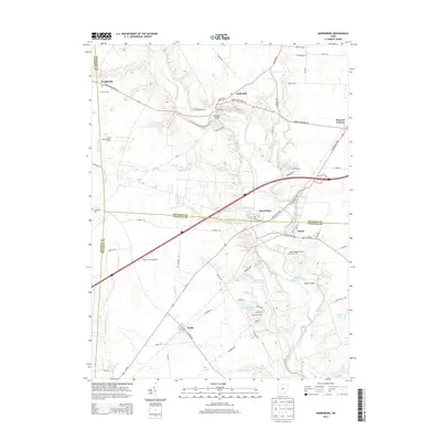
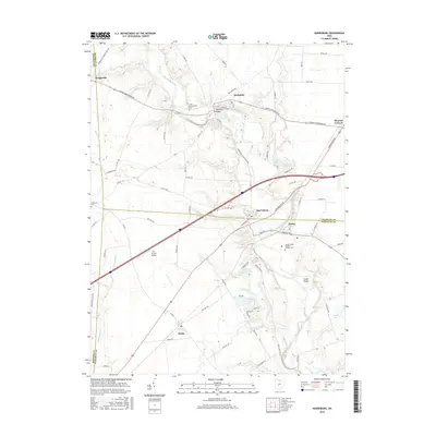
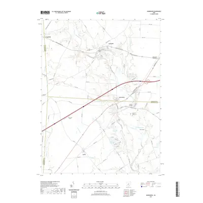
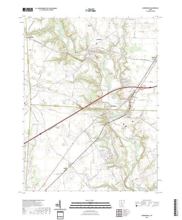 2023 Harrisburg2023 Print · USGSHarrisburg and the Big Darby Creek corridor are captured here during a period of steady growth along the Franklin and Pickaway county lines. Researchers can trace family history at the Little Pennsylvania Cem or locate the site of the Orient Feeble Minded Institute Cem.
 - 2023 Map of Five Points, 2023 Print
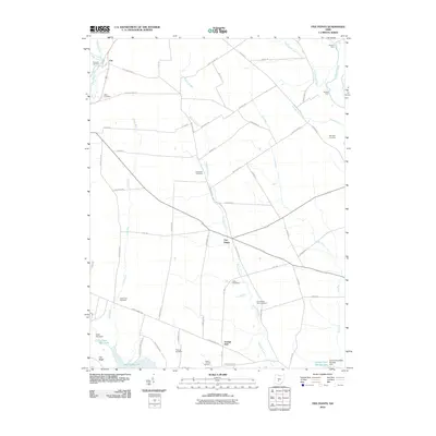
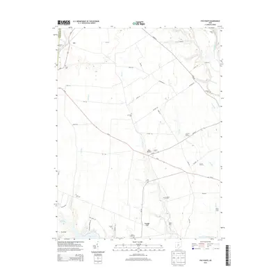
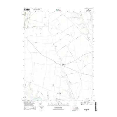
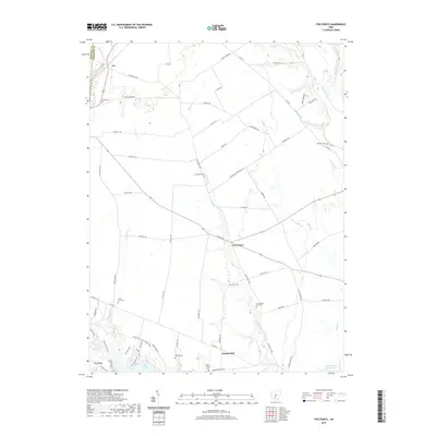
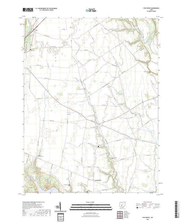 2023 Five Points2023 Print · USGSPickaway County’s agricultural landscape is documented here in the early twenty-first century, showing a region defined by family farmsteads and historic burial grounds. Researchers can trace ancestral sites like Greenland Cem and Shilo Cem or locate old community hubs such as Era and Grange Hall.
End of results
Showing maps 1-20 of 20
Top cities near Pleasant Township
- Columbus historical maps
- Grove City historical maps
- Washington Court House historical maps
- London historical maps
- West Jefferson historical maps
- Mount Sterling historical maps
See more
Top neighborhoods of Pleasant Township
- McClimansville historical maps
- Burr Oaks Heights historical maps
- Antioch historical maps
- McKendree historical maps
- Mount Sterling historical maps
Frequently asked questions
- What are the different types of historical maps available for Pleasant Township?
- What is the oldest map of Pleasant Township?
- Where can I purchase historical maps of Pleasant Township for my home or office?
- Where can I download high-res historical maps of Pleasant Township?
- Are there historical topographic maps available for Pleasant Township?
- Is there historical aerial imagery available for Pleasant Township?
- Where are historical maps of Pleasant Township sourced from?