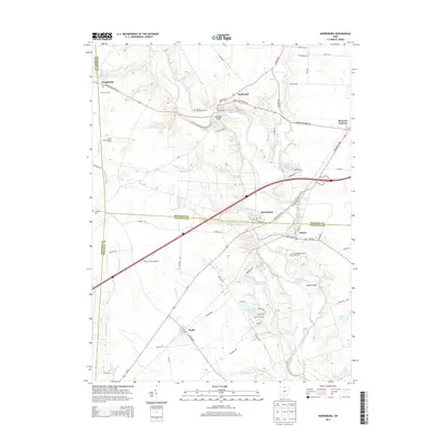
2013 Map of Harrisburg
USGS Topo · Published 2013About this map
Big Darby Creek serves as the central geographic corridor for this region where Franklin, Madison, and Pickaway counties meet. The landscape is defined by its agricultural character and small, historic crossroads communities such as Harrisburg, Orient, and Derby. Notable institutional and local history sites are visible, including the Orient Feeble Minded Institute Cem and the Little Pennsylvania Cem, providing specific points of interest for genealogists tracing early families in Scioto Township.
Find a feature on this map
68 named features on this map. Tap any name to fly to it.
Don’t see what you’re looking for? This feature index may not catch every label — zoom into the map to look around manually.
Map Details
Editions of this 2013 Harrisburg Map
This is the sole edition of this map. No revisions or reprints were ever made.
Other maps of this area

1906 · Mt Sterling
USGS Topo · 1:62,500

1907 · London
USGS Topo · 1:62,500

1911 · Era
USGS Topo · 1:62,500

1913 · Era
USGS Topo · 1:62,500

1923 · West Columbus
USGS Topo · 1:62,500

1925 · West Columbus
USGS Topo · 1:62,500

1943 · Era
USGS Topo · 1:62,500

1947 · Columbus
USGS Topo · 1:250,000

1955 · Harrisburg
USGS Topo · 1:24,000
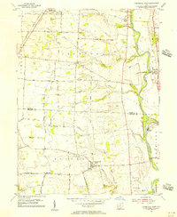
1955 · Commercial Point
USGS Topo · 1:24,000