
1955 Map of Harrisburg
USGS Topo · Published 1956About this map
Big Darby Creek winds through the heart of this landscape, forming a natural boundary that separates the townships of Pleasant, Darby, and Scioto. The mid-1950s terrain is marked by a network of rural settlements like Darbydale, Harrisburg, and Orient, connected by the Baltimore and Ohio Railroad and the Ohio and Memorial Highway. Of particular note is the expansive campus of the Orient State Institute near the banks of the creek.
Find a feature on this map
59 named features on this map. Tap any name to fly to it.
Don’t see what you’re looking for? This feature index may not catch every label — zoom into the map to look around manually.
Map Details
Editions of this 1955 Harrisburg Map
This is the sole edition of this map. No revisions or reprints were ever made.
Other maps of this area

1906 · Mt Sterling
USGS Topo · 1:62,500

1907 · London
USGS Topo · 1:62,500

1911 · Era
USGS Topo · 1:62,500

1913 · Era
USGS Topo · 1:62,500

1923 · West Columbus
USGS Topo · 1:62,500

1925 · West Columbus
USGS Topo · 1:62,500

1943 · Era
USGS Topo · 1:62,500

1947 · Columbus
USGS Topo · 1:250,000
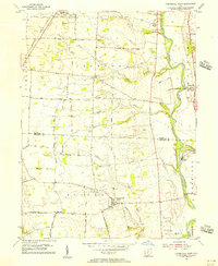
1955 · Commercial Point
USGS Topo · 1:24,000
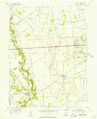
1955 · Galloway
USGS Topo · 1:24,000