Old Maps of Monroe County, Ohio for Genealogy
Trace your family roots with 130 historic maps of Monroe County. These high-res maps reveal old neighborhoods, homesites, landmarks, and streets — helping you uncover where your ancestors lived and how the area evolved over time.
- Explore historic neighborhoods: Identify where your relatives may have lived in the 1800s or 1900s.
- Compare maps over time: Trace the changes in streets, buildings, and landmarks for multi-generational research.
- Perfect for genealogy & ancestry research: Used by family historians and researchers to map out lineage and migration.
These maps are an incredible resource for exploring your personal connection to Monroe County's past.
Monroe County, OH maps
(130)- 1903 Map of Macksburg, 1958 Print
 1903 Macksburg1958 Print · USGSSoutheast Ohio's river valleys and rail corridors were the lifelines of Noble and Washington counties at the turn of the century. Genealogists can trace family roots through rural post offices like Germantown Saltpeter PO and rail hubs such as Macksburg and Dexter City.
 - 1905 Map of Clarington, 1913 Print
 1905 Clarington1913 Print · USGSThe Ohio River valley at the turn of the century shows a bustling corridor of coal mining and rail transport between Ohio and West Virginia. Genealogists can locate family homesteads near Armstrongs Mills, Powhatan Point, and several rural post offices like Welcome P.O.
 - 1905 Map of New Matamoras, 1916 Print
 1905 New Matamoras1916 Print · USGSMonroe and Washington counties come alive in the decade after the century's turn, showing a world of river commerce and ridge-top farming. Genealogists can trace family footprints across old postal stops like Langs P.O. and Centerview P.O. or the milling sites at Rinard Mills.
 - 1905 Map of Woodsfield, 1946 Print
 1905 Woodsfield1946 Print · USGSMonroe and Belmont counties are shown here in the first years of the twentieth century, when the rural landscape was tied together by small postal hubs and creek-side settlements. Genealogists can trace early homesteads near Baileys Mills, Somerton, or Beallsville along the Baltimore and Ohio RR.2 unique versions available
 - 1905 Map of Macksburg, 1948 Print
 1905 Macksburg1948 Print · USGSSoutheastern Ohio at the turn of the century was a landscape of deep creek valleys and rising ridges connected by river and rail. Local historians can trace early post offices like Carlisle Berne P.O. and the winding P. R. R. railroad.
 - 1906 Map of New Martinsville
 1906 New Martinsville1906 Print · USGSThe Ohio River valley at the turn of the century shows a landscape of busy rail lines and riverside towns. You can trace the Baltimore and Ohio railroad through Sistersville or locate early industrial sites like Winders Mill and Porters Falls.2 unique versions available
 - 1909 Map of Summerfield, 1958 Print
 1909 Summerfield1958 Print · USGSSoutheastern Ohio at the turn of the century reveals a landscape of tight-knit rural communities and a dense network of country schools. Researchers can trace the vanished postal routes of Spencers Sta PO, locate St Johns Church, or study the early rail lines through Quaker City.
 - 1911 Map of Summerfield, 1942 Print
 1911 Summerfield1942 Print · USGSSoutheast Ohio’s rural landscape is captured here during a time of peak settlement, showing the region's dense network of family-named ridges and valley farms. Genealogists can trace local roots through numerous landmarks like Richland Church, Kings Mine, and the Science Hill School.
 - 1924 Map of New Martinsville, 1956 Print
 1924 New Martinsville1956 Print · USGSThe Ohio River valley in the early twenties reveals a landscape of busy rail corridors and riverfront towns. Genealogists can locate family names and rural landmarks from Winders Mill to dozens of country schoolhouses like Democracy School and Wayne School.2 unique versions available
 - 1924 Map of New Matamoras, 1958 Print
 1924 New Matamoras1958 Print · USGSThe Ohio River borderlands are shown in detail during the mid-1920s, featuring the winding valleys of the Muskingum rivers. Genealogists can trace family locations through named schools and rural post offices like Rinard Mills, Salem Hall, and Zion Church.
 - 1926 Map of New Martinsville
 1926 New Martinsville1926 Print · USGSThe Ohio River valley in the mid-1920s reveals a bustling corridor of rail and river commerce connecting New Martinsville and Sistersville. Genealogists can trace hundreds of rural landmarks, from the County Infirmary to isolated hill schools like Rothlisberger School and Sugar Valley School.2 unique versions available
 - 1926 Map of New Matamoras
 1926 New Matamoras1926 Print · USGSThe Ohio River valley and the rugged interior of Monroe County appear here in the mid-1920s. Genealogists can trace early twentieth-century rural life through numerous small post offices and schools like Cochransville Centerview PO and Excelsior School.2 unique versions available
 - 1935 Map of Clarington, 1957 Print
 1935 Clarington1957 Print · USGSThe Ohio River valley during the mid-1930s reveals a landscape of ridge-top schools and creek-side coal works. Genealogists can locate family landmarks like McLain Chapel, Centerville Demos P.O., and the Woodland Hill Sch.2 unique versions available
 - 1940 Map of Clarington
 1940 Clarington1940 Print · USGSThe Ohio River borderlands between Belmont, Monroe, and Marshall counties are captured here just before the mid-century industrial shift. Genealogists can trace family names and small-town roots at Armstrongs Mills, McLain Chapel, and many rural schoolhouses like Mt Hobart Sch.
 - 1949 Map of Clarksburg
 1949 Clarksburg1949 Print · USGSThe upper Ohio River valley and the industrial heart of West Virginia come into focus during this post-war period. Genealogists and researchers can trace the rail corridors of the Baltimore and Ohio and locate centers like Fairmont, Grafton, and Waynesburg.
 - 1956 Map of Clarksburg, 1966 Print
 1956 Clarksburg1966 Print · USGSThe Ohio River valley and the industrial heart of West Virginia are seen here in the mid-1950s as rail and river commerce thrived. Researchers can trace historic transport lines like the Baltimore and Ohio RR and locate ancestral homes in Clarksburg, Moundsville, or Parkersburg.2 unique versions available
 - 1960 Map of Antioch, 1961 Print
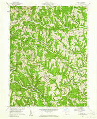 1960 Antioch1961 Print · USGSMonroe County was a landscape of deep timber and winding valley roads in the early sixties. Genealogists and hikers can trace the paths between Antioch, Mechanicsburg, and Fletchers Chapel, or locate old burial sites like Old Otts Cem.4 unique versions available
 - 1960 Map of Powhatan Point, 1961 Print
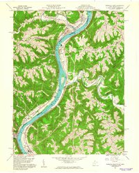 1960 Powhatan Point1961 Print · USGSThe Ohio River valley at the start of the 1960s shows a landscape of industrial growth and rail transit. Trace the river-and-rail economy through Powhatan Point, Natrium, and the facilities at Lock No. 14.5 unique versions available
 - 1960 Map of Rinard Mills, 1961 Print
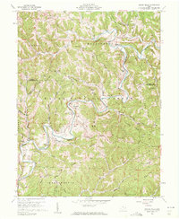 1960 Rinard Mills1961 Print · USGSThe Little Muskingum River valley in the early sixties is shown here as a landscape of timber and ridge-top farming. Genealogists can trace family roots through landmarks like Mt Hope Ch, Rinard Mills, and the Muskingum Valley Ch.3 unique versions available
 - 1960 Map of Graysville, 1961 Print
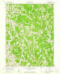 1960 Graysville1961 Print · USGSMonroe County's dissected plateau is shown in the early sixties, a landscape of steep ridges and the Wayne National Forest. Researchers can trace old family holdings through sites like Lamping Cem (Indian Mound) and the Covered Bridge at Sycamore Valley.4 unique versions available
 - 1960 Map of Paden City, 1961 Print
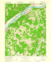 1960 Paden City1961 Print · USGSThe Ohio River valley thrives in the early sixties as a hub of industry and rail. Genealogists can trace family roots at Kidwell Ch, Stender Cem, and the riverfront communities of Paden City and Sistersville.4 unique versions available
 - 1960 Map of Round Bottom, 1962 Print
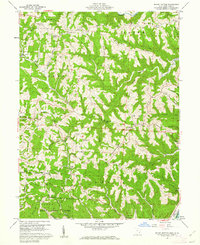 1960 Round Bottom1962 Print · USGSThe Ohio River hills of Monroe County are shown here in the early sixties, a landscape of ridge-top farms and river towns. Researchers can trace family history through sites like Winklers Mill, Emma Grove Cem, and the interior settlement of Round Bottom.4 unique versions available
 - 1960 Map of New Martinsville, 1962 Print
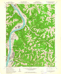 1960 New Martinsville1962 Print · USGSThe industrial and river life of the Ohio Valley is captured here at the start of the 1960s, centered on the growing hub of New Martinsville. Genealogists and historians can trace the B & O rail lines, old schools like Steelton Sch, and numerous family-named landmarks from Wells Bottom to Schupbach Ridge.4 unique versions available
 - 1960 Map of Cameron, 1962 Print
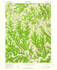 1960 Cameron1962 Print · USGSMonroe County in the early sixties remains a landscape of high ridges and deep hollows where rural life followed the contours of the land. Genealogists and historians can trace family roots at Pugh Cem, find the rural crossroads of Cameron, and locate old landmarks like Zion Ch.4 unique versions available
 - 1960 Map of New Matamoras, 1962 Print
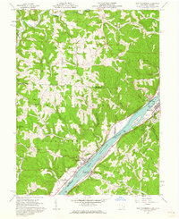 1960 New Matamoras1962 Print · USGSThe Ohio River valley was a thriving industrial and transport corridor in the early sixties, anchored by the riverfront centers of Sistersville and New Matamoras. Trace the old Baltimore and Ohio rail line, find ridge-top settlements like Jericho, or locate rural landmarks like Friendly Ch.4 unique versions available
Showing maps 1-25 of 130
Top cities of Monroe County
Frequently asked questions
- What are the different types of historical maps available for Monroe County?
- What is the oldest map of Monroe County?
- Where can I purchase historical maps of Monroe County for my home or office?
- Where can I download high-res historical maps of Monroe County?
- Are there historical topographic maps available for Monroe County?
- Is there historical aerial imagery available for Monroe County?
- Where are historical maps of Monroe County sourced from?