2000s (21st Century) Maps of Morgan County, Ohio
Explore 95 historic maps of Morgan County from the 2000s (21st Century). These maps offer a rare glimpse into what life looked like during the 2000s — showing old roads, neighborhoods, homes, and landmarks that have changed or disappeared over time.
Whether you're researching your family's past, planning a metal detecting trip, or studying how Morgan County's landscape evolved across the 2000s, these high-resolution maps are a powerful tool for exploring the history of this region.
- Focus on a specific era: All maps on this page are from the 2000s, giving you a focused view of this time period.
- See what’s changed: Compare century-old streets, trails, and buildings to today's modern landscape using overlays and satellite layers.
- Research with precision: Use these maps for genealogy, historical research, land use analysis, or educational projects.
- View, download, or print: Maps are fully viewable online in high resolution, and can be downloaded or printed for your own records.
Start exploring Morgan County's history through authentic maps from the 2000s. This is your window into the past.
Morgan County, OH maps
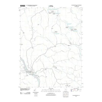
(95)- 2002 Map of Amesville, 2006 Print
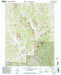 2002 Amesville2006 Print · USGSThe Appalachian foothills of Athens and Morgan counties appear here at the turn of the millennium, showing a landscape defined by coal and timber. Researchers can trace family roots at Beasley Cem and explore old settlements like Sharpsburg or Lathrop.
 - 2002 Map of Corning, 2006 Print
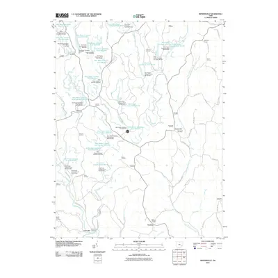
 2002 Corning2006 Print · USGSThe Hocking Valley region at the start of the 21st century reveals a landscape shaped by coal mining and modern conservation. Genealogists can locate family sites at Glouster Cem and Maplewood Cem, or trace the legacy of settlements like Millertown and McLeish.
 - 2002 Map of Chesterhill, 2006 Print
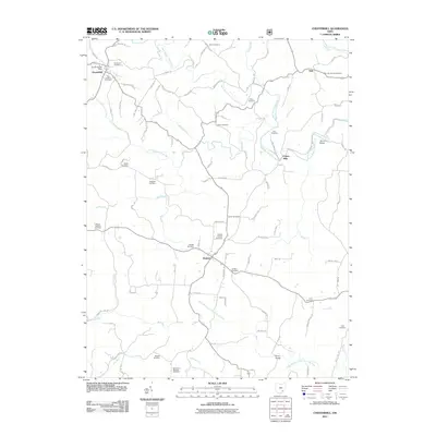
 2002 Chesterhill2006 Print · USGSSoutheastern Ohio at the turn of the millennium reveals a landscape of high ridges and deep hollows where three counties meet. Genealogists can trace family names through numerous rural landmarks, including the Friends Cem, Mt Hermon Ch, and the crossroads at Chesterhill.
 - 2002 Map of Deavertown, 2006 Print
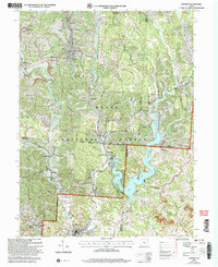
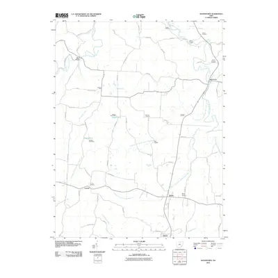
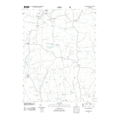
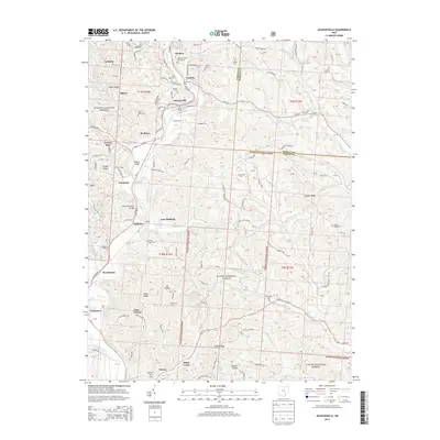
 2002 Deavertown2006 Print · USGSPerry and Morgan counties at the start of the new millennium show a landscape defined by the Wayne National Forest and a legacy of mining. Genealogists can trace family names at McCaulley Cem or find old community hubs like Rose Farm and the Bearfield Sch.
 - 2002 Map of Jacksonville, 2006 Print
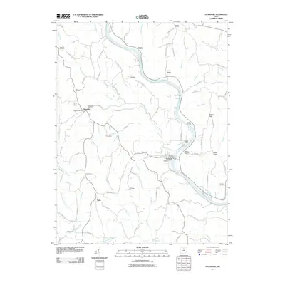
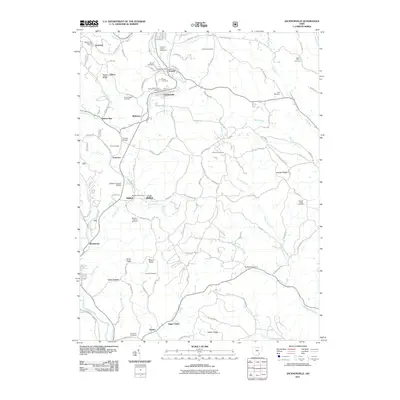
 2002 Jacksonville2006 Print · USGSSoutheast Ohio's coal country comes into focus at the turn of the millennium, showing a landscape shaped by both forest and industry. Genealogists and historians can trace family sites like Sands Cem and Augustine Cem or locate industrial markers such as the tipple near East Millfield.
 - 2010 Map of Crooksville, 2010 Print
 2010 Crooksville2010 Print · USGSCovers Morgan County, including Crooksville, Avondale, and other nearby areas
 - 2010 Map of Lowell, 2010 Print
 2010 Lowell2010 Print · USGSCovers Morgan County, including Lowell, Coal Run, and other nearby areas
 - 2010 Map of Caldwell South, 2010 Print
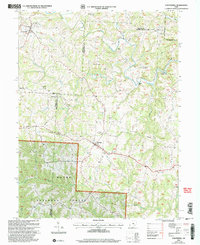
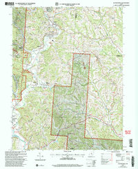
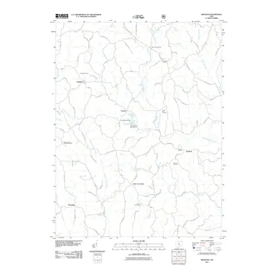
 2010 Caldwell South2010 Print · USGSCovers Morgan County, including Caldwell, Sharon, and other nearby areas
 - 2010 Map of Philo, 2010 Print
 2010 Philo2010 Print · USGSCovers Morgan County, including Brush Creek, Philo, and other nearby areas
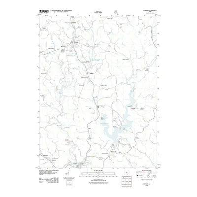
 - 2010 Map of Cumberland, 2010 Print
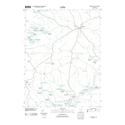 2010 Cumberland2010 Print · USGSCovers Morgan County, including Cumberland, Coal Hill, and other nearby areas
 - 2010 Map of Ruraldale, 2010 Print
 2010 Ruraldale2010 Print · USGSCovers Morgan County, including Museville, High Hill, and other nearby areas
 - 2010 Map of Beverly, 2010 Print
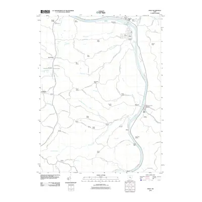
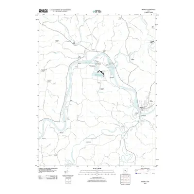 2010 Beverly2010 Print · USGSCovers Morgan County, including Waterford, Beverly, and other nearby areas
 - 2010 Map of McConnelsville, 2010 Print
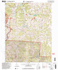
 2010 McConnelsville2010 Print · USGSCovers Morgan County, including McConnelsville, Malta, and other nearby areas
 - 2010 Map of Watertown, 2010 Print
 2010 Watertown2010 Print · USGSCovers Morgan County, including Barlow, Watertown, and other nearby areas
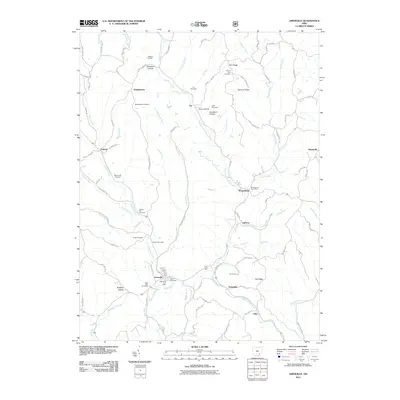
 - 2010 Map of Reinersville, 2010 Print
 2010 Reinersville2010 Print · USGSCovers Morgan County, including Bristol, Reinersville, and other nearby areas
 - 2010 Map of Stockport, 2010 Print
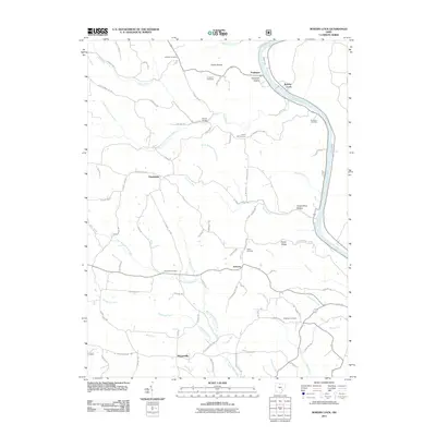
 2010 Stockport2010 Print · USGSCovers Morgan County, including Stockport, Hooksburg, and other nearby areas
 - 2011 Map of Deavertown, 2011 Print
 2011 Deavertown2011 Print · USGSCovers Morgan County, including Crooksville, Rendville, and other nearby areas
 - 2011 Map of Jacksonville, 2011 Print
 2011 Jacksonville2011 Print · USGSCovers Morgan County, including Glouster, Chauncey, and other nearby areas
 - 2011 Map of Corning, 2011 Print
 2011 Corning2011 Print · USGSCovers Morgan County, including Glouster, Corning, and other nearby areas
 - 2011 Map of Amesville, 2011 Print
 2011 Amesville2011 Print · USGSCovers Morgan County, including Amesville, Joy, and other nearby areas
 - 2011 Map of Ringgold, 2011 Print
 2011 Ringgold2011 Print · USGSCovers Morgan County, including Ringgold, Rosseau, and other nearby areas
 - 2011 Map of Rokeby Lock, 2011 Print
 2011 Rokeby Lock2011 Print · USGSCovers Morgan County, including Eagleport, Rokeby Lock, and other nearby areas
 - 2011 Map of Chesterhill, 2011 Print
 2011 Chesterhill2011 Print · USGSCovers Morgan County, including Chesterhill, Dale, and other nearby areas
 - 2013 Map of Jacksonville, 2013 Print
 2013 Jacksonville2013 Print · USGSCovers Morgan County, including Glouster, Chauncey, and other nearby areas
 - 2013 Map of Deavertown, 2013 Print
 2013 Deavertown2013 Print · USGSCovers Morgan County, including Crooksville, Rendville, and other nearby areas
Showing maps 1-25 of 95
Top cities of Morgan County
- McConnelsville historical maps
- Malta historical maps
- Stockport historical maps
- Chesterhill historical maps
- Bristol historical maps
Frequently asked questions
- What are the different types of historical maps available for Morgan County?
- What is the oldest map of Morgan County?
- Where can I purchase historical maps of Morgan County for my home or office?
- Where can I download high-res historical maps of Morgan County?
- Are there historical topographic maps available for Morgan County?
- Is there historical aerial imagery available for Morgan County?
- Where are historical maps of Morgan County sourced from?