2020s Maps of Paulding, Ohio
Explore 2 historic maps of Paulding from the 2020s. These maps offer a rare glimpse into what life looked like during the 2020s — showing old roads, neighborhoods, homes, and landmarks that have changed or disappeared over time.
Whether you're researching your family's past, planning a metal detecting trip, or studying how Paulding's landscape evolved across the 2020s, these high-resolution maps are a powerful tool for exploring the history of this region.
- Focus on a specific era: All maps on this page are from the 2020s, giving you a focused view of this time period.
- See what’s changed: Compare century-old streets, trails, and buildings to today's modern landscape using overlays and satellite layers.
- Research with precision: Use these maps for genealogy, historical research, land use analysis, or educational projects.
- View, download, or print: Maps are fully viewable online in high resolution, and can be downloaded or printed for your own records.
Start exploring Paulding's history through authentic maps from the 2020s. This is your window into the past.
Paulding, OH maps
(2)- 2023 Map of Latty, 2023 Print
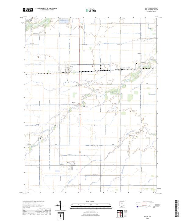 2023 Latty2023 Print · USGSPaulding County is captured here in the early twenty-first century, showing a landscape of small villages and established family farmsteads. Researchers can locate early burial sites like Hedges Cem and trace the paths of Horse Run or Prairie Creek.
 - 2023 Map of Paulding, 2023 Print
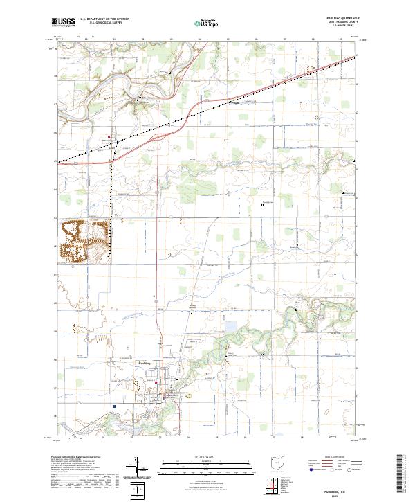 2023 Paulding2023 Print · USGSPaulding and the surrounding rural townships are shown here in 2023, centered on the historic Paulding County Courthouse. Genealogists and local historians can trace family plots across numerous sites like Pleasant Grove Cem, Ankney Cem, and Renollet Cem.
End of results
Showing maps 1-2 of 2
Top cities near Paulding
- Defiance historical maps
- Hicksville historical maps
- Antwerp historical maps
- Payne historical maps
- Convoy historical maps
- Sherwood historical maps
See more
Frequently asked questions
- What are the different types of historical maps available for Paulding?
- What is the oldest map of Paulding?
- Where can I purchase historical maps of Paulding for my home or office?
- Where can I download high-res historical maps of Paulding?
- Are there historical topographic maps available for Paulding?
- Is there historical aerial imagery available for Paulding?
- Where are historical maps of Paulding sourced from?