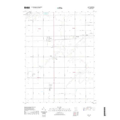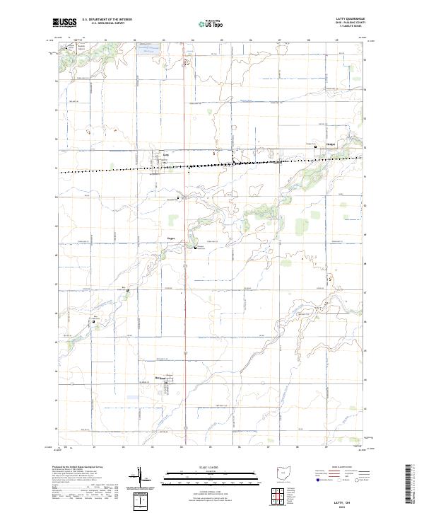
2023 Map of Latty
USGS Topo · Published 2023About this map
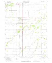
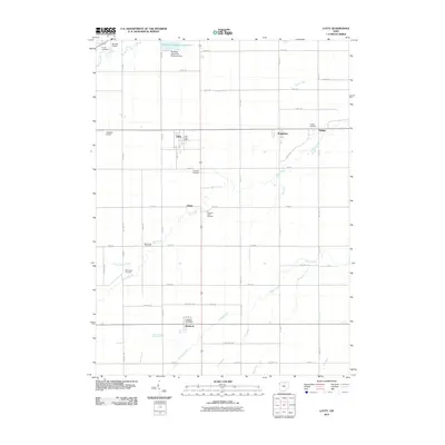
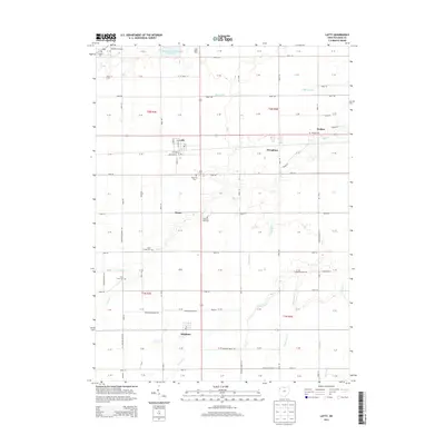
The village of Latty serves as a central hub in this section of Paulding County, where the grid of rural roads meets the east-west corridor of Broadway St. This landscape is defined by its extensive network of waterways, with Blue Creek and its namesake Blue Creek Cem situated north of Haviland. The drainage patterns, including Barcer Run, Cunningham Creek, and Hagerman Creek, illustrate the engineered nature of this agricultural region. Scattered across the township are several small settlements and historical markers, such as Hedges, Dague, and Broughton. Genealogists will find several distinct burial grounds, including the Haines Cem and Apostolic Cem. To the northwest, the Paulding Upground Reservoir and the Buehler Airport represent more modern infrastructure developments within this traditional farming community.
Find a feature on this map
44 named features on this map. Tap any name to fly to it.
Don’t see what you’re looking for? This feature index may not catch every label — zoom into the map to look around manually.
Map Details
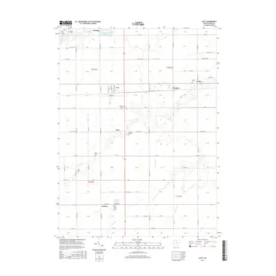
Editions of this 2023 Latty Map
This is the sole edition of this map. No revisions or reprints were ever made.
Historical Maps of Paulding Through Time
6 maps found