Old Maps of Paulding, Ohio for Academic Research
Study the evolution of Paulding with 17 high-resolution historic maps. Whether you're teaching, researching, or modeling changes in land use, these maps provide essential visual documentation of urban, environmental, and geographic change.
- Analyze long-term change: Track patterns in development, transportation, and natural features.
- Ideal for environmental or urban studies: Support academic projects with primary historical map data.
- Use in the classroom or lab: Educators and researchers rely on these maps to bring historical context to life.
These maps are a powerful tool for teaching, research, and visualizing how Paulding has changed over the decades.
Paulding, OH maps
(17)- 1914 Map of Paulding, 1942 Print
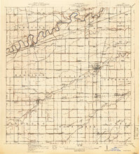 1914 Paulding1942 Print · USGSNorthwest Ohio at the height of the railroad era reveals a landscape defined by the Maumee River and the legacy of the Wabash Canal. Genealogists and historians can trace numerous rural schoolhouses like Champion School and vanished rail stops at Knoxdale or Briceton.2 unique versions available
 - 1944 Map of Paulding
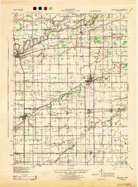 1944 Paulding1944 Print · USGSPaulding County is captured here in the mid-forties, showing a landscape of small farm towns and a remarkable concentration of rural schoolhouses. Genealogists can trace family roots through sites like Swamp College, Cecil, and Hardesty Sch along the Wabash RR.
 - 1953 Map of Fort Wayne, 1963 Print
 1953 Fort Wayne1963 Print · USGSNortheast Indiana and its neighboring borderlands in Michigan and Ohio appear here during a peak era of rail and road expansion. Researchers can trace the massive rail networks of the Nickel Plate Road and Wabash or locate lakeside landmarks like Lake Wawasee and Clear Lake.4 unique versions available
 - 1956 Map of Fort Wayne
 1956 Fort Wayne1956 Print · USGSThe tri-state borderlands of Indiana, Michigan, and Ohio are captured here in the mid-fifties, centered on the growing industrial hub of Fort Wayne. Researchers can trace the heavy rail lines of the New York Central and Pennsylvania alongside prominent water features like Lake Wawasee and the Maumee River.2 unique versions available
 - 1960 Map of Latty, 1961 Print
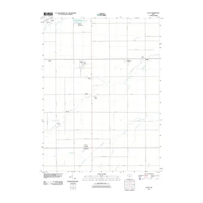
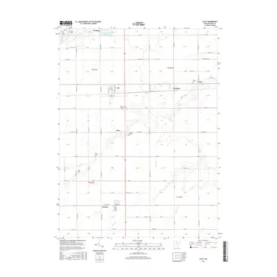
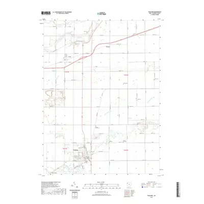
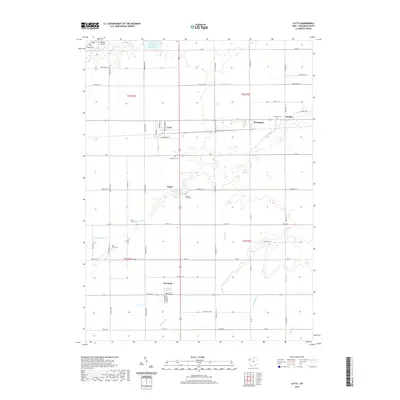
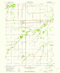 1960 Latty1961 Print · USGSPaulding County is captured here at the start of the 1960s, showing a landscape defined by industrial rail crossings and productive farmland. Genealogists can locate family landmarks like the Blue Creek School, Pleasant View Cemetery, and rural stops in Broughton or Haviland.2 unique versions available
 - 1960 Map of Paulding, 1961 Print
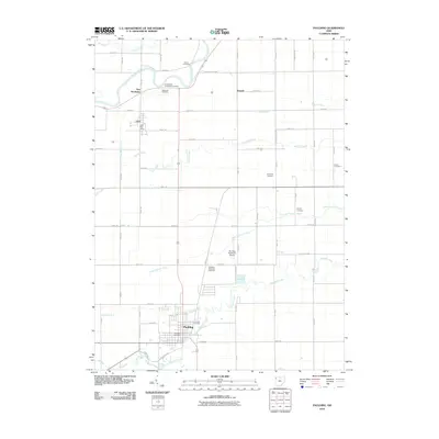
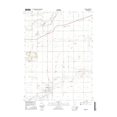
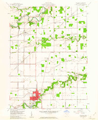 1960 Paulding1961 Print · USGSPaulding County in the early sixties reveals a landscape of industrial kilns and river-bend settlements. Genealogists can trace family names at Upthegrove Cem and Ankney Cem, or locate the historic Eaton Childrens Home and County Home.3 unique versions available
 - 1986 Map of Defiance, 1992 Print
 1986 Defiance1992 Print · USGSNorthwest Ohio and Eastern Indiana appear in the late eighties as a landscape shaped by significant river confluences and rail corridors. Researchers can trace the layout of local towns and landmarks like Defiance College, Forest Hill Cem, and the path of the Norfolk and Western RR.
 - 2010 Map of Latty, 2010 Print
 2010 Latty2010 Print · USGSCovers Paulding, including Latty, Haviland, and other nearby areas
 - 2010 Map of Paulding, 2010 Print
 2010 Paulding2010 Print · USGSCovers Paulding, including Cecil, Emmett, and other nearby areas
 - 2013 Map of Latty, 2013 Print
 2013 Latty2013 Print · USGSCovers Paulding, including Latty, Haviland, and other nearby areas
 - 2013 Map of Paulding, 2013 Print
 2013 Paulding2013 Print · USGSCovers Paulding, including Cecil, Emmett, and other nearby areas
 - 2016 Map of Latty, 2016 Print
 2016 Latty2016 Print · USGSCovers Paulding, including Latty, Haviland, and other nearby areas
 - 2016 Map of Paulding, 2016 Print
 2016 Paulding2016 Print · USGSCovers Paulding, including Cecil, Emmett, and other nearby areas
 - 2019 Map of Paulding, 2019 Print
 2019 Paulding2019 Print · USGSCovers Paulding, including Cecil, Emmett, and other nearby areas
 - 2019 Map of Latty, 2019 Print
 2019 Latty2019 Print · USGSCovers Paulding, including Latty, Haviland, and other nearby areas
 - 2023 Map of Latty, 2023 Print
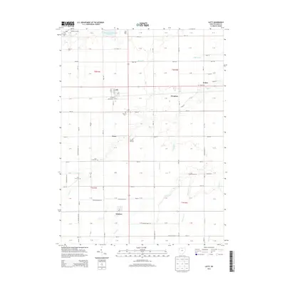
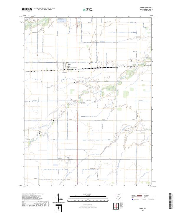 2023 Latty2023 Print · USGSPaulding County is captured here in the early twenty-first century, showing a landscape of small villages and established family farmsteads. Researchers can locate early burial sites like Hedges Cem and trace the paths of Horse Run or Prairie Creek.
 - 2023 Map of Paulding, 2023 Print
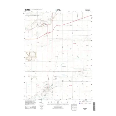
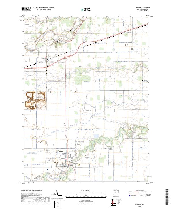 2023 Paulding2023 Print · USGSPaulding and the surrounding rural townships are shown here in 2023, centered on the historic Paulding County Courthouse. Genealogists and local historians can trace family plots across numerous sites like Pleasant Grove Cem, Ankney Cem, and Renollet Cem.
End of results
Showing maps 1-17 of 17
Top cities near Paulding
- Defiance historical maps
- Hicksville historical maps
- Antwerp historical maps
- Payne historical maps
- Convoy historical maps
- Sherwood historical maps
See more
Frequently asked questions
- What are the different types of historical maps available for Paulding?
- What is the oldest map of Paulding?
- Where can I purchase historical maps of Paulding for my home or office?
- Where can I download high-res historical maps of Paulding?
- Are there historical topographic maps available for Paulding?
- Is there historical aerial imagery available for Paulding?
- Where are historical maps of Paulding sourced from?