Old Maps of Cherokee, Oklahoma for Academic Research
Study the evolution of Cherokee with 16 high-resolution historic maps. Whether you're teaching, researching, or modeling changes in land use, these maps provide essential visual documentation of urban, environmental, and geographic change.
- Analyze long-term change: Track patterns in development, transportation, and natural features.
- Ideal for environmental or urban studies: Support academic projects with primary historical map data.
- Use in the classroom or lab: Educators and researchers rely on these maps to bring historical context to life.
These maps are a powerful tool for teaching, research, and visualizing how Cherokee has changed over the decades.
Cherokee, OK maps
(16)- 1955 Map of Woodward, 1967 Print
 1955 Woodward1967 Print · USGSNorthwest Oklahoma and the bordering plains are captured during the mid-sixties, showing a landscape defined by river valleys and massive water projects. Researchers can trace family roots in towns like Woodward and Alva or locate landmarks such as the Western Oklahoma State Hospital and Kegelman AF.3 unique versions available
 - 1958 Map of Woodward
 1958 Woodward1958 Print · USGSNorthwest Oklahoma and the neighboring panhandle borders are shown here during a period of steady mid-century growth. Researchers can trace the rail networks of the Atchison Topeka and Santa Fe and locate landmarks like the Western Oklahoma State Hospital and Port Supply Reservoir.2 unique versions available
 - 1969 Map of Cherokee North, 1971 Print
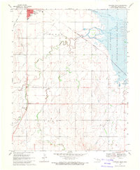
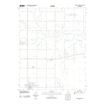
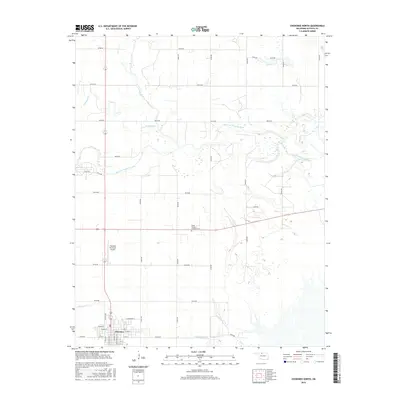
 1969 Cherokee North1971 Print · USGSAlfalfa County's saline landscape is captured here in the late sixties as it transitions from a rail-dependent hub to a center for conservation and energy. You can trace the Atchison Topeka and Santa Fe Railroad lines or locate the Stella Friends Academy Cem.
 - 1969 Map of Cherokee South, 1971 Print
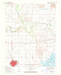
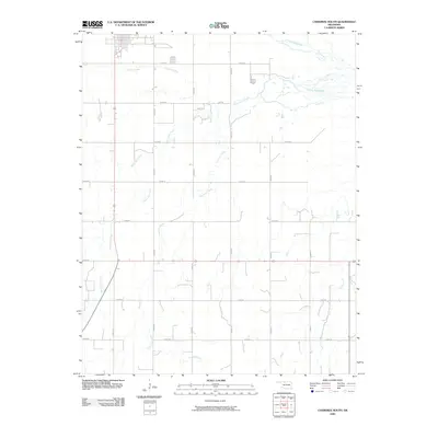
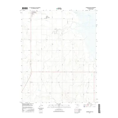
 1969 Cherokee South1971 Print · USGSAlfalfa County's salt plains and agricultural lands are captured here in the late sixties as the town of Cherokee serves as a vital rail and road hub. Researchers can locate the Cherokee Cem, trace the Atchison Topeka and Santa Fe tracks, and see the early boundaries of the Salt Plains National Wildlife Refuge.
 - 1985 Map of Alva, 1986 Print
 1985 Alva1986 Print · USGSNorthern Oklahoma in the mid-eighties was a landscape of rail-connected prairie towns and unique geologic features. Researchers can trace the legacy of the ATCHISON TOPEKA AND SANTA FE through Alva, locate the State School for Boys, or explore the boundaries of the Great Salt Plains Reservoir.
 - 1990 Map of Alva
 1990 Alva1990 Print · USGSThe Oklahoma-Kansas borderlands in the 1990s reveal a landscape shaped by vast salt flats and crucial rail corridors. Genealogists and historians can trace the growth of Alva and Waynoka or locate landmarks like the State School for Boys and Little Sahara State Park.
 - 2009 Map of Cherokee North, 2009 Print
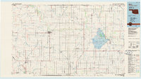
 2009 Cherokee North2009 Print · USGSCovers Cherokee, including Alfalfa County, United States, and other nearby areas
 - 2009 Map of Cherokee South, 2009 Print
 2009 Cherokee South2009 Print · USGSCovers Cherokee, including Alfalfa County, United States, and other nearby areas
 - 2012 Map of Cherokee South, 2012 Print
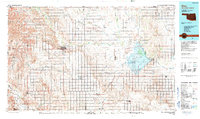
 2012 Cherokee South2012 Print · USGSCovers Cherokee, including Alfalfa County, United States, and other nearby areas
 - 2012 Map of Cherokee North, 2012 Print
 2012 Cherokee North2012 Print · USGSCovers Cherokee, including Alfalfa County, United States, and other nearby areas
 - 2016 Map of Cherokee South, 2016 Print
 2016 Cherokee South2016 Print · USGSCovers Cherokee, including Alfalfa County, United States, and other nearby areas
 - 2016 Map of Cherokee North, 2016 Print
 2016 Cherokee North2016 Print · USGSCovers Cherokee, including Alfalfa County, United States, and other nearby areas
 - 2018 Map of Cherokee North, 2018 Print
 2018 Cherokee North2018 Print · USGSCovers Cherokee, including Alfalfa County, United States, and other nearby areas
 - 2018 Map of Cherokee South, 2018 Print
 2018 Cherokee South2018 Print · USGSCovers Cherokee, including Alfalfa County, United States, and other nearby areas
 - 2022 Map of Cherokee North, 2022 Print
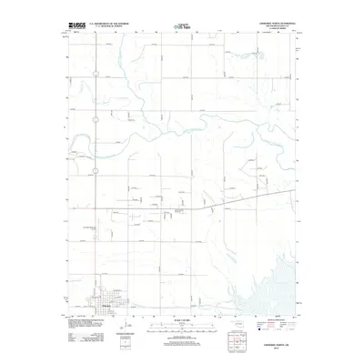
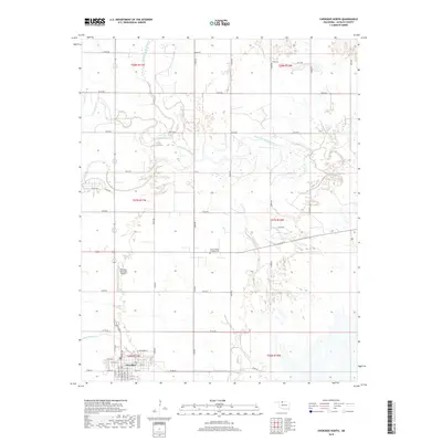
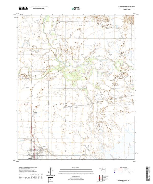 2022 Cherokee North2022 Print · USGSAlfalfa County life in the early twenty-first century centers on the town of Cherokee and its surrounding river valleys. Researchers can locate family sites near the Stella Friends Academy Cem or trace the drainage of the Medicine Lodge River.
 - 2022 Map of Cherokee South, 2022 Print
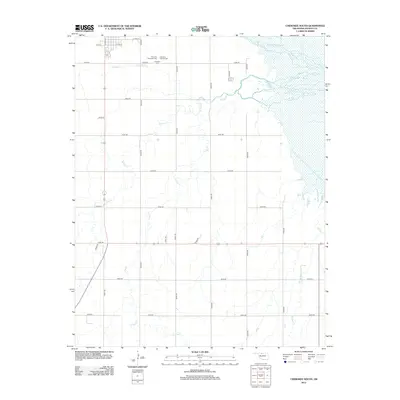
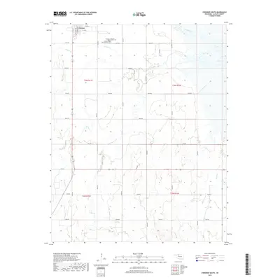
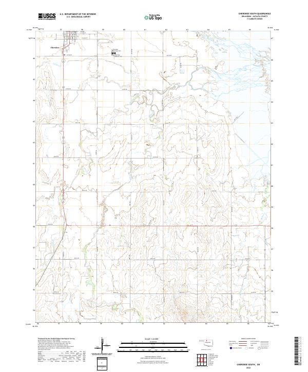 2022 Cherokee South2022 Print · USGSThe southern edge of Cherokee and the Alfalfa County plains are mapped here in the early twenty-first century. Genealogists can locate the Cherokee Municipal Cem and Cherokee Catholic Cem while tracing the winding paths of Clay Cr and Spring Cr.
End of results
Showing maps 1-16 of 16
Top cities near Cherokee
- Helena historical maps
- Carmen historical maps
- Goltry historical maps
- Jet historical maps
- Burlington historical maps
- Dacoma historical maps
See more
Frequently asked questions
- What are the different types of historical maps available for Cherokee?
- What is the oldest map of Cherokee?
- Where can I purchase historical maps of Cherokee for my home or office?
- Where can I download high-res historical maps of Cherokee?
- Are there historical topographic maps available for Cherokee?
- Is there historical aerial imagery available for Cherokee?
- Where are historical maps of Cherokee sourced from?