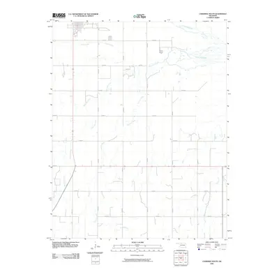
2009 Map of Cherokee South
USGS Topo · Published 2009About this map
The agrarian landscape south of Cherokee, Oklahoma, is defined by an intricate network of drainage systems feeding into Clay Creek. This territory, mapped by the U.S. Geological Survey, illustrates the structured section-line road grid typical of the Great Plains, where routes like e0210 RD and n2640 RD partition the land for agricultural production. The hydrology of the region is notably complex, with the branching of West Clay Creek and East Clay Creek creating a winding pattern across the terrain. Farther north, the map shows Lambert Creek and Cottonwood Creek as they traverse the northern sections, while Spring Creek appears along the eastern edge. These watercourses are vital landmarks in a region where the intersection of natural creek beds and rigid roadway engineering dictates the local geography and land use patterns.
Find a feature on this map
22 named features on this map. Tap any name to fly to it.
Don’t see what you’re looking for? This feature index may not catch every label — zoom into the map to look around manually.
Map Details
Editions of this 2009 Cherokee South Map
This is the sole edition of this map. No revisions or reprints were ever made.
Other maps of this area

1955 · Woodward
USGS Topo · 1:250,000

1958 · Woodward
USGS Topo · 1:250,000

1968 · Carmen
USGS Topo · 1:24,000

1969 · Jet
USGS Topo · 1:24,000

1969 · Goltry
USGS Topo · 1:24,000

1969 · Lambert
USGS Topo · 1:24,000

1969 · Helena
USGS Topo · 1:24,000

1969 · Manchester SW
USGS Topo · 1:24,000

1969 · Cherokee North
USGS Topo · 1:24,000

1969 · Ingersoll
USGS Topo · 1:24,000