Old Maps of Caddo, Oklahoma for Genealogy
Trace your family roots with 17 historic maps of Caddo. These high-res maps reveal old neighborhoods, homesites, landmarks, and streets — helping you uncover where your ancestors lived and how the area evolved over time.
- Explore historic neighborhoods: Identify where your relatives may have lived in the 1800s or 1900s.
- Compare maps over time: Trace the changes in streets, buildings, and landmarks for multi-generational research.
- Perfect for genealogy & ancestry research: Used by family historians and researchers to map out lineage and migration.
These maps are an incredible resource for exploring your personal connection to Caddo's past.
Caddo, OK maps
(17)- 1899 Map of Atoka
 1899 Atoka1899 Print · USGSIn the final years of the Indian Territory, this map details the complex border between the Chickasaw and Choctaw Nations. Genealogists can trace early homesteads near Old Boggy Depot, the Buffalo Creek Church, and the Chickasaw Rock Academy.
 - 1900 Map of Atoka
 1900 Atoka1900 Print · USGSIndian Territory at the turn of the century shows the developing rail-and-river network before Oklahoma statehood. Genealogists and historians can trace original settlements like Old Boggy Depot, find the Chickasaw Rock Academy, and follow the Missouri Kansas and Texas R.R. through Atoka.4 unique versions available
 - 1957 Map of Ardmore, 1968 Print
 1957 Ardmore1968 Print · USGSSouth-central Oklahoma in the late fifties was a landscape of rising reservoir waters and expanding rail lines. Genealogists and historians can trace the foundations of Ardmore and Duncan or locate early recreation sites at Platt National Park and Lake Murray State Park.3 unique versions available
 - 1963 Map of Ardmore
 1963 Ardmore1963 Print · USGSSouthern Oklahoma during the early sixties shows a landscape defined by the Arbuckle Mountains and a booming energy economy. Genealogists and historians can trace family-named sites across the Ardmore Oil Field, find old schools like Southeastern State College, or locate historic markers such as Boggy Depot State Park.2 unique versions available
 - 1969 Map of Caddo North, 1971 Print
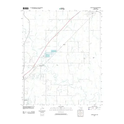
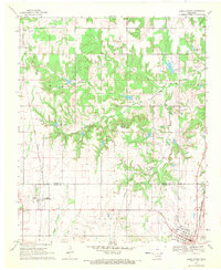 1969 Caddo North1971 Print · USGSThe Oklahoma borderlands of Atoka and Bryan counties come alive in this late-sixties study of the Kenefic and Caddo area. Researchers can trace the dual rail lines of the Kansas Oklahoma and Gulf and the Missouri Kansas Texas or locate family sites at Maytubby Cem and Perkins Cem.
 - 1969 Map of Caddo South, 1971 Print
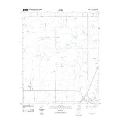
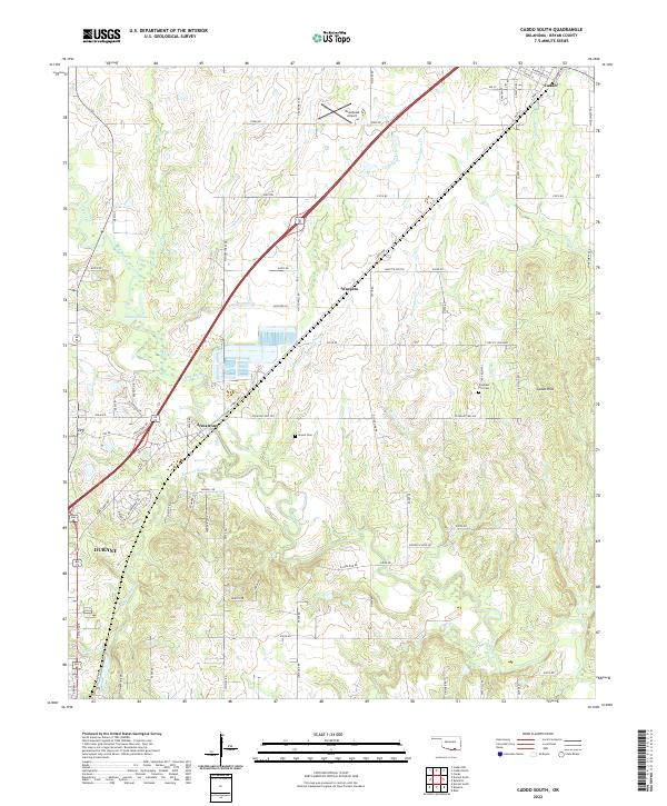
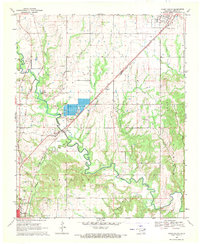 1969 Caddo South1971 Print · USGSBryan County in the late sixties is defined by its transit corridors and the sprawling river valleys of the Blue River. Genealogists and historians can trace the rural infrastructure of Armstrong and Wasseta or locate landmarks like Pleasant Hill Cem and the State Fish Hatchery.
 - 1985 Map of Tishomingo, 1986 Print
 1985 Tishomingo1986 Print · USGSSouthern Oklahoma in the mid-eighties reveals a landscape shaped by significant water projects and conservation lands. Genealogists and historians can trace the footprints of communities like Wapanucka and Bromide alongside the Washita River and Lake Texoma.3 unique versions available
 - 2010 Map of Caddo North, 2010 Print
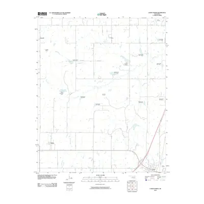 2010 Caddo North2010 Print · USGSCovers Caddo, including Kenefic, Hopewell, and other nearby areas
 - 2010 Map of Caddo South, 2010 Print
 2010 Caddo South2010 Print · USGSCovers Caddo, including Durant, Armstrong, and other nearby areas
 - 2012 Map of Caddo North, 2012 Print
 2012 Caddo North2012 Print · USGSCovers Caddo, including Kenefic, Hopewell, and other nearby areas
 - 2012 Map of Caddo South, 2012 Print
 2012 Caddo South2012 Print · USGSCovers Caddo, including Durant, Armstrong, and other nearby areas
 - 2016 Map of Caddo North, 2016 Print
 2016 Caddo North2016 Print · USGSCovers Caddo, including Kenefic, Hopewell, and other nearby areas
 - 2016 Map of Caddo South, 2016 Print
 2016 Caddo South2016 Print · USGSCovers Caddo, including Durant, Armstrong, and other nearby areas
 - 2018 Map of Caddo North, 2018 Print
 2018 Caddo North2018 Print · USGSCovers Caddo, including Kenefic, Hopewell, and other nearby areas
 - 2018 Map of Caddo South, 2018 Print
 2018 Caddo South2018 Print · USGSCovers Caddo, including Durant, Armstrong, and other nearby areas
 - 2022 Map of Caddo South, 2022 Print
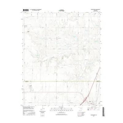
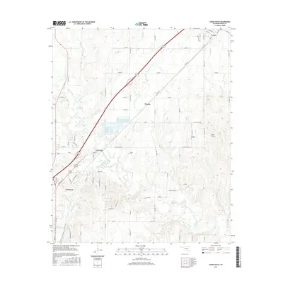
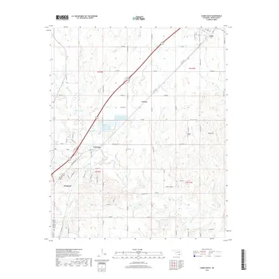
 2022 Caddo South2022 Print · USGSThe Bryan County corridor between Caddo and Durant is captured here in the early twenty-first century. Researchers can trace family history at Brown Cem or explore the geography of Armstrong and the Blue River drainage.
 - 2022 Map of Caddo North, 2022 Print
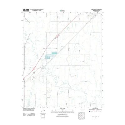
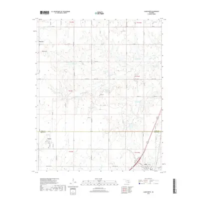
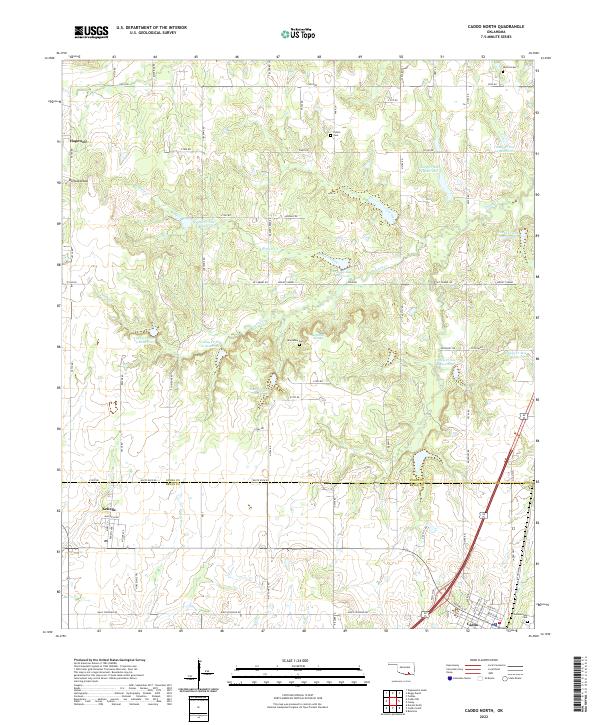 2022 Caddo North2022 Print · USGSThe borderlands of Atoka and Bryan counties appear here during a contemporary period of rural settlement and water management. Genealogists and local historians can trace family sites like Maytubby Cem, the town of Kenefic, and landmarks along Nails Crossing Rd.
End of results
Showing maps 1-17 of 17
Top cities near Caddo
- Durant historical maps
- Atoka historical maps
- Calera historical maps
- Bokchito historical maps
- Tushka historical maps
- Bennington historical maps
See more
Frequently asked questions
- What are the different types of historical maps available for Caddo?
- What is the oldest map of Caddo?
- Where can I purchase historical maps of Caddo for my home or office?
- Where can I download high-res historical maps of Caddo?
- Are there historical topographic maps available for Caddo?
- Is there historical aerial imagery available for Caddo?
- Where are historical maps of Caddo sourced from?